Wilderness Flat Tops
Community Reviews
Been here? Share the conditions.
Reviews, ratings & photos are added in the free Snoflo iOS app — rate a spot, tag the conditions, and your visit is verified by location. Add or manage your reviews from the app.

Wilderness Flat Tops
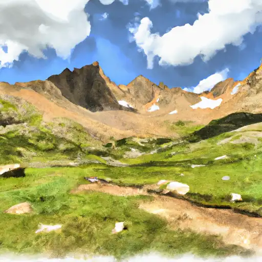
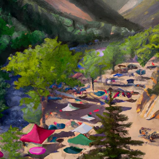
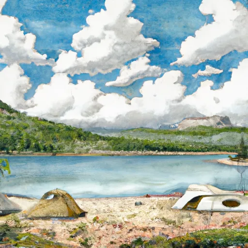
One of the main attractions in Wilderness Flat Tops is the scenic beauty of its alpine meadows, deep canyons, and towering peaks. The area is particularly known for its unique flat-topped mountains, which provide stunning panoramic views. Visitors can also explore the many crystal-clear lakes and rivers that dot the landscape, offering excellent opportunities for fishing, kayaking, and paddleboarding.
Wilderness Flat Tops is home to a rich variety of wildlife, including elk, deer, bear, mountain lions, and a plethora of bird species. Wildlife enthusiasts will have the chance to observe these animals in their natural habitats and capture incredible photographs.
Several points of interest within the Wilderness Flat Tops include the Devil's Causeway, a narrow land bridge with steep drops on either side that provides a thrilling hiking experience. Trappers Lake, also known as the "Cradle of Wilderness," is another must-see location, known for its scenic beauty and abundant fish population. Additionally, visitors can explore the numerous trails throughout the region, such as the East Fork Trail and the Chinese Wall, which offer breathtaking views and challenging hikes.
Interesting facts about Wilderness Flat Tops include its designation as the second-largest wilderness area in Colorado, spanning over 235,000 acres. The area is also known for the rich history of Ute Native Americans, who once inhabited this land and left traces of their heritage behind.
The best time to visit Wilderness Flat Tops largely depends on personal preferences and the desired activities. Summer (June to September) offers mild weather, longer days, and access to high-elevation hikes and camping. Autumn (September to November) brings stunning fall colors and fewer crowds. Winter (December to February) offers opportunities for snowshoeing, cross-country skiing, and wildlife tracking. However, it's important to note that winter conditions can be harsh and access may be limited. Spring (March to May) provides milder temperatures and the chance to witness the area's vibrant wildflowers blooming.
To ensure accuracy, it is recommended to verify all information across multiple independent sources, including official park websites, travel guides, and local tourism sources.
Snowpack in Wilderness Flat Tops
Current snow depth at SNOTEL stations inside the park boundary.
Trails in Wilderness Flat Tops
Named trails whose route falls inside the park.
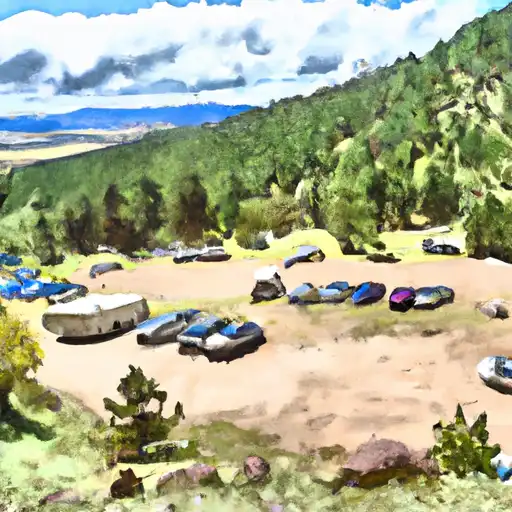
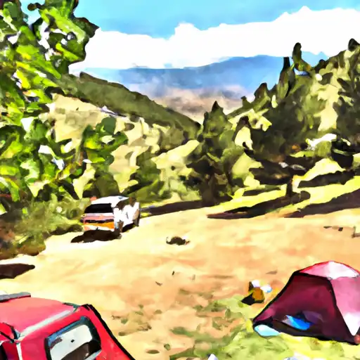
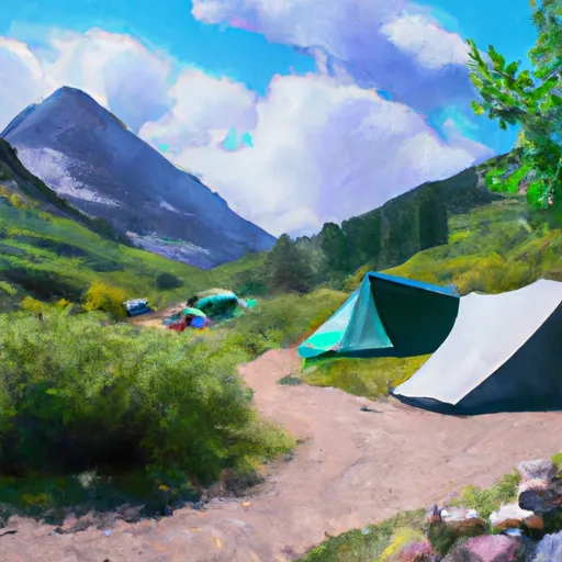
Camping in Wilderness Flat Tops
Campgrounds inside the park, with today's conditions score.


Points of interest in Wilderness Flat Tops
Landmarks and points of interest inside the park boundary.

Plan your visit down to the hour
Same weather feed Snoflo's iOS app uses -- updated continuously from NOAA / yr.no.
Next 5 days, hour by hour
Temperature line with weather symbols on top, snow + rain accumulation as columns, humidity as a dotted line.
5-day forecast table
Every 3 hours, broken out across temperature, snow, rain, humidity, and wind.
| Time | Condition | Temp (°F) | Snow (in) | Rain (in) | Humidity (%) | Wind (mps) | Wind dir |
|---|---|---|---|---|---|---|---|
| Loading detailed forecast… | |||||||
15-day temperature & precipitation
Daily temperatures, snow, and rain projected over the next two weeks.
Responsible recreation & Leave No Trace
- Know before you go
- Check the operator's site for hours, permit requirements, seasonal closures, and fire restrictions before heading out.
- Stay on trail
- Stick to marked paths to protect vegetation, prevent erosion, and avoid disturbing wildlife habitat.
- Respect wildlife
- Observe from a distance, never feed wildlife, and store food securely if camping is permitted on-site.
- Pack it in, pack it out
- Carry out all trash, food scraps, and gear. Many parks have limited or no trash service.
- Leave what you find
- Don't take rocks, plants, or artifacts. They make the park what it is for the next visitor.
Set push alerts in the Snoflo app
Save Wilderness Flat Tops as a favorite, set a custom threshold (precipitation, freezing temperatures, fire-restriction days), and the iOS app will push the moment conditions cross.
About Wilderness Flat Tops
What can I do at Wilderness Flat Tops?
Most Snoflo-tracked parks support hiking, picnicking, and wildlife viewing. Check the operator's site for activity-specific rules (camping, fishing, paddling, hunting).
How fresh is the weather data?
The hourly forecast updates throughout the day from NOAA / yr.no. Streamflow comes live from USGS streamgauges.
When is the best time to visit?
Use the 15-day temperature & precipitation outlook on this page to plan -- pick a window with comfortable temperatures and low precipitation.
How do I get to Wilderness Flat Tops?
Tap Directions in the hero above to open driving directions in Google Maps, or Open in map to center the Snoflo interactive map on the park.
Can I get alerts when conditions change?
Yes -- alerts are managed in the Snoflo iOS app. Favorite this park, set a threshold (temperature, precipitation), and you'll get a push the moment it crosses.
Park & land designation reference
A quick legend for the federal and state land categories Snoflo tracks. Each designation comes with different rules around access, recreation, and resource extraction.
- National Park
- Large protected natural areas managed by the federal government to preserve significant landscapes, ecosystems, and cultural resources; recreation is allowed but conservation is the priority.
- State Park
- Public natural or recreational areas managed by a state government, typically smaller than national parks and focused on regional natural features, recreation, and education.
- Local Park
- Community-level parks managed by cities or counties, emphasizing recreation, playgrounds, sports, and green space close to populated areas.
- Wilderness Area
- The highest level of land protection in the U.S.; designated areas where nature is left essentially untouched, with no roads, structures, or motorized motorized access permitted.
- National Recreation Area
- Areas set aside primarily for outdoor recreation (boating, hiking, fishing, often around reservoirs, rivers, or scenic landscapes); may allow more development.
- National Conservation Area (BLM)
- BLM-managed areas with special ecological, cultural, or scientific value; more protection than typical BLM land but less strict than Wilderness Areas.
- State Forest
- State-managed forests focused on habitat, watershed, recreation, and sustainable timber harvest.
- Bureau of Land Management (BLM) Land
- Vast federal lands managed for mixed use -- recreation, grazing, mining, conservation -- with fewer restrictions than national parks or forests.