Vega Reservoir Near Collbran Reservoir Report
Nearby: Mckelvie #1 Y T Ranch
Last Updated: February 21, 2026
Vega Reservoir near Collbran, CO was constructed in 1962 to provide irrigation water for the surrounding agricultural community.
Summary
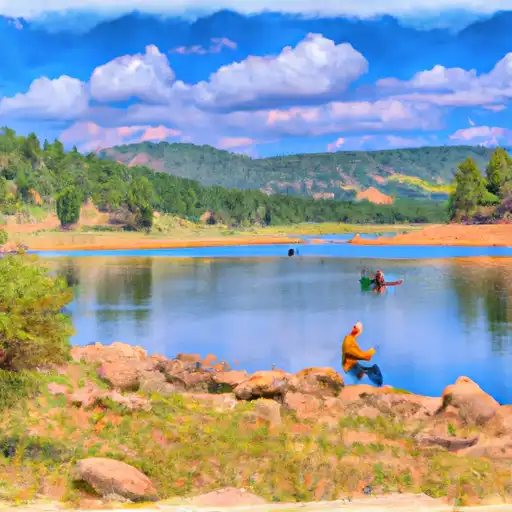
The reservoir is fed by Plateau Creek and has a storage capacity of 27,000 acre-feet. The hydrology of the reservoir is dependent on snowpack in the surrounding mountains, which provides the majority of the water supply. The reservoir also receives water from the Grand Mesa National Forest and the BLM, which manage the surrounding land. The reservoir is used for irrigation, with water being released to the Plateau Valley for agricultural purposes. Recreational activities, such as fishing and boating, are also popular at Vega Reservoir. The reservoir is managed by the Bureau of Reclamation and is an important source of water for the surrounding area.
°F
°F
mph
Wind
%
Humidity
15-Day Weather Outlook
Reservoir Details
| Lake Or Reservoir Water Surface Elevation Above Ngvd 1929, Ft 24hr Change | 0.0% |
| Percent of Normal | 100% |
| Minimum |
7,932.12 ft
2018-10-03 |
| Maximum |
7,985.83 ft
2019-06-20 |
| Average | 7,955 ft |
| Dam_Height | 130 |
| Hydraulic_Height | 136 |
| Drainage_Area | 24 |
| Year_Completed | 1959 |
| Nid_Storage | 38102 |
| Structural_Height | 162 |
| Foundations | Rock, Soil |
| Surface_Area | 1109 |
| Outlet_Gates | Slide (sluice gate) - 1, Valve - 2 |
| River_Or_Stream | PLATEAU CREEK |
| Dam_Length | 2100 |
| Hazard_Potential | High |
| Primary_Dam_Type | Earth |
| Nid_Height | 162 |
Seasonal Comparison
Precipitation, Total, In Levels
Reservoir Storage, Acre-Ft Levels
Lake Or Reservoir Water Surface Elevation Above Ngvd 1929, Ft Levels
5-Day Hourly Forecast Detail
Nearby Streamflow Levels
Dam Data Reference
Condition Assessment
SatisfactoryNo existing or potential dam safety deficiencies are recognized. Acceptable performance is expected under all loading conditions (static, hydrologic, seismic) in accordance with the minimum applicable state or federal regulatory criteria or tolerable risk guidelines.
Fair
No existing dam safety deficiencies are recognized for normal operating conditions. Rare or extreme hydrologic and/or seismic events may result in a dam safety deficiency. Risk may be in the range to take further action. Note: Rare or extreme event is defined by the regulatory agency based on their minimum
Poor A dam safety deficiency is recognized for normal operating conditions which may realistically occur. Remedial action is necessary. POOR may also be used when uncertainties exist as to critical analysis parameters which identify a potential dam safety deficiency. Investigations and studies are necessary.
Unsatisfactory
A dam safety deficiency is recognized that requires immediate or emergency remedial action for problem resolution.
Not Rated
The dam has not been inspected, is not under state or federal jurisdiction, or has been inspected but, for whatever reason, has not been rated.
Not Available
Dams for which the condition assessment is restricted to approved government users.
Hazard Potential Classification
HighDams assigned the high hazard potential classification are those where failure or mis-operation will probably cause loss of human life.
Significant
Dams assigned the significant hazard potential classification are those dams where failure or mis-operation results in no probable loss of human life but can cause economic loss, environment damage, disruption of lifeline facilities, or impact other concerns. Significant hazard potential classification dams are often located in predominantly rural or agricultural areas but could be in areas with population and significant infrastructure.
Low
Dams assigned the low hazard potential classification are those where failure or mis-operation results in no probable loss of human life and low economic and/or environmental losses. Losses are principally limited to the owner's property.
Undetermined
Dams for which a downstream hazard potential has not been designated or is not provided.
Not Available
Dams for which the downstream hazard potential is restricted to approved government users.

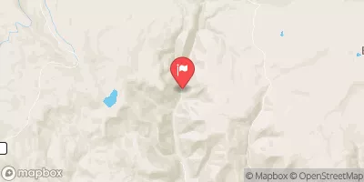
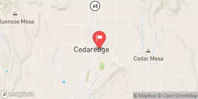
 Early Settlers - Vega State Park
 Pioneer - Vega State Park
 Oak Point - Vega State Park
 Aspen Grove - Vega State Park
 Bonham Lake City Park
 Big Creek Campground - Grand Valley RD
 Vega
Vega
 Vega Reservoir Near Collbran
 Vega Reservoir
 Atkinson Reservoir
 Bonham Reservoir
 Weir & Johnson Reservoir
 Neversweat Reservoir
 Vela
Vela