
Courtright (Pg&E) Reservoir Report
Nearby: Wishon Auxiliary No. 1 Wishon Main
Last Updated: January 2, 2026
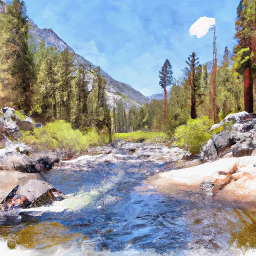
Courtright Reservoir is located in Fresno County, California, and is owned and operated by Pacific Gas and Electric Company (PG&E).
°F
°F
mph
Wind
%
Humidity
Summary
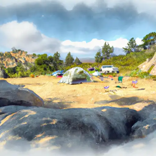
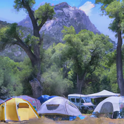
It was built in 1958 on the Middle Fork of the Kings River, a tributary of the San Joaquin River. The reservoir has a capacity of 130,000 acre-feet and serves as a water supply for the surrounding communities and agriculture. The hydrology of the area is influenced by the Sierra Nevada Mountains, with snowmelt providing a significant portion of the surface flow. The reservoir also receives water from several smaller creeks and tributaries. The snowpack providers include the Sierra Nevada snowpack, which is a crucial water source for California. The area surrounding the reservoir is primarily used for recreation, including camping, hiking, and fishing, and also supports several agricultural operations.
Reservoir Details
| Storage 24hr Change | -0.1% |
| Percent of Normal | 84% |
| Minimum |
120.0 acre-ft
2014-08-12 |
| Maximum |
122,208.0 acre-ft
2017-06-28 |
| Average | 46,845 acre-ft |
| Nid_Height | 315 |
| Hydraulic_Height | 311 |
| Primary_Dam_Type | Rockfill |
| Drainage_Area | 39.7 |
| Year_Completed | 1958 |
| Dam_Height | 315 |
| Structural_Height | 315 |
| River_Or_Stream | North Fork Kings River |
| Foundations | Rock |
| Surface_Area | 1632 |
| Hazard_Potential | High |
| Nid_Storage | 134342 |
| Dam_Length | 862 |
Seasonal Comparison
Storage Levels
Pool Elevation Levels
Top Conserv Storage Levels
Inflow Levels
Weather Forecast
Nearby Streamflow Levels
Dam Data Reference
Condition Assessment
SatisfactoryNo existing or potential dam safety deficiencies are recognized. Acceptable performance is expected under all loading conditions (static, hydrologic, seismic) in accordance with the minimum applicable state or federal regulatory criteria or tolerable risk guidelines.
Fair
No existing dam safety deficiencies are recognized for normal operating conditions. Rare or extreme hydrologic and/or seismic events may result in a dam safety deficiency. Risk may be in the range to take further action. Note: Rare or extreme event is defined by the regulatory agency based on their minimum
Poor A dam safety deficiency is recognized for normal operating conditions which may realistically occur. Remedial action is necessary. POOR may also be used when uncertainties exist as to critical analysis parameters which identify a potential dam safety deficiency. Investigations and studies are necessary.
Unsatisfactory
A dam safety deficiency is recognized that requires immediate or emergency remedial action for problem resolution.
Not Rated
The dam has not been inspected, is not under state or federal jurisdiction, or has been inspected but, for whatever reason, has not been rated.
Not Available
Dams for which the condition assessment is restricted to approved government users.
Hazard Potential Classification
HighDams assigned the high hazard potential classification are those where failure or mis-operation will probably cause loss of human life.
Significant
Dams assigned the significant hazard potential classification are those dams where failure or mis-operation results in no probable loss of human life but can cause economic loss, environment damage, disruption of lifeline facilities, or impact other concerns. Significant hazard potential classification dams are often located in predominantly rural or agricultural areas but could be in areas with population and significant infrastructure.
Low
Dams assigned the low hazard potential classification are those where failure or mis-operation results in no probable loss of human life and low economic and/or environmental losses. Losses are principally limited to the owner's property.
Undetermined
Dams for which a downstream hazard potential has not been designated or is not provided.
Not Available
Dams for which the downstream hazard potential is restricted to approved government users.
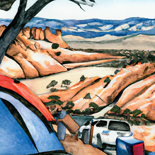
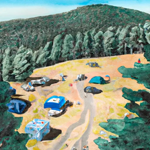
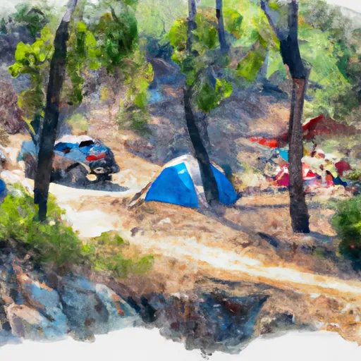
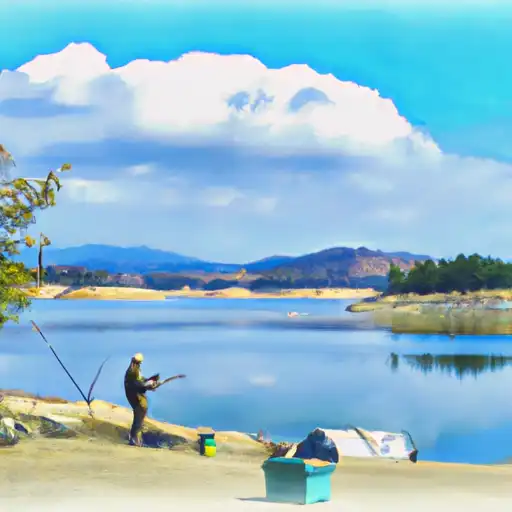
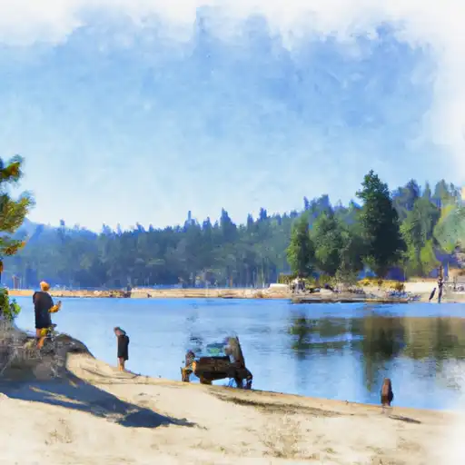
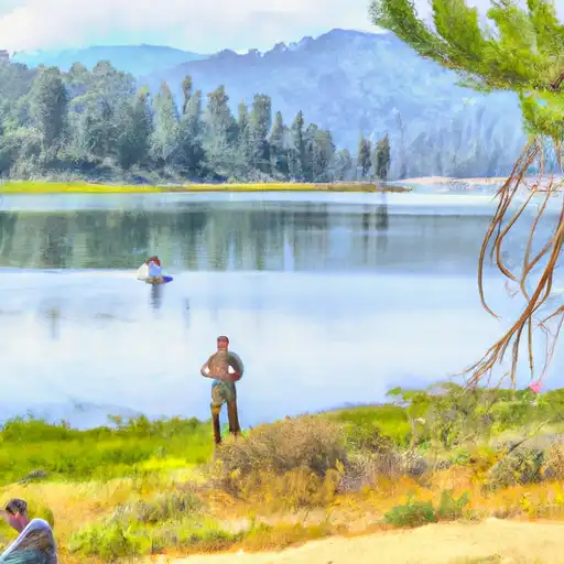
Area Campgrounds
| Location | Reservations | Toilets |
|---|---|---|
 Marmot Rock
|
||
 Trapper Springs
|
||
 Voyager Rock Camping Area
|
||
 Lily Pad
|
||
 Moore Boys Camp
|
||
 Lacy Camp
|
 Courtright
 Courtright (Pg&E)
 Wishon
 Blarney Meadows To South End Of Florence Lake
 Northwest Boundary Of Nf/Kings Canyon Np To Hot Springs Area
 Hot Springs Area To West End Of Blarney River
 Outlet Of Martha Lake (Boundary Extend 0.25 Mile On Each Side Of River) To Northwestern Boundary Of Kings Canyon National Park
 Wishon Reservoir
 Hobler Lake
 Spillway Fishing Site
 Chimney Lake
 Old Pipe Lake