Summary
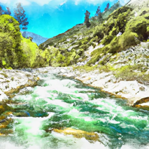
The ideal streamflow range for this run is between 500-1000 cfs, with a class rating ranging from II to IV. The entire run spans a distance of around 12 miles, with various rapids and obstacles along the way.
One notable rapid on this run is known as "The Chute," which is a class III rapid that requires precise maneuvering to navigate successfully. Another obstacle on this run is a low head dam located near the end of the run, which can be dangerous if not approached with caution.
In terms of regulations, it is important to note that a permit is required to access the run, and all boaters are required to wear a personal flotation device. Additionally, there are restrictions on camping and fires along the river, and visitors are encouraged to practice leave no trace principles to minimize their impact on the environment.
Overall, the Whitewater River run offers a thrilling and challenging experience for experienced paddlers, but it is important to exercise caution and follow all regulations to ensure a safe and enjoyable experience.
°F
°F
mph
Wind
%
Humidity
15-Day Weather Outlook
River Run Details
| Last Updated | 2026-02-07 |
| River Levels | 886 cfs (5.98 ft) |
| Percent of Normal | 132% |
| Status | |
| Class Level | iii |
| Elevation | ft |
| Streamflow Discharge | cfs |
| Gauge Height | ft |
| Reporting Streamgage | USGS 11224000 |
5-Day Hourly Forecast Detail
Nearby Streamflow Levels
Area Campgrounds
| Location | Reservations | Toilets |
|---|---|---|
 Jackass Meadow
|
||
 Jackass Meadow Campground
|
||
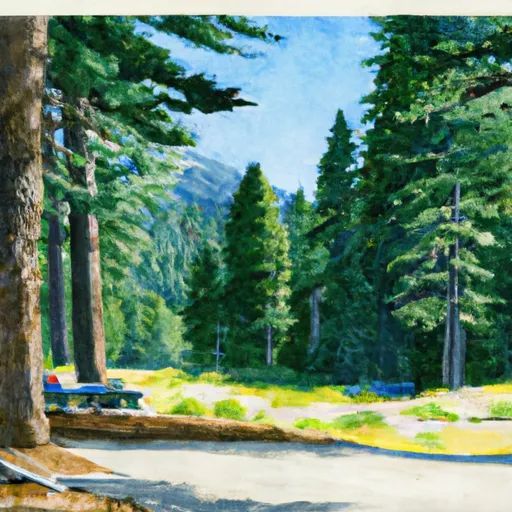 Ward Lake Campground
|
||
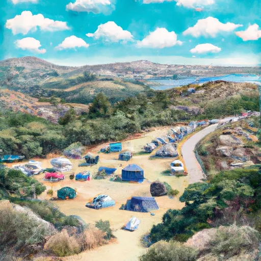 Stock Camp
|
||
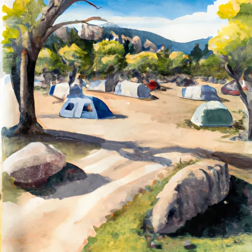 Mono Hot Springs Campground
|
||
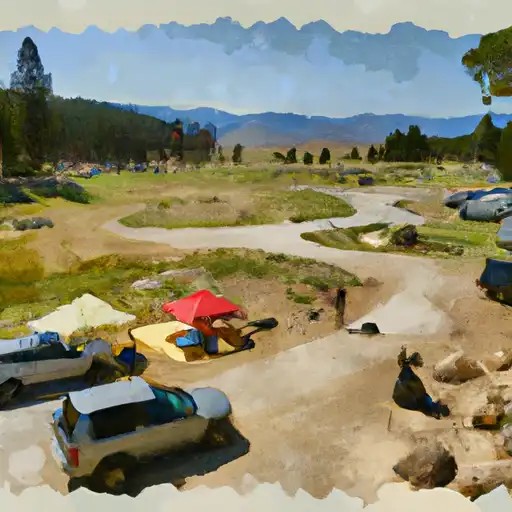 Mono Hot Springs
|


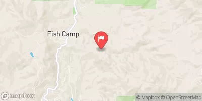
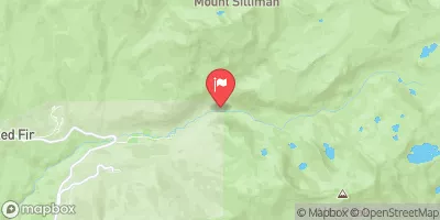
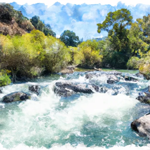 Hot Springs Area To West End Of Blarney River
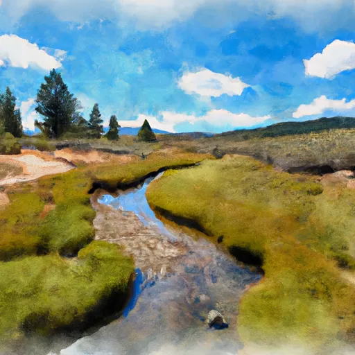 Blarney Meadows To South End Of Florence Lake
 Northwest Boundary Of Nf/Kings Canyon Np To Hot Springs Area
 Harvey Lake
 Hidden Lake
 Dutch Lake
 Big Chief Lake
 Crater Lake