
Tiger Creek Regulator Reservoir Report
Last Updated: December 23, 2025
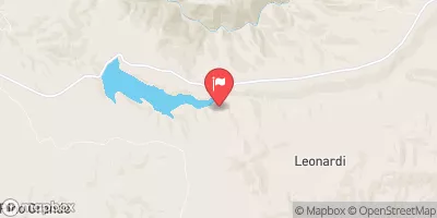
Tiger Creek Regulator, located in Pioneer, California, is a concrete dam constructed in 1931 for hydroelectric purposes.
°F
°F
mph
Wind
%
Humidity
Summary
With a height of 110 feet and a storage capacity of 533 acre-feet, this dam plays a crucial role in regulating the flow of Tiger Creek. Managed by a private owner, the dam is subject to state regulation and inspection by the Department of Water Resources and the Safety of Dams agency.
The Tiger Creek Regulator boasts a significant hazard potential due to its structural height of 115 feet and a maximum discharge capacity of 5200 cubic feet per second. Despite its age, the dam has been regularly inspected, with the last assessment conducted in September 2020. While the condition assessment is currently unavailable, the Emergency Action Plan (EAP) for the dam was last revised in December 2020, ensuring that necessary measures are in place to address any potential risks.
Overall, Tiger Creek Regulator serves as a vital infrastructure for water resource management and energy production in the region. With its moderate risk assessment rating and adherence to regulatory guidelines, the dam plays a critical role in maintaining water supply and environmental sustainability in the area.
Year Completed |
1931 |
Dam Length |
510 |
Dam Height |
110 |
River Or Stream |
Tiger Creek |
Primary Dam Type |
Concrete |
Surface Area |
13 |
Hydraulic Height |
107 |
Drainage Area |
9 |
Nid Storage |
533 |
Structural Height |
115 |
Hazard Potential |
Significant |
Nid Height |
115 |
Seasonal Comparison
Weather Forecast
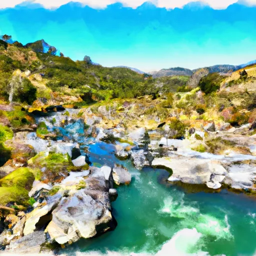
Nearby Streamflow Levels
Dam Data Reference
Condition Assessment
SatisfactoryNo existing or potential dam safety deficiencies are recognized. Acceptable performance is expected under all loading conditions (static, hydrologic, seismic) in accordance with the minimum applicable state or federal regulatory criteria or tolerable risk guidelines.
Fair
No existing dam safety deficiencies are recognized for normal operating conditions. Rare or extreme hydrologic and/or seismic events may result in a dam safety deficiency. Risk may be in the range to take further action. Note: Rare or extreme event is defined by the regulatory agency based on their minimum
Poor A dam safety deficiency is recognized for normal operating conditions which may realistically occur. Remedial action is necessary. POOR may also be used when uncertainties exist as to critical analysis parameters which identify a potential dam safety deficiency. Investigations and studies are necessary.
Unsatisfactory
A dam safety deficiency is recognized that requires immediate or emergency remedial action for problem resolution.
Not Rated
The dam has not been inspected, is not under state or federal jurisdiction, or has been inspected but, for whatever reason, has not been rated.
Not Available
Dams for which the condition assessment is restricted to approved government users.
Hazard Potential Classification
HighDams assigned the high hazard potential classification are those where failure or mis-operation will probably cause loss of human life.
Significant
Dams assigned the significant hazard potential classification are those dams where failure or mis-operation results in no probable loss of human life but can cause economic loss, environment damage, disruption of lifeline facilities, or impact other concerns. Significant hazard potential classification dams are often located in predominantly rural or agricultural areas but could be in areas with population and significant infrastructure.
Low
Dams assigned the low hazard potential classification are those where failure or mis-operation results in no probable loss of human life and low economic and/or environmental losses. Losses are principally limited to the owner's property.
Undetermined
Dams for which a downstream hazard potential has not been designated or is not provided.
Not Available
Dams for which the downstream hazard potential is restricted to approved government users.
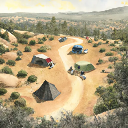
Area Campgrounds
| Location | Reservations | Toilets |
|---|---|---|
 Pipi Campground
|
||
 Pipi
Pipi
|
||
 Sly Guard Cabin
|
||
 Lumberyard Campground
|
||
 Frontier Adventure
|
||
 Wilderness Outpost Camp
|
 Tiger Creek Regulator
 Lower Bear
River Runs
-
 North Fork Mokelumne River
-
 One Mile East Of Pipi Campground To Two Miles West Of Pipi Campground
-
 Two Miles West Of Pipi Campground To Confluence With Dogtown Creek
-
 Boundary Of Mokelumne Archeological Special Interest Area To Confluence With North Fork Mokelumne
-
 Confluence With Cat Creek To One Mile East Of Pipi Campground