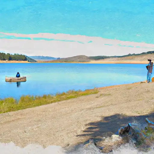
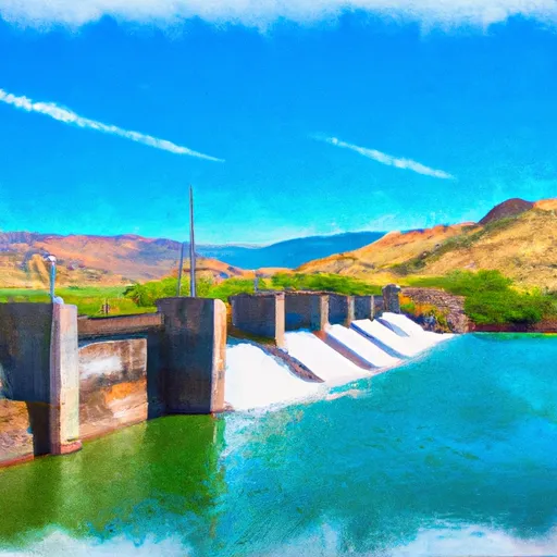
Lower Bear Reservoir
As of August 3, 2026, Lower Bear is holding 43,442 acre-ft of water — 97% of normal storage for this date. Storage data refreshed throughout the day.

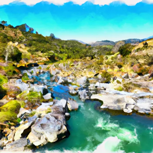
Lower Bear
Lower Bear in California is a river that flows through the Sierra Nevada Mountains and into the Sacramento River. The river has a rich history, with evidence of human habitation dating back over 10,000 years. The hydrology of the Lower Bear River is influenced by the snowmelt from the surrounding mountains, as well as by rainfall. There are several specific surface flow and snowpack providers in the area, including the Yuba River, the Feather River, and the Sierra Nevada snowpack. The Lower Bear River is used for agricultural purposes, with irrigation systems drawing water from the river, and also for recreational activities such as fishing and rafting. Due to the importance of the Lower Bear River for both human and ecological purposes, efforts have been made to protect and preserve the river and its ecosystem.
Daily levels at Lower Bear
Storage volume, pool elevation, and total release plotted from the operating agency's daily observations.
Storage
acre-ft · code 2
Pool Elevation
ft · code 1
Plan around the weather
Same NOAA / yr.no feed Snoflo's iOS app uses. Watch the precipitation column on the meteogram -- rain on the basin upstream typically lifts inflow 24-72 hours later.
Next 5 days, hour by hour
Temperature line with weather symbols on top, snow + rain accumulation as columns, humidity as a dotted line.
5-day forecast table
Every 3 hours, broken out across temperature, snow, rain, humidity, and wind. Each cell is colour-coded relative to the column min/max.
| Time | Condition | Temp (°F) | Snow (in) | Rain (in) | Humidity (%) | Wind (mps) | Wind dir |
|---|---|---|---|---|---|---|---|
| Loading detailed forecast… | |||||||
15-day temperature & precipitation
Daily temperatures, snow, and rain projected over the next two weeks.
Nearby streamflow gauges
USGS streamgauges around Lower Bear -- inflows here typically show up in storage 24-72 hours later.
| Streamgauge | Discharge | View |
|---|---|---|
| Upper Truckee R At S Upper Truckee Rd Nr Meyers Ca | 4 cfs | → |
| Upper Truckee R At Hwy 50 Above Meyers Ca | 11 cfs | → |
| West Fork Carson River At Woodfords | 15 cfs | → |
| E F Carson R Bl Markleeville C Nr Markleevilleca | 60 cfs | → |
| Pilot C Ab Stumpy Meadows Res Ca | 3 cfs | → |
| Up Truckee R A South Lake Tahoe Ca | 9 cfs | → |
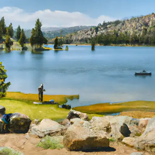
Make a day of it
Boat launches, lakeside camping, fishing access, and other reservoirs near Lower Bear.
Boat launches
See all →


Campgrounds
See all →


Fishing spots
See all →


River runs
See all →


About Lower Bear
What is the water level at Lower Bear Reservoir right now?
As of August 3, 2026, Lower Bear Reservoir is holding 43,442 acre-ft, about 97% of normal for this date. Pool elevation and the year-over-year trend are shown above.
Is Lower Bear Reservoir high or low right now?
Compare the percent-of-normal figure on this page: above 100% means storage is higher than the historical average for the date (a wet year), below 100% means lower (a dry year or drought). The daily-levels chart shows the current trend.
Where does the data for Lower Bear come from?
Daily storage, pool elevation, and release rates are sourced from USGS, USBR, and USACE monitoring stations. Weather forecast comes from NOAA / yr.no -- the same feed Snoflo's iOS app uses.
How often is the report updated?
Storage observations are updated daily by the operating agency. The 15-day weather forecast refreshes throughout the day. Snoflo caches and renders the most recent observation -- check the "as of" timestamp on the storage card.
What does the Hazard hazard rating mean?
The Corps of Engineers' hazard potential classification grades probable consequences if the dam fails: High = probable loss of human life; Significant = no probable loss of human life but possible economic loss / environmental damage; Low = no probable loss of human life, only minor economic / environmental losses. See the Dam Data Reference card below for the full definitions.
What's "% of normal"?
The current storage value compared to the historical average storage on this calendar day. 100% = right on average; values above 100% mean above-normal storage (wet year); values below mean below-normal (dry year or drought).
Can I get alerts when storage crosses a threshold?
Yes -- alerts are managed in the Snoflo iOS app. Favorite this reservoir, set a threshold, and you'll get a push the moment conditions cross.