
Yale Reservoir Report
Nearby: Yale Saddle Dam Curtis Dam
Last Updated: January 11, 2026
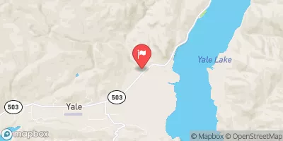
Yale dam, located in Woodland, Washington along the Lewis River, is a privately owned structure primarily used for hydroelectric purposes.
°F
°F
mph
Wind
%
Humidity
Summary
Built in 1953, this earth dam stands at a height of 323 feet and has a storage capacity of 402,000 acre-feet. The dam also serves various other purposes including fish and wildlife pond creation and recreational activities.
Managed by the Federal Energy Regulatory Commission, Yale dam is considered to have a high hazard potential and a very high risk assessment. Despite its critical importance in water resource management, the dam's condition assessment is currently not available, highlighting the need for continuous monitoring and maintenance. With a controlled spillway width of 120 feet and maximum discharge capacity of 170,000 cubic feet per second, Yale dam plays a crucial role in the local ecosystem and community.
Despite its age, the dam continues to operate efficiently, providing essential services to the surrounding area. However, with its high hazard potential, ensuring the safety and structural integrity of Yale dam remains a top priority for both the owner and regulatory agencies. As climate change continues to impact water resources, the maintenance and management of dams like Yale will become increasingly important in ensuring the resilience of our water infrastructure.
Year Completed |
1953 |
Dam Length |
1500 |
Dam Height |
323 |
River Or Stream |
Lewis River |
Primary Dam Type |
Earth |
Surface Area |
3783 |
Hydraulic Height |
309 |
Drainage Area |
592 |
Nid Storage |
402000 |
Structural Height |
323 |
Outlet Gates |
Tainter (radial) - 5 |
Hazard Potential |
High |
Nid Height |
323 |
Seasonal Comparison
Weather Forecast
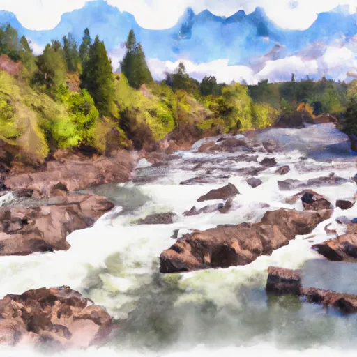
Nearby Streamflow Levels
 Canyon Creek Near Amboy
|
645cfs |
 Speelyai Creek Near Cougar
|
289cfs |
 East Fork Lewis River Near Heisson
|
1350cfs |
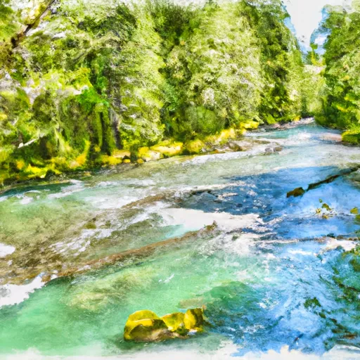
 Lewis River At Ariel
|
5260cfs |
 Muddy Creek Below Clear Creek Near Cougar
|
878cfs |
 Lewis River Above Muddy River Near Cougar
|
1330cfs |
Dam Data Reference
Condition Assessment
SatisfactoryNo existing or potential dam safety deficiencies are recognized. Acceptable performance is expected under all loading conditions (static, hydrologic, seismic) in accordance with the minimum applicable state or federal regulatory criteria or tolerable risk guidelines.
Fair
No existing dam safety deficiencies are recognized for normal operating conditions. Rare or extreme hydrologic and/or seismic events may result in a dam safety deficiency. Risk may be in the range to take further action. Note: Rare or extreme event is defined by the regulatory agency based on their minimum
Poor A dam safety deficiency is recognized for normal operating conditions which may realistically occur. Remedial action is necessary. POOR may also be used when uncertainties exist as to critical analysis parameters which identify a potential dam safety deficiency. Investigations and studies are necessary.
Unsatisfactory
A dam safety deficiency is recognized that requires immediate or emergency remedial action for problem resolution.
Not Rated
The dam has not been inspected, is not under state or federal jurisdiction, or has been inspected but, for whatever reason, has not been rated.
Not Available
Dams for which the condition assessment is restricted to approved government users.
Hazard Potential Classification
HighDams assigned the high hazard potential classification are those where failure or mis-operation will probably cause loss of human life.
Significant
Dams assigned the significant hazard potential classification are those dams where failure or mis-operation results in no probable loss of human life but can cause economic loss, environment damage, disruption of lifeline facilities, or impact other concerns. Significant hazard potential classification dams are often located in predominantly rural or agricultural areas but could be in areas with population and significant infrastructure.
Low
Dams assigned the low hazard potential classification are those where failure or mis-operation results in no probable loss of human life and low economic and/or environmental losses. Losses are principally limited to the owner's property.
Undetermined
Dams for which a downstream hazard potential has not been designated or is not provided.
Not Available
Dams for which the downstream hazard potential is restricted to approved government users.
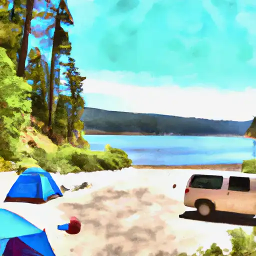
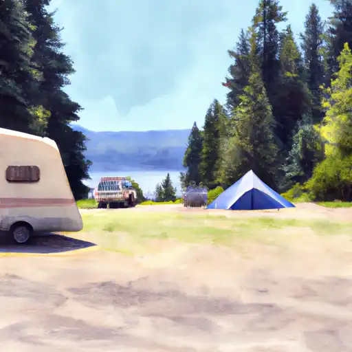
Area Campgrounds
| Location | Reservations | Toilets |
|---|---|---|
 Beaver bay
|
||
 Lake Merrill- State Forest
|
||
 2-B
2-B
|
||
 2-A
2-A
|
||
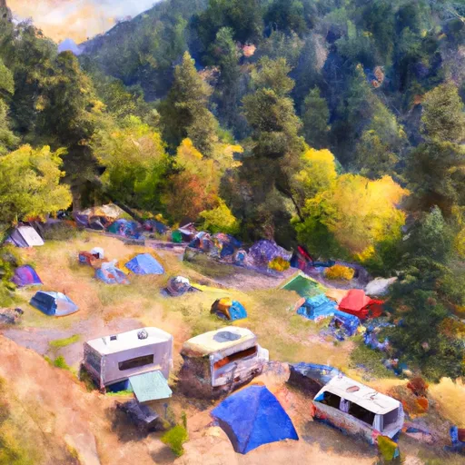 Campground: Sunset Falls Campground and Day Use
|
||
 Copper City Campsite
|
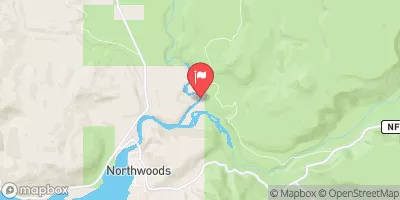
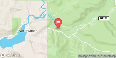
 Yale
Yale
 Frasier Road 499, Ariel
 Nw1/4 Of Sec 9, T5N, R6E To Ne1/4 Of Sec 6, T5N, R5E
 Headwaters In Sw 1/4 Of Sec 8, T4N, R6E To Gifford Pinchot Nf Boundary