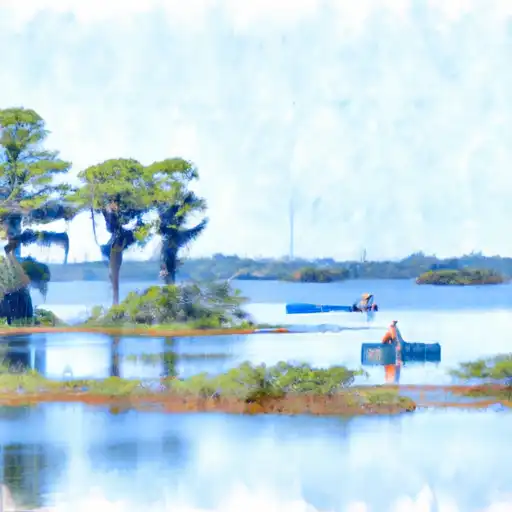
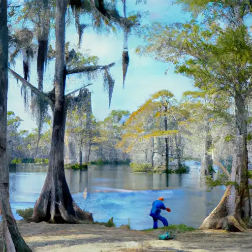
Control Strct #1 Dam

Control Strct #1
Control Strct #1, located in St. Lucie, Florida, is a key infrastructure managed by the local government for irrigation purposes. Built in 1970 by the USDA NRCS, this structure plays a crucial role in flood risk reduction and irrigation in the region. With a dam height of 27 feet and a storage capacity of 278 acre-feet, Control Strct #1 covers a surface area of 10 acres and serves a drainage area of 40 square miles.
This stone-core dam spans 64 feet in length and has a maximum discharge capacity of 2500 cubic feet per second. Despite its low hazard potential, the structure has not been rated for its condition as of yet, with the last inspection conducted in April 1994. While it meets state regulatory requirements and undergoes regular inspections, there is room for further assessment and potential risk management measures to ensure its continued functionality and safety for the community.
Control Strct #1 stands as a testament to the collaborative efforts of various agencies and designers to support water resource management in the area. As climate change continues to impact water availability and quality, structures like Control Strct #1 will play a vital role in securing water resources for irrigation and mitigating flood risks in the region. With proper maintenance and risk assessment measures in place, this infrastructure will continue to serve its purpose effectively in the years to come.
Plan around the weather
Same NOAA / yr.no feed Snoflo's iOS app uses. Watch the precipitation column on the meteogram -- rain on the basin upstream typically lifts inflow 24-72 hours later.
Next 5 days, hour by hour
Temperature line with weather symbols on top, snow + rain accumulation as columns, humidity as a dotted line.
5-day forecast table
Every 3 hours, broken out across temperature, snow, rain, humidity, and wind. Each cell is colour-coded relative to the column min/max.
| Time | Condition | Temp (°F) | Snow (in) | Rain (in) | Humidity (%) | Wind (mps) | Wind dir |
|---|---|---|---|---|---|---|---|
| Loading detailed forecast… | |||||||
15-day temperature & precipitation
Daily temperatures, snow, and rain projected over the next two weeks.
Nearby streamflow gauges
USGS streamgauges around Control Strct #1 -- inflows here typically show up in storage 24-72 hours later.
| Streamgauge | Discharge | View |
|---|---|---|
| South Canal Nr Vero Beach | 26 cfs | → |
| Main Canal At Vero Beach | 40 cfs | → |
| North Canal Near Vero Beach | 39 cfs | → |
| S-253 Weir Near Fort Drum | · | → |
| South Prong St.Sebastian River Nr Sebastian | 36 cfs | → |
| St Lucie Canal Abv S-80 Nr Stuart Fl | 186 cfs | → |


About Control Strct #1
Where does the data for Control Strct #1 come from?
Structural and regulatory data come from the U.S. Army Corps of Engineers' National Inventory of Dams (NID). Weather forecast comes from NOAA / yr.no -- the same feed Snoflo's iOS app uses.
How often is the report updated?
NID structural data refreshes annually as the Corps publishes updated assessments. The weather forecast refreshes throughout the day.
What does the Low hazard rating mean?
The Corps of Engineers' hazard potential classification grades probable consequences if the dam fails: High = probable loss of human life; Significant = no probable loss of human life but possible economic loss / environmental damage; Low = no probable loss of human life, only minor economic / environmental losses. See the Dam Data Reference card below for the full definitions.
What's "% of normal"?
The current storage value compared to the historical average storage on this calendar day. 100% = right on average; values above 100% mean above-normal storage (wet year); values below mean below-normal (dry year or drought).
Can I get alerts when storage crosses a threshold?
Yes -- alerts are managed in the Snoflo iOS app. Favorite this dam, set a threshold, and you'll get a push the moment conditions cross.
Dam data reference
Condition Assessment
- Satisfactory
- No existing or potential dam safety deficiencies are recognized. Acceptable performance is expected under all loading conditions (static, hydrologic, seismic) in accordance with the minimum applicable state or federal regulatory criteria or tolerable risk guidelines.
- Fair
- No existing dam safety deficiencies are recognized for normal operating conditions. Rare or extreme hydrologic and/or seismic events may result in a dam safety deficiency. Risk may be in the range to take further action.
- Poor
- A dam safety deficiency is recognized for normal operating conditions which may realistically occur. Remedial action is necessary. POOR may also be used when uncertainties exist as to critical analysis parameters which identify a potential dam safety deficiency.
- Unsatisfactory
- A dam safety deficiency is recognized that requires immediate or emergency remedial action for problem resolution.
- Not Rated
- The dam has not been inspected, is not under state or federal jurisdiction, or has been inspected but, for whatever reason, has not been rated.
Hazard Potential Classification
- High
- Dams assigned the high hazard potential classification are those where failure or mis-operation will probably cause loss of human life.
- Significant
- Dams assigned the significant hazard potential classification are those dams where failure or mis-operation results in no probable loss of human life but can cause economic loss, environmental damage, disruption of lifeline facilities, or impact other concerns. Significant hazard potential classification dams are often located in predominantly rural or agricultural areas but could be in areas with population and significant infrastructure.
- Low
- Dams assigned the low hazard potential classification are those where failure or mis-operation results in no probable loss of human life and low economic and/or environmental losses. Losses are principally limited to the owner's property.
- Undetermined
- Dams for which a downstream hazard potential has not been designated or is not provided.