Mcmath Millpond Dam

Mcmath Millpond Dam
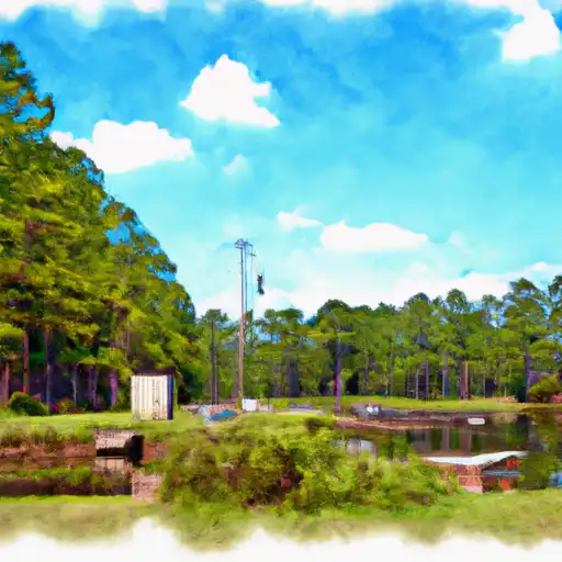
Mcmath Millpond Dam, located in Americus, Georgia, along Wolf Creek, was completed in 1967 by designer Howard Johnson. This private dam, primarily used for recreation, stands at a height of 19.4 feet with a hydraulic height of 18.5 feet. With a storage capacity of 920.5 acre-feet, the dam serves a drainage area of 6250 acres and covers a surface area of 74 acres. Although the hazard potential is rated low, the condition assessment remains unrated as of the last inspection in 1990.
Despite being a privately owned earth dam with an uncontrolled spillway, Mcmath Millpond Dam remains a significant feature in the region. With its moderate risk assessment, enthusiasts of water resources and climate in the Sumter County area may find interest in the dam's historical significance and role in providing recreational opportunities for the local community. While the dam has not been state-regulated and lacks a state permitting process, its presence along Wolf Creek adds to the overall ecosystem dynamics and water resource management in the area.
As water resource and climate enthusiasts explore the Savannah District of Georgia, Mcmath Millpond Dam stands as a testament to the engineering marvels of the past. With its unique design features and contribution to the local landscape, the dam offers a glimpse into the region's water management practices and recreational opportunities. While the dam's condition assessment remains unknown, its low hazard potential and moderate risk assessment provide a unique perspective for those interested in the intersection of water infrastructure and environmental stewardship in the Sumter County area.
Plan around the weather
Same NOAA / yr.no feed Snoflo's iOS app uses. Watch the precipitation column on the meteogram -- rain on the basin upstream typically lifts inflow 24-72 hours later.
Next 5 days, hour by hour
Temperature line with weather symbols on top, snow + rain accumulation as columns, humidity as a dotted line.
5-day forecast table
Every 3 hours, broken out across temperature, snow, rain, humidity, and wind. Each cell is colour-coded relative to the column min/max.
| Time | Condition | Temp (°F) | Snow (in) | Rain (in) | Humidity (%) | Wind (mps) | Wind dir |
|---|---|---|---|---|---|---|---|
| Loading detailed forecast… | |||||||
15-day temperature & precipitation
Daily temperatures, snow, and rain projected over the next two weeks.
Nearby streamflow gauges
USGS streamgauges around Mcmath Millpond Dam -- inflows here typically show up in storage 24-72 hours later.
| Streamgauge | Discharge | View |
|---|---|---|
| Muckalee Creek Near Americus | 29 cfs | → |
| Kinchafoonee Creek At Preston | 34 cfs | → |
| Flint River At Ga 26 | 1,560 cfs | → |
| Kinchafoonee Creek Near Dawson | 114 cfs | → |
| Muckalee Creek At Ga 195 | 100 cfs | → |
| Turkey Creek At Byromville | 12 cfs | → |


About Mcmath Millpond Dam
Where does the data for Mcmath Millpond Dam come from?
Structural and regulatory data come from the U.S. Army Corps of Engineers' National Inventory of Dams (NID). Weather forecast comes from NOAA / yr.no -- the same feed Snoflo's iOS app uses.
How often is the report updated?
NID structural data refreshes annually as the Corps publishes updated assessments. The weather forecast refreshes throughout the day.
What does the Low hazard rating mean?
The Corps of Engineers' hazard potential classification grades probable consequences if the dam fails: High = probable loss of human life; Significant = no probable loss of human life but possible economic loss / environmental damage; Low = no probable loss of human life, only minor economic / environmental losses. See the Dam Data Reference card below for the full definitions.
What's "% of normal"?
The current storage value compared to the historical average storage on this calendar day. 100% = right on average; values above 100% mean above-normal storage (wet year); values below mean below-normal (dry year or drought).
Can I get alerts when storage crosses a threshold?
Yes -- alerts are managed in the Snoflo iOS app. Favorite this dam, set a threshold, and you'll get a push the moment conditions cross.
Dam data reference
Condition Assessment
- Satisfactory
- No existing or potential dam safety deficiencies are recognized. Acceptable performance is expected under all loading conditions (static, hydrologic, seismic) in accordance with the minimum applicable state or federal regulatory criteria or tolerable risk guidelines.
- Fair
- No existing dam safety deficiencies are recognized for normal operating conditions. Rare or extreme hydrologic and/or seismic events may result in a dam safety deficiency. Risk may be in the range to take further action.
- Poor
- A dam safety deficiency is recognized for normal operating conditions which may realistically occur. Remedial action is necessary. POOR may also be used when uncertainties exist as to critical analysis parameters which identify a potential dam safety deficiency.
- Unsatisfactory
- A dam safety deficiency is recognized that requires immediate or emergency remedial action for problem resolution.
- Not Rated
- The dam has not been inspected, is not under state or federal jurisdiction, or has been inspected but, for whatever reason, has not been rated.
Hazard Potential Classification
- High
- Dams assigned the high hazard potential classification are those where failure or mis-operation will probably cause loss of human life.
- Significant
- Dams assigned the significant hazard potential classification are those dams where failure or mis-operation results in no probable loss of human life but can cause economic loss, environmental damage, disruption of lifeline facilities, or impact other concerns. Significant hazard potential classification dams are often located in predominantly rural or agricultural areas but could be in areas with population and significant infrastructure.
- Low
- Dams assigned the low hazard potential classification are those where failure or mis-operation results in no probable loss of human life and low economic and/or environmental losses. Losses are principally limited to the owner's property.
- Undetermined
- Dams for which a downstream hazard potential has not been designated or is not provided.