Weems Pond Reservoir Report
Nearby: Victory Pond St. Regis Pond Dam
Last Updated: February 13, 2026
Weems Pond in Cusseta, Georgia, is a federally-owned recreation area managed by the US Army.
Summary
The dam, completed in 1933, stands at a height of 10 feet and spans 2500 feet across Oswichee Creek, creating a picturesque surface area of 69 acres. With a normal storage capacity of 285 acre-feet and a maximum storage of 473 acre-feet, Weems Pond provides opportunities for water-based recreation while also serving as a low-hazard structure in terms of emergency risk potential.
Despite its age, Weems Pond has a moderate risk assessment rating of 3, indicating a level of risk management measures in place. The dam's spillway type is uncontrolled with a width of 53 feet, and it is not regulated or inspected by the state. The primary purpose of Weems Pond is for recreation, and it remains a popular destination for outdoor enthusiasts in the Chattahoochee County area. Overall, Weems Pond offers a tranquil setting for visitors to enjoy nature while also serving as a vital water resource in the region.
°F
°F
mph
Wind
%
Humidity
15-Day Weather Outlook
Year Completed |
1933 |
Dam Length |
2500 |
Dam Height |
10 |
River Or Stream |
Oswichee Creek |
Primary Dam Type |
Earth |
Surface Area |
69 |
Hydraulic Height |
10 |
Drainage Area |
5 |
Nid Storage |
473 |
Structural Height |
10 |
Outlet Gates |
None |
Hazard Potential |
Low |
Foundations |
Unlisted/Unknown |
Nid Height |
10 |
Seasonal Comparison
5-Day Hourly Forecast Detail
Nearby Streamflow Levels
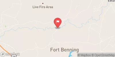
 Upatoi Creek Near Columbus
|
174cfs |
 Uchee Creek Near Fort Mitchell
|
74cfs |
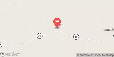
 Hannahatchee Creek At Union
|
48cfs |
 Chattahoochee River At Us 280
|
1990cfs |
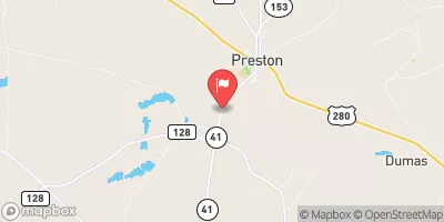
 Kinchafoonee Creek At Preston
|
110cfs |
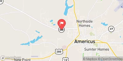
 Muckalee Creek Near Americus
|
102cfs |
Dam Data Reference
Condition Assessment
SatisfactoryNo existing or potential dam safety deficiencies are recognized. Acceptable performance is expected under all loading conditions (static, hydrologic, seismic) in accordance with the minimum applicable state or federal regulatory criteria or tolerable risk guidelines.
Fair
No existing dam safety deficiencies are recognized for normal operating conditions. Rare or extreme hydrologic and/or seismic events may result in a dam safety deficiency. Risk may be in the range to take further action. Note: Rare or extreme event is defined by the regulatory agency based on their minimum
Poor A dam safety deficiency is recognized for normal operating conditions which may realistically occur. Remedial action is necessary. POOR may also be used when uncertainties exist as to critical analysis parameters which identify a potential dam safety deficiency. Investigations and studies are necessary.
Unsatisfactory
A dam safety deficiency is recognized that requires immediate or emergency remedial action for problem resolution.
Not Rated
The dam has not been inspected, is not under state or federal jurisdiction, or has been inspected but, for whatever reason, has not been rated.
Not Available
Dams for which the condition assessment is restricted to approved government users.
Hazard Potential Classification
HighDams assigned the high hazard potential classification are those where failure or mis-operation will probably cause loss of human life.
Significant
Dams assigned the significant hazard potential classification are those dams where failure or mis-operation results in no probable loss of human life but can cause economic loss, environment damage, disruption of lifeline facilities, or impact other concerns. Significant hazard potential classification dams are often located in predominantly rural or agricultural areas but could be in areas with population and significant infrastructure.
Low
Dams assigned the low hazard potential classification are those where failure or mis-operation results in no probable loss of human life and low economic and/or environmental losses. Losses are principally limited to the owner's property.
Undetermined
Dams for which a downstream hazard potential has not been designated or is not provided.
Not Available
Dams for which the downstream hazard potential is restricted to approved government users.

 Weems Pond