Mcarthur Farms Irrigation Pond Dam Dam

Mcarthur Farms Irrigation Pond Dam
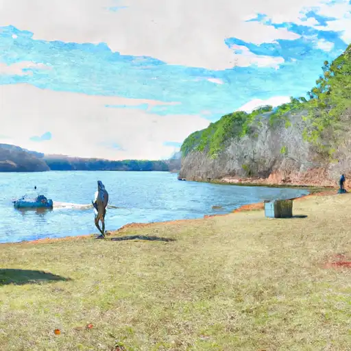
Mcarthur Farms Irrigation Pond Dam in Georgia, built in 1938, serves as a vital water resource for agricultural purposes in Montgomery County. This private earth dam, with a height of 8 feet and a length of 720 feet, provides irrigation water for Mcarthur Farms and has a storage capacity of 85 acre-feet. Situated on Buckhorn Creek, the dam's low hazard potential and moderate risk assessment make it a key asset for local farmers, despite its uncontrolled spillway and lack of state regulation.
Although the dam is not state-regulated, its strategic location and function contribute significantly to the region's water management efforts. The dam's condition remains unrated, with no recent inspection data available, highlighting the need for ongoing monitoring and maintenance to ensure its structural integrity and operational efficiency. With a primary purpose of irrigation, Mcarthur Farms Irrigation Pond Dam plays a crucial role in supporting agricultural activities in the area and underscores the importance of sustainable water resource management in the face of changing climate patterns.
As a part of the Savannah District, the dam's association with the US Army Corps of Engineers (USACE) is minimal, with no federal agency ownership, funding, or oversight. Despite these limitations, the dam's historical significance and continued use for irrigation highlight the intersection of water resources, agriculture, and climate resilience in the region. With proper management and investment, Mcarthur Farms Irrigation Pond Dam can continue to support local farmers and contribute to the overall water security and sustainability of Montgomery County and beyond.
Plan around the weather
Same NOAA / yr.no feed Snoflo's iOS app uses. Watch the precipitation column on the meteogram -- rain on the basin upstream typically lifts inflow 24-72 hours later.
Next 5 days, hour by hour
Temperature line with weather symbols on top, snow + rain accumulation as columns, humidity as a dotted line.
5-day forecast table
Every 3 hours, broken out across temperature, snow, rain, humidity, and wind. Each cell is colour-coded relative to the column min/max.
| Time | Condition | Temp (°F) | Snow (in) | Rain (in) | Humidity (%) | Wind (mps) | Wind dir |
|---|---|---|---|---|---|---|---|
| Loading detailed forecast… | |||||||
15-day temperature & precipitation
Daily temperatures, snow, and rain projected over the next two weeks.
Nearby streamflow gauges
USGS streamgauges around Mcarthur Farms Irrigation Pond Dam -- inflows here typically show up in storage 24-72 hours later.
| Streamgauge | Discharge | View |
|---|---|---|
| Oconee River Near Mount Vernon | 1,460 cfs | → |
| Altamaha River Near Baxley | 5,320 cfs | → |
| Ohoopee River Near Reidsville | 138 cfs | → |
| Ocmulgee River At Lumber City | 3,240 cfs | → |
| Turnpike Creek Near Mcrae | 0 cfs | → |
| Oconee River At Dublin | 1,180 cfs | → |


About Mcarthur Farms Irrigation Pond Dam
Where does the data for Mcarthur Farms Irrigation Pond Dam come from?
Structural and regulatory data come from the U.S. Army Corps of Engineers' National Inventory of Dams (NID). Weather forecast comes from NOAA / yr.no -- the same feed Snoflo's iOS app uses.
How often is the report updated?
NID structural data refreshes annually as the Corps publishes updated assessments. The weather forecast refreshes throughout the day.
What does the Low hazard rating mean?
The Corps of Engineers' hazard potential classification grades probable consequences if the dam fails: High = probable loss of human life; Significant = no probable loss of human life but possible economic loss / environmental damage; Low = no probable loss of human life, only minor economic / environmental losses. See the Dam Data Reference card below for the full definitions.
What's "% of normal"?
The current storage value compared to the historical average storage on this calendar day. 100% = right on average; values above 100% mean above-normal storage (wet year); values below mean below-normal (dry year or drought).
Can I get alerts when storage crosses a threshold?
Yes -- alerts are managed in the Snoflo iOS app. Favorite this dam, set a threshold, and you'll get a push the moment conditions cross.
Dam data reference
Condition Assessment
- Satisfactory
- No existing or potential dam safety deficiencies are recognized. Acceptable performance is expected under all loading conditions (static, hydrologic, seismic) in accordance with the minimum applicable state or federal regulatory criteria or tolerable risk guidelines.
- Fair
- No existing dam safety deficiencies are recognized for normal operating conditions. Rare or extreme hydrologic and/or seismic events may result in a dam safety deficiency. Risk may be in the range to take further action.
- Poor
- A dam safety deficiency is recognized for normal operating conditions which may realistically occur. Remedial action is necessary. POOR may also be used when uncertainties exist as to critical analysis parameters which identify a potential dam safety deficiency.
- Unsatisfactory
- A dam safety deficiency is recognized that requires immediate or emergency remedial action for problem resolution.
- Not Rated
- The dam has not been inspected, is not under state or federal jurisdiction, or has been inspected but, for whatever reason, has not been rated.
Hazard Potential Classification
- High
- Dams assigned the high hazard potential classification are those where failure or mis-operation will probably cause loss of human life.
- Significant
- Dams assigned the significant hazard potential classification are those dams where failure or mis-operation results in no probable loss of human life but can cause economic loss, environmental damage, disruption of lifeline facilities, or impact other concerns. Significant hazard potential classification dams are often located in predominantly rural or agricultural areas but could be in areas with population and significant infrastructure.
- Low
- Dams assigned the low hazard potential classification are those where failure or mis-operation results in no probable loss of human life and low economic and/or environmental losses. Losses are principally limited to the owner's property.
- Undetermined
- Dams for which a downstream hazard potential has not been designated or is not provided.