
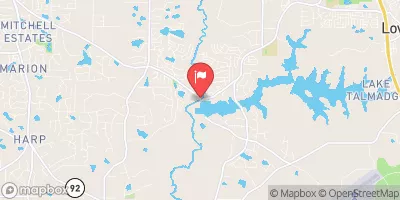
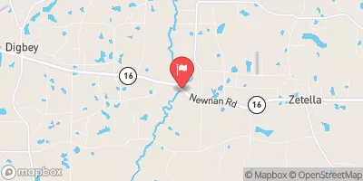
Upper Towaliga Reservoir Dam Reservoir Report
Nearby: Horton Lake Dam Regents Lake Dam
Last Updated: December 14, 2025
The Upper Towaliga Reservoir Dam, located in Spalding, Georgia, stands as a vital structure managed by the local government for recreation purposes.
°F
°F
mph
Wind
%
Humidity
Summary
Designed by HENSLEY-SCHMIDT, this earth dam with a height of 45 feet holds a storage capacity of 25,700 acre-feet and covers a surface area of 713 acres along the Towaliga River. The dam, regulated by the GA-SAFE DAMS PROGRAM, is inspected regularly to ensure its satisfactory condition and high hazard potential.
With a moderate risk assessment rating of 3, the Upper Towaliga Reservoir Dam is equipped with uncontrolled spillways and outlet gates. Despite its safety measures, the dam is closely monitored for any potential risks, with the last inspection conducted in January 2016. The dam's emergency action plan (EAP) status and inundation maps are not currently available, emphasizing the importance of ongoing risk management and preparedness for any unforeseen events.
As part of the Mobile District under the US Army Corps of Engineers, the Upper Towaliga Reservoir Dam plays a crucial role in water resource management in the region. Enthusiasts interested in water resources and climate change should closely follow the updates and maintenance of this dam to ensure its continued safety and sustainability for both recreational and environmental purposes in the future.
Dam Height |
45 |
River Or Stream |
TOWALIGA RIVER |
Primary Dam Type |
Earth |
Surface Area |
713 |
Nid Storage |
25700 |
Outlet Gates |
Uncontrolled |
Hazard Potential |
High |
Foundations |
Unlisted/Unknown |
Nid Height |
45 |
Seasonal Comparison
Weather Forecast
Nearby Streamflow Levels
 Shoal Creek At Shoal Creek Rd
|
15cfs |
 Pates Creek At Buster Lewis Rd Near Flippen
|
23cfs |
 Flint River Near Lovejoy
|
53cfs |
 Flint River Near Griffin
|
89cfs |
 Line Creek Near Senoia
|
31cfs |
 Honey Creek At Ga 212
|
13cfs |
Dam Data Reference
Condition Assessment
SatisfactoryNo existing or potential dam safety deficiencies are recognized. Acceptable performance is expected under all loading conditions (static, hydrologic, seismic) in accordance with the minimum applicable state or federal regulatory criteria or tolerable risk guidelines.
Fair
No existing dam safety deficiencies are recognized for normal operating conditions. Rare or extreme hydrologic and/or seismic events may result in a dam safety deficiency. Risk may be in the range to take further action. Note: Rare or extreme event is defined by the regulatory agency based on their minimum
Poor A dam safety deficiency is recognized for normal operating conditions which may realistically occur. Remedial action is necessary. POOR may also be used when uncertainties exist as to critical analysis parameters which identify a potential dam safety deficiency. Investigations and studies are necessary.
Unsatisfactory
A dam safety deficiency is recognized that requires immediate or emergency remedial action for problem resolution.
Not Rated
The dam has not been inspected, is not under state or federal jurisdiction, or has been inspected but, for whatever reason, has not been rated.
Not Available
Dams for which the condition assessment is restricted to approved government users.
Hazard Potential Classification
HighDams assigned the high hazard potential classification are those where failure or mis-operation will probably cause loss of human life.
Significant
Dams assigned the significant hazard potential classification are those dams where failure or mis-operation results in no probable loss of human life but can cause economic loss, environment damage, disruption of lifeline facilities, or impact other concerns. Significant hazard potential classification dams are often located in predominantly rural or agricultural areas but could be in areas with population and significant infrastructure.
Low
Dams assigned the low hazard potential classification are those where failure or mis-operation results in no probable loss of human life and low economic and/or environmental losses. Losses are principally limited to the owner's property.
Undetermined
Dams for which a downstream hazard potential has not been designated or is not provided.
Not Available
Dams for which the downstream hazard potential is restricted to approved government users.
 Upper Towaliga Reservoir Dam