
L. H. Cook Dam Reservoir Report
Last Updated: December 13, 2025
The L.
°F
°F
mph
Wind
%
Humidity
Summary
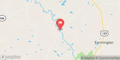
H. Cook Dam, located in Greene, Georgia, was completed in 1965 with the primary purpose of serving as a fish and wildlife pond. Owned privately, the dam stands at a height of 26 feet and has a length of 500 feet, with a storage capacity of 60 acre-feet. The dam is classified as an Earth type dam and has a spillway width of 20 feet, designed for an uncontrolled release in case of excess water.
Managed by the Natural Resources Conservation Service, the L. H. Cook Dam is considered to have a low hazard potential with a moderate risk assessment rating. Despite lacking recent condition assessments and emergency action plans, the dam continues to provide essential functions for fire protection, recreation, and stock and small fish pond purposes. Water resource and climate enthusiasts may find interest in the dam's historical significance and its contribution to the local ecosystem along the Tr- L River S Fork in Augusta, Georgia.
Year Completed |
1965 |
Dam Length |
500 |
Dam Height |
26 |
River Or Stream |
Tr- L River S Fork |
Primary Dam Type |
Earth |
Nid Storage |
60 |
Hazard Potential |
Low |
Nid Height |
26 |
Seasonal Comparison
Weather Forecast
Nearby Streamflow Levels
 Kettle Creek Near Washington
|
6cfs |
 Little River Near Washington
|
46cfs |
 Oconee River Near Penfield
|
527cfs |
 Little River Near Eatonton
|
85cfs |
 Apalachee River Near Bostwick
|
111cfs |
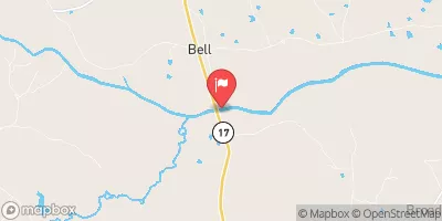 Broad River Near Bell
|
672cfs |
Dam Data Reference
Condition Assessment
SatisfactoryNo existing or potential dam safety deficiencies are recognized. Acceptable performance is expected under all loading conditions (static, hydrologic, seismic) in accordance with the minimum applicable state or federal regulatory criteria or tolerable risk guidelines.
Fair
No existing dam safety deficiencies are recognized for normal operating conditions. Rare or extreme hydrologic and/or seismic events may result in a dam safety deficiency. Risk may be in the range to take further action. Note: Rare or extreme event is defined by the regulatory agency based on their minimum
Poor A dam safety deficiency is recognized for normal operating conditions which may realistically occur. Remedial action is necessary. POOR may also be used when uncertainties exist as to critical analysis parameters which identify a potential dam safety deficiency. Investigations and studies are necessary.
Unsatisfactory
A dam safety deficiency is recognized that requires immediate or emergency remedial action for problem resolution.
Not Rated
The dam has not been inspected, is not under state or federal jurisdiction, or has been inspected but, for whatever reason, has not been rated.
Not Available
Dams for which the condition assessment is restricted to approved government users.
Hazard Potential Classification
HighDams assigned the high hazard potential classification are those where failure or mis-operation will probably cause loss of human life.
Significant
Dams assigned the significant hazard potential classification are those dams where failure or mis-operation results in no probable loss of human life but can cause economic loss, environment damage, disruption of lifeline facilities, or impact other concerns. Significant hazard potential classification dams are often located in predominantly rural or agricultural areas but could be in areas with population and significant infrastructure.
Low
Dams assigned the low hazard potential classification are those where failure or mis-operation results in no probable loss of human life and low economic and/or environmental losses. Losses are principally limited to the owner's property.
Undetermined
Dams for which a downstream hazard potential has not been designated or is not provided.
Not Available
Dams for which the downstream hazard potential is restricted to approved government users.
Area Campgrounds
| Location | Reservations | Toilets |
|---|---|---|
 RV/Tent Camping
|
||
 Pioneer Camping Area
|
||
 A.H. Stephens State Park
|
||
 Equestrian Camping
|
 L. H. Cook Dam