Tom Bogardus Dam

Tom Bogardus
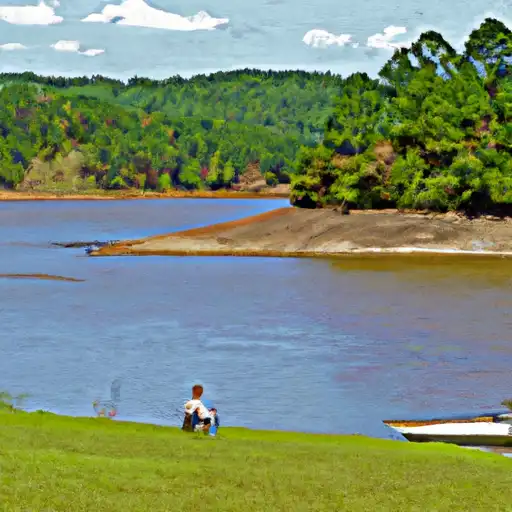
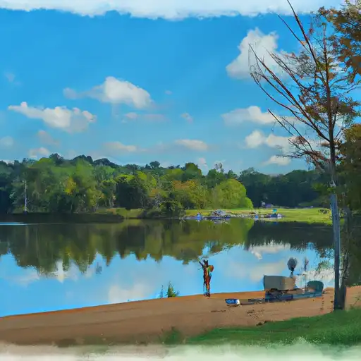
Tom Bogardus, located in Quitman, Georgia, is a private earth dam constructed in 1974 by the Natural Resources Conservation Service for the primary purpose of creating a Fish and Wildlife Pond. Spanning 450 feet in length and standing at 27 feet tall, the dam has a storage capacity of 78 acre-feet, with a normal storage level of 51 acre-feet. Situated along the Chattahoochee River, this low hazard dam serves multiple purposes including fire protection, stock, recreation, and small fish pond.
Despite its low hazard potential, Tom Bogardus plays a crucial role in managing water resources in the region by providing storage and regulating discharge with its uncontrolled spillway. The dam's drainage area is 0.11 square miles, with a maximum discharge capacity of 134 cubic feet per second. While the condition assessment is currently not available, the risk assessment is moderate, highlighting the importance of ongoing monitoring and maintenance to ensure the safety and functionality of this key water infrastructure.
For water resource and climate enthusiasts, Tom Bogardus represents a valuable ecosystem asset within Congressional District 02, Georgia. With its focus on fish and wildlife habitat enhancement, the dam stands as a testament to the importance of sustainable water management practices. As a privately owned structure supported by federal funding and oversight, Tom Bogardus serves as a model for collaborative efforts in balancing the needs of water users with environmental conservation goals in the face of a changing climate.
Plan around the weather
Same NOAA / yr.no feed Snoflo's iOS app uses. Watch the precipitation column on the meteogram -- rain on the basin upstream typically lifts inflow 24-72 hours later.
Next 5 days, hour by hour
Temperature line with weather symbols on top, snow + rain accumulation as columns, humidity as a dotted line.
5-day forecast table
Every 3 hours, broken out across temperature, snow, rain, humidity, and wind. Each cell is colour-coded relative to the column min/max.
| Time | Condition | Temp (°F) | Snow (in) | Rain (in) | Humidity (%) | Wind (mps) | Wind dir |
|---|---|---|---|---|---|---|---|
| Loading detailed forecast… | |||||||
15-day temperature & precipitation
Daily temperatures, snow, and rain projected over the next two weeks.
Nearby streamflow gauges
USGS streamgauges around Tom Bogardus -- inflows here typically show up in storage 24-72 hours later.
| Streamgauge | Discharge | View |
|---|---|---|
| Hannahatchee Creek At Union | 29 cfs | → |
| Uchee Creek Near Fort Mitchell | 74 cfs | → |
| Pachitla Creek Near Edison | 237 cfs | → |
| Kinchafoonee Creek At Preston | 64 cfs | → |
| Ichawaynochaway Creek At Ga 37 | 236 cfs | → |
| Chattahoochee River At Us 280 | 1,990 cfs | → |


About Tom Bogardus
Where does the data for Tom Bogardus come from?
Structural and regulatory data come from the U.S. Army Corps of Engineers' National Inventory of Dams (NID). Weather forecast comes from NOAA / yr.no -- the same feed Snoflo's iOS app uses.
How often is the report updated?
NID structural data refreshes annually as the Corps publishes updated assessments. The weather forecast refreshes throughout the day.
What does the Low hazard rating mean?
The Corps of Engineers' hazard potential classification grades probable consequences if the dam fails: High = probable loss of human life; Significant = no probable loss of human life but possible economic loss / environmental damage; Low = no probable loss of human life, only minor economic / environmental losses. See the Dam Data Reference card below for the full definitions.
What's "% of normal"?
The current storage value compared to the historical average storage on this calendar day. 100% = right on average; values above 100% mean above-normal storage (wet year); values below mean below-normal (dry year or drought).
Can I get alerts when storage crosses a threshold?
Yes -- alerts are managed in the Snoflo iOS app. Favorite this dam, set a threshold, and you'll get a push the moment conditions cross.
Dam data reference
Condition Assessment
- Satisfactory
- No existing or potential dam safety deficiencies are recognized. Acceptable performance is expected under all loading conditions (static, hydrologic, seismic) in accordance with the minimum applicable state or federal regulatory criteria or tolerable risk guidelines.
- Fair
- No existing dam safety deficiencies are recognized for normal operating conditions. Rare or extreme hydrologic and/or seismic events may result in a dam safety deficiency. Risk may be in the range to take further action.
- Poor
- A dam safety deficiency is recognized for normal operating conditions which may realistically occur. Remedial action is necessary. POOR may also be used when uncertainties exist as to critical analysis parameters which identify a potential dam safety deficiency.
- Unsatisfactory
- A dam safety deficiency is recognized that requires immediate or emergency remedial action for problem resolution.
- Not Rated
- The dam has not been inspected, is not under state or federal jurisdiction, or has been inspected but, for whatever reason, has not been rated.
Hazard Potential Classification
- High
- Dams assigned the high hazard potential classification are those where failure or mis-operation will probably cause loss of human life.
- Significant
- Dams assigned the significant hazard potential classification are those dams where failure or mis-operation results in no probable loss of human life but can cause economic loss, environmental damage, disruption of lifeline facilities, or impact other concerns. Significant hazard potential classification dams are often located in predominantly rural or agricultural areas but could be in areas with population and significant infrastructure.
- Low
- Dams assigned the low hazard potential classification are those where failure or mis-operation results in no probable loss of human life and low economic and/or environmental losses. Losses are principally limited to the owner's property.
- Undetermined
- Dams for which a downstream hazard potential has not been designated or is not provided.