Coeur D Alene Lake At Coeur D Alene Id Reservoir
As of July 25, 2026, Coeur D Alene Lake At Coeur D Alene Id is holding 28 ft of water — 98% of normal storage for this date. Storage data refreshed throughout the day.

Coeur D Alene Lake At Coeur D Alene Id
Coeur d'Alene Lake, located in Idaho, has a rich history dating back to the Coeur d'Alene tribe, who named the lake "Schitsu'umsh" meaning "place of the sharp-spirited people." The lake is fed by the Coeur d'Alene River and is a major hydrology source for the region. The surface flow of the lake is regulated by the Post Falls Dam. The lake's snowpack is a crucial source of water for the surrounding areas, including agricultural and recreational use. The lake is known for its clean water, making it a popular destination for boating, fishing, and swimming. The Coeur d'Alene Resort Golf Course, located on the lake's shore, is also a popular attraction. Today, the lake remains an essential source of water and a beloved recreational destination for locals and tourists alike.
Daily levels at Coeur D Alene Lake At Coeur D Alene Id
Storage volume, pool elevation, and total release plotted from the operating agency's daily observations.
Gage height, ft
ft · code 00065
Plan around the weather
Same NOAA / yr.no feed Snoflo's iOS app uses. Watch the precipitation column on the meteogram -- rain on the basin upstream typically lifts inflow 24-72 hours later.
Next 5 days, hour by hour
Temperature line with weather symbols on top, snow + rain accumulation as columns, humidity as a dotted line.
5-day forecast table
Every 3 hours, broken out across temperature, snow, rain, humidity, and wind. Each cell is colour-coded relative to the column min/max.
| Time | Condition | Temp (°F) | Snow (in) | Rain (in) | Humidity (%) | Wind (mps) | Wind dir |
|---|---|---|---|---|---|---|---|
| Loading detailed forecast… | |||||||
15-day temperature & precipitation
Daily temperatures, snow, and rain projected over the next two weeks.
Nearby streamflow gauges
USGS streamgauges around Coeur D Alene Lake At Coeur D Alene Id -- inflows here typically show up in storage 24-72 hours later.
| Streamgauge | Discharge | View |
|---|---|---|
| Spokane River Blw Blackwell Nr Coeur D Alene Id | 1,420 cfs | → |
| Spokane River Nr Post Falls Id | 700 cfs | → |
| Coeur D Alene River Nr Harrison Id | 759 cfs | → |
| St Joe River Nr Chatcolet Id | 802 cfs | → |
| St Joe River At Ramsdell Nr St Maries Id | 1,220 cfs | → |
| Coeur D Alene River Nr Cataldo Id | 437 cfs | → |
Make a day of it
Boat launches, lakeside camping, fishing access, and other reservoirs near Coeur D Alene Lake At Coeur D Alene Id.
Boat launches
See all →


Campgrounds
See all →


Fishing spots
See all →
River runs
See all →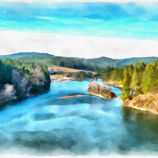


More reservoirs
See all →About Coeur D Alene Lake At Coeur D Alene Id
What is the water level at Coeur D Alene Lake At Coeur D Alene Id Reservoir right now?
As of July 25, 2026, Coeur D Alene Lake At Coeur D Alene Id Reservoir is holding 28 ft, about 98% of normal for this date. Pool elevation and the year-over-year trend are shown above.
Is Coeur D Alene Lake At Coeur D Alene Id Reservoir high or low right now?
Compare the percent-of-normal figure on this page: above 100% means storage is higher than the historical average for the date (a wet year), below 100% means lower (a dry year or drought). The daily-levels chart shows the current trend.
Where does the data for Coeur D Alene Lake At Coeur D Alene Id come from?
Daily storage, pool elevation, and release rates are sourced from USGS, USBR, and USACE monitoring stations. Weather forecast comes from NOAA / yr.no -- the same feed Snoflo's iOS app uses.
How often is the report updated?
Storage observations are updated daily by the operating agency. The 15-day weather forecast refreshes throughout the day. Snoflo caches and renders the most recent observation -- check the "as of" timestamp on the storage card.
What does the Hazard hazard rating mean?
The Corps of Engineers' hazard potential classification grades probable consequences if the dam fails: High = probable loss of human life; Significant = no probable loss of human life but possible economic loss / environmental damage; Low = no probable loss of human life, only minor economic / environmental losses. See the Dam Data Reference card below for the full definitions.
What's "% of normal"?
The current storage value compared to the historical average storage on this calendar day. 100% = right on average; values above 100% mean above-normal storage (wet year); values below mean below-normal (dry year or drought).
Can I get alerts when storage crosses a threshold?
Yes -- alerts are managed in the Snoflo iOS app. Favorite this reservoir, set a threshold, and you'll get a push the moment conditions cross.