Little Wood Res Nr Carey Id Reservoir
As of July 17, 2026, Little Wood Res Nr Carey Id is holding 13,380 ac-ft of water — 53% of normal storage for this date. Storage data refreshed throughout the day.

Little Wood Res Nr Carey Id
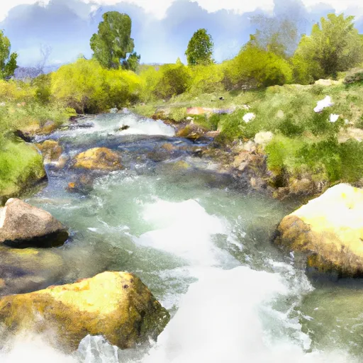
Little Wood Reservoir is located near Carey, Idaho and was completed in 1937 as an irrigation reservoir. It has a capacity of 38,000 acre-feet of water and is fed by the Little Wood River. The reservoir supplies water for irrigation in the surrounding agricultural area and also provides opportunities for recreation such as boating, fishing, and camping. The hydrology of the reservoir is influenced by snowpack in the surrounding mountains, which provides a significant portion of the water supply. Specific surface flow providers include the Little Wood River, which flows into the reservoir, and the Big Wood River, which is fed by the reservoir. The area is also home to a variety of wildlife, including waterfowl and fish species such as rainbow trout and smallmouth bass.
Daily levels at Little Wood Res Nr Carey Id
Storage volume, pool elevation, and total release plotted from the operating agency's daily observations.
Reservoir storage, acre-ft
ac-ft · code 00054
Plan around the weather
Same NOAA / yr.no feed Snoflo's iOS app uses. Watch the precipitation column on the meteogram -- rain on the basin upstream typically lifts inflow 24-72 hours later.
Next 5 days, hour by hour
Temperature line with weather symbols on top, snow + rain accumulation as columns, humidity as a dotted line.
5-day forecast table
Every 3 hours, broken out across temperature, snow, rain, humidity, and wind. Each cell is colour-coded relative to the column min/max.
| Time | Condition | Temp (°F) | Snow (in) | Rain (in) | Humidity (%) | Wind (mps) | Wind dir |
|---|---|---|---|---|---|---|---|
| Loading detailed forecast… | |||||||
15-day temperature & precipitation
Daily temperatures, snow, and rain projected over the next two weeks.
Nearby streamflow gauges
USGS streamgauges around Little Wood Res Nr Carey Id -- inflows here typically show up in storage 24-72 hours later.
| Streamgauge | Discharge | View |
|---|---|---|
| Little Wood River Nr Carey Id | 186 cfs | → |
| Little Wood River Ab High Five Creek Nr Carey Id | 45 cfs | → |
| Silver Creek At Sportsman Access Nr Picabo Id | 102 cfs | → |
| Big Wood R At S Broadford Bridge Nr Bellevue | 201 cfs | → |
| Big Wood River At Hailey Id Total Flow | 274 cfs | → |
| Big Wood River At Stanton Crossing Nr Bellevue Id | 42 cfs | → |


About Little Wood Res Nr Carey Id
Where does the data for Little Wood Res Nr Carey Id come from?
Daily storage, pool elevation, and release rates are sourced from USGS, USBR, and USACE monitoring stations. Weather forecast comes from NOAA / yr.no -- the same feed Snoflo's iOS app uses.
How often is the report updated?
Storage observations are updated daily by the operating agency. The 15-day weather forecast refreshes throughout the day. Snoflo caches and renders the most recent observation -- check the "as of" timestamp on the storage card.
What does the Hazard hazard rating mean?
The Corps of Engineers' hazard potential classification grades probable consequences if the dam fails: High = probable loss of human life; Significant = no probable loss of human life but possible economic loss / environmental damage; Low = no probable loss of human life, only minor economic / environmental losses. See the Dam Data Reference card below for the full definitions.
What's "% of normal"?
The current storage value compared to the historical average storage on this calendar day. 100% = right on average; values above 100% mean above-normal storage (wet year); values below mean below-normal (dry year or drought).
Can I get alerts when storage crosses a threshold?
Yes -- alerts are managed in the Snoflo iOS app. Favorite this reservoir, set a threshold, and you'll get a push the moment conditions cross.