


Drummond Mill Pond Reservoir Report
Last Updated: May 5, 2026
Nearby: Drummond Lake Johnson Springs
°F
°F
mph
Wind
%
Humidity
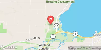
Drummond Mill Pond, also known as Rust Flowage, is a picturesque water resource located in Bayfield, Wisconsin, owned and regulated by the state.
Summary
With its primary purpose being recreation, this Earth and Gravity dam stands at a height of 24 feet and was completed in the year 1889. The pond has a storage capacity of 450 acre-feet and covers a surface area of 62 acres, providing a serene environment for water and climate enthusiasts to enjoy various activities.
Despite its age, Drummond Mill Pond is in fair condition with a high hazard potential, as indicated by a recent assessment. The dam's spillway type is uncontrolled, with a maximum discharge capacity of 780 cubic feet per second. Regular inspections are conducted, with the last one taking place in October 2020, ensuring the safety and integrity of the structure. The risk assessment for the pond is moderate, with measures in place to manage any potential risks effectively.
Whether you're interested in exploring the Long Lake Branch White River, fishing, or simply appreciating the beauty of the surrounding area, Drummond Mill Pond offers a peaceful retreat in a natural setting. With its historical significance, recreational opportunities, and regulatory oversight by the Wisconsin Department of Natural Resources, this water resource serves as a valuable asset for both locals and visitors seeking to connect with nature and enjoy the outdoors responsibly.
Regional Streamflow Levels
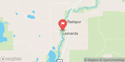 Namekagon River At Leonards
|
246cfs |
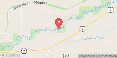 North Fish Creek Near Moquah
|
55cfs |
 White River Near Ashland
|
304cfs |
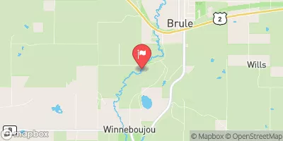 Bois Brule River At Brule
|
266cfs |
 Whittlesey Creek Near Ashland
|
17cfs |
 Bad River Near Mellen
|
101cfs |
15-Day Long Term Forecast
Year Completed |
1889 |
Dam Length |
130 |
Dam Height |
24 |
River Or Stream |
LONG LAKE BRANCH WHITE |
Primary Dam Type |
Earth |
Surface Area |
62 |
Hydraulic Height |
19 |
Drainage Area |
45 |
Nid Storage |
450 |
Structural Height |
24 |
Hazard Potential |
High |
Nid Height |
24 |
Seasonal Comparison
5-Day Hourly Forecast Detail
Dam Data Reference
Condition Assessment
SatisfactoryNo existing or potential dam safety deficiencies are recognized. Acceptable performance is expected under all loading conditions (static, hydrologic, seismic) in accordance with the minimum applicable state or federal regulatory criteria or tolerable risk guidelines.
Fair
No existing dam safety deficiencies are recognized for normal operating conditions. Rare or extreme hydrologic and/or seismic events may result in a dam safety deficiency. Risk may be in the range to take further action. Note: Rare or extreme event is defined by the regulatory agency based on their minimum
Poor A dam safety deficiency is recognized for normal operating conditions which may realistically occur. Remedial action is necessary. POOR may also be used when uncertainties exist as to critical analysis parameters which identify a potential dam safety deficiency. Investigations and studies are necessary.
Unsatisfactory
A dam safety deficiency is recognized that requires immediate or emergency remedial action for problem resolution.
Not Rated
The dam has not been inspected, is not under state or federal jurisdiction, or has been inspected but, for whatever reason, has not been rated.
Not Available
Dams for which the condition assessment is restricted to approved government users.
Hazard Potential Classification
HighDams assigned the high hazard potential classification are those where failure or mis-operation will probably cause loss of human life.
Significant
Dams assigned the significant hazard potential classification are those dams where failure or mis-operation results in no probable loss of human life but can cause economic loss, environment damage, disruption of lifeline facilities, or impact other concerns. Significant hazard potential classification dams are often located in predominantly rural or agricultural areas but could be in areas with population and significant infrastructure.
Low
Dams assigned the low hazard potential classification are those where failure or mis-operation results in no probable loss of human life and low economic and/or environmental losses. Losses are principally limited to the owner's property.
Undetermined
Dams for which a downstream hazard potential has not been designated or is not provided.
Not Available
Dams for which the downstream hazard potential is restricted to approved government users.
 Two Lakes Campground
 Two Lakes Recreation Area
 Two Lakes
 Perch Lake Recreation Area
 Delta Lake County Park
 Namekagon Lake Recreation Area Campgrounds
 Drummond Lake -- Access at S End of Lake off Drummond Lk Rd
 Forest Road 162 Crossing To Bridge On Blaisdell Lake
 East Forest Boundary To Forest Road 162 Crossing
 Forest Road 149 To West Forest Boundary