


Hunters Rest Club Lake Dam Reservoir Report
Last Updated: May 4, 2026
°F
°F
mph
Wind
%
Humidity
Hunters Rest Club Lake Dam, located in Cross County, Arkansas, was completed in 1954 and serves as a recreational spot for water enthusiasts in the area.
Summary
The dam, which has a height of 20 feet and a length of 1074 feet, holds a maximum storage capacity of 460 acre-feet and covers a surface area of 33 acres. Despite not being state-regulated, the dam is considered to have a high hazard potential.
Situated along Copperas Creek-TR, the dam offers a serene environment for fishing, boating, and other water activities. The surrounding area, known for its natural beauty, provides an ideal setting for outdoor recreation and relaxation. Although the dam's condition is currently listed as "Not Rated," its significance in providing recreational opportunities for the community cannot be understated.
With its historical significance and potential for outdoor enjoyment, Hunters Rest Club Lake Dam stands as a testament to the intersection of water resource management and recreational opportunities. As climate and water resource enthusiasts explore the area, they can appreciate the dam's impact on the local ecosystem and its role in providing a space for outdoor leisure activities.
Regional Streamflow Levels
 Languille River Near Colt
|
1500cfs |
 Languille River At Palestine
|
3920cfs |
 Cache River Near Cotton Plant
|
899cfs |
 Mississippi River At Memphis
|
680000cfs |
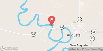 White River Near Augusta
|
16200cfs |
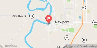 White River At Newport
|
15800cfs |
15-Day Long Term Forecast
Year Completed |
1954 |
Dam Length |
1074 |
Dam Height |
20 |
River Or Stream |
COPPERAS CREEK-TR |
Primary Dam Type |
Earth |
Surface Area |
33 |
Hydraulic Height |
19 |
Drainage Area |
1.86 |
Nid Storage |
460 |
Structural Height |
20 |
Hazard Potential |
High |
Nid Height |
20 |
Seasonal Comparison
5-Day Hourly Forecast Detail
Dam Data Reference
Condition Assessment
SatisfactoryNo existing or potential dam safety deficiencies are recognized. Acceptable performance is expected under all loading conditions (static, hydrologic, seismic) in accordance with the minimum applicable state or federal regulatory criteria or tolerable risk guidelines.
Fair
No existing dam safety deficiencies are recognized for normal operating conditions. Rare or extreme hydrologic and/or seismic events may result in a dam safety deficiency. Risk may be in the range to take further action. Note: Rare or extreme event is defined by the regulatory agency based on their minimum
Poor A dam safety deficiency is recognized for normal operating conditions which may realistically occur. Remedial action is necessary. POOR may also be used when uncertainties exist as to critical analysis parameters which identify a potential dam safety deficiency. Investigations and studies are necessary.
Unsatisfactory
A dam safety deficiency is recognized that requires immediate or emergency remedial action for problem resolution.
Not Rated
The dam has not been inspected, is not under state or federal jurisdiction, or has been inspected but, for whatever reason, has not been rated.
Not Available
Dams for which the condition assessment is restricted to approved government users.
Hazard Potential Classification
HighDams assigned the high hazard potential classification are those where failure or mis-operation will probably cause loss of human life.
Significant
Dams assigned the significant hazard potential classification are those dams where failure or mis-operation results in no probable loss of human life but can cause economic loss, environment damage, disruption of lifeline facilities, or impact other concerns. Significant hazard potential classification dams are often located in predominantly rural or agricultural areas but could be in areas with population and significant infrastructure.
Low
Dams assigned the low hazard potential classification are those where failure or mis-operation results in no probable loss of human life and low economic and/or environmental losses. Losses are principally limited to the owner's property.
Undetermined
Dams for which a downstream hazard potential has not been designated or is not provided.
Not Available
Dams for which the downstream hazard potential is restricted to approved government users.
 Lake Austell
 Lake Hogue
 Horseshoe Lake
 Lake Greenlee
 Craighead Forest Lake