


Big Creek Wid Site 14 Reservoir Report
Last Updated: May 11, 2026
°F
°F
mph
Wind
%
Humidity
Big Creek Wid Site 14 in Jonesboro, Arkansas, is a local government-owned dam designed by the USDA NRCS for flood risk reduction.
Summary
Completed in 1969, this earth dam stands at 26 feet high and spans 1360 feet along Big Creek-OS, with a storage capacity of 721 acre-feet. It serves as a crucial structure for flood control and recreation in the area, with a significantly high hazard potential due to its condition assessment being marked as "Not Rated."
Located in Craighead County, Arkansas, this dam is regulated, permitted, inspected, and enforced by the ANRC, ensuring its safety and functionality. Its spillway type is uncontrolled, and it has an uncontrolled outlet gate, posing a potential risk in case of emergencies. Despite its moderate risk assessment score of 3, the dam's risk management measures and emergency action plan are not clearly documented, raising concerns for its long-term safety and maintenance. Enthusiasts of water resources and climate should keep an eye on Big Creek Wid Site 14 for any updates or improvements in its risk management and emergency preparedness.
Regional Streamflow Levels
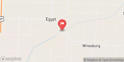 Cache River At Egypt
|
6cfs |
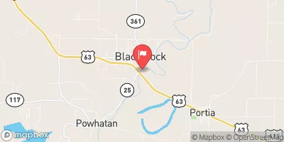 Black River At Black Rock
|
5520cfs |
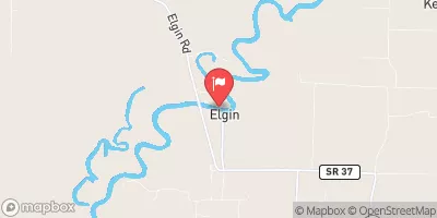 Black River At Elgin Ferry
|
6740cfs |
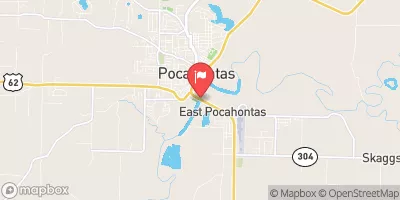 Black River At Pocahontas
|
4100cfs |
 White River At Newport
|
10100cfs |
 Spring River At Imboden
|
590cfs |
15-Day Long Term Forecast
Year Completed |
1969 |
Dam Length |
1360 |
Dam Height |
26 |
River Or Stream |
BIG CREEK-OS |
Primary Dam Type |
Earth |
Surface Area |
39 |
Hydraulic Height |
21 |
Drainage Area |
1 |
Nid Storage |
721 |
Structural Height |
26 |
Outlet Gates |
Uncontrolled |
Hazard Potential |
High |
Nid Height |
26 |
Seasonal Comparison
5-Day Hourly Forecast Detail
Dam Data Reference
Condition Assessment
SatisfactoryNo existing or potential dam safety deficiencies are recognized. Acceptable performance is expected under all loading conditions (static, hydrologic, seismic) in accordance with the minimum applicable state or federal regulatory criteria or tolerable risk guidelines.
Fair
No existing dam safety deficiencies are recognized for normal operating conditions. Rare or extreme hydrologic and/or seismic events may result in a dam safety deficiency. Risk may be in the range to take further action. Note: Rare or extreme event is defined by the regulatory agency based on their minimum
Poor A dam safety deficiency is recognized for normal operating conditions which may realistically occur. Remedial action is necessary. POOR may also be used when uncertainties exist as to critical analysis parameters which identify a potential dam safety deficiency. Investigations and studies are necessary.
Unsatisfactory
A dam safety deficiency is recognized that requires immediate or emergency remedial action for problem resolution.
Not Rated
The dam has not been inspected, is not under state or federal jurisdiction, or has been inspected but, for whatever reason, has not been rated.
Not Available
Dams for which the condition assessment is restricted to approved government users.
Hazard Potential Classification
HighDams assigned the high hazard potential classification are those where failure or mis-operation will probably cause loss of human life.
Significant
Dams assigned the significant hazard potential classification are those dams where failure or mis-operation results in no probable loss of human life but can cause economic loss, environment damage, disruption of lifeline facilities, or impact other concerns. Significant hazard potential classification dams are often located in predominantly rural or agricultural areas but could be in areas with population and significant infrastructure.
Low
Dams assigned the low hazard potential classification are those where failure or mis-operation results in no probable loss of human life and low economic and/or environmental losses. Losses are principally limited to the owner's property.
Undetermined
Dams for which a downstream hazard potential has not been designated or is not provided.
Not Available
Dams for which the downstream hazard potential is restricted to approved government users.
 Lake Frierson
 Crowley's Ridge State Park
 Lake Hogue
 Eleven Point River
 Lake Ashbaugh