


Lake Lee Dam Reservoir Report
Last Updated: May 11, 2026
Nearby: Jones Lake Dam Tulley Lake
°F
°F
mph
Wind
%
Humidity
Lake Lee Dam, located in Jefferson County, Arkansas, was completed in 1952 with a primary purpose of providing recreational opportunities.
Summary
Owned privately, this earth dam stands at a height of 18 feet and has a maximum storage capacity of 95 acre-feet. The dam is situated on the Arkansas River-Tr, within the jurisdiction of the Natural Resources Conservation Service.
Despite its low hazard potential, the dam is considered to have a moderate risk level, with a risk assessment rating of 3. The condition of Lake Lee Dam has not been rated, and it is not regularly inspected or monitored by state agencies. With an uncontrolled spillway and no outlet gates, the dam's emergency action plan and risk management measures are not specified, leaving room for potential vulnerabilities in the case of a disaster. For water resource and climate enthusiasts, Lake Lee Dam serves as an interesting case study for examining the management and safety protocols of privately-owned dams in the United States.
Regional Streamflow Levels
 Hurricane Creek Near Sheridan
|
132cfs |
 Saline River Near Sheridan
|
1020cfs |
 Bayou Meto Near Lonoke
|
286cfs |
 Rock Creek At 36th Street At Little Rock
|
16cfs |
 Bayou Bartholomew At Garrett Bridge
|
26cfs |
 Saline River At Benton
|
289cfs |
15-Day Long Term Forecast
Year Completed |
1952 |
Dam Length |
237 |
Dam Height |
18 |
River Or Stream |
ARKANSAS RIVER-TR |
Primary Dam Type |
Earth |
Hydraulic Height |
16 |
Nid Storage |
95 |
Structural Height |
18 |
Hazard Potential |
Low |
Nid Height |
18 |
Seasonal Comparison
5-Day Hourly Forecast Detail
Dam Data Reference
Condition Assessment
SatisfactoryNo existing or potential dam safety deficiencies are recognized. Acceptable performance is expected under all loading conditions (static, hydrologic, seismic) in accordance with the minimum applicable state or federal regulatory criteria or tolerable risk guidelines.
Fair
No existing dam safety deficiencies are recognized for normal operating conditions. Rare or extreme hydrologic and/or seismic events may result in a dam safety deficiency. Risk may be in the range to take further action. Note: Rare or extreme event is defined by the regulatory agency based on their minimum
Poor A dam safety deficiency is recognized for normal operating conditions which may realistically occur. Remedial action is necessary. POOR may also be used when uncertainties exist as to critical analysis parameters which identify a potential dam safety deficiency. Investigations and studies are necessary.
Unsatisfactory
A dam safety deficiency is recognized that requires immediate or emergency remedial action for problem resolution.
Not Rated
The dam has not been inspected, is not under state or federal jurisdiction, or has been inspected but, for whatever reason, has not been rated.
Not Available
Dams for which the condition assessment is restricted to approved government users.
Hazard Potential Classification
HighDams assigned the high hazard potential classification are those where failure or mis-operation will probably cause loss of human life.
Significant
Dams assigned the significant hazard potential classification are those dams where failure or mis-operation results in no probable loss of human life but can cause economic loss, environment damage, disruption of lifeline facilities, or impact other concerns. Significant hazard potential classification dams are often located in predominantly rural or agricultural areas but could be in areas with population and significant infrastructure.
Low
Dams assigned the low hazard potential classification are those where failure or mis-operation results in no probable loss of human life and low economic and/or environmental losses. Losses are principally limited to the owner's property.
Undetermined
Dams for which a downstream hazard potential has not been designated or is not provided.
Not Available
Dams for which the downstream hazard potential is restricted to approved government users.
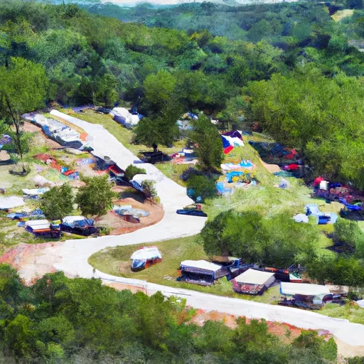
Area Campgrounds
| Location | Reservations | Toilets |
|---|---|---|
 Pine Bluff Aresenal Military
|
||
 Saracen Trace RV Park
|
||
 Tar Camp
|
||
 Trulock - Arkansas River
|
||
 Rising Star
|
||
 Cane Creek State park
|
 Pine Bluff Arsenal Jefferson County
 East Line Of Nw 1/4, Sec 22, T2N, R17W To West Line Of Sec 26, T2N, R17W
 Plum Bayou
 Cane Creek Lake
 Cane Creek
 Fourche Creek
 MacArthur Park Pond