Clear Lake At Clear Lake Reservoir Report
Last Updated: February 4, 2026
Clear Lake is a natural freshwater lake located in north-central Iowa.
°F
°F
mph
Wind
%
Humidity
15-Day Weather Outlook
Summary
The lake was created around 14,000 years ago during the last glacial period. It covers an area of 3,684 acres and has a maximum depth of 14 feet. The lake is fed by several small streams and snowmelt runoff. The lake's watershed is primarily agricultural, with row crops such as corn and soybeans. The lake is a popular recreational destination, offering boating, fishing, swimming, and other water sports. The lake has a vibrant tourism industry, with many resorts, restaurants, and shops located on its shores. Clear Lake is also home to a variety of aquatic plant and animal species, including bass, walleye, and bluegill.
Reservoir Details
| Gage Height, Ft 24hr Change | None% |
| Percent of Normal | None% |
| Minimum |
0.65 ft
2022-12-10 |
| Maximum |
5.95 ft
2008-06-13 |
| Average | 4 ft |
Seasonal Comparison
Gage Height, Ft Levels
Hourly Weather Forecast
Nearby Streamflow Levels
 Winnebago River At Mason City
|
166cfs |
 Iowa River Near Rowan
|
195cfs |
 Cedar River At Charles City
|
450cfs |
 Cedar River Near Austin
|
231cfs |
 Little Cedar River Near Ionia
|
70cfs |
 East Fork Des Moines River At Dakota City
|
255cfs |
Dam Data Reference
Condition Assessment
SatisfactoryNo existing or potential dam safety deficiencies are recognized. Acceptable performance is expected under all loading conditions (static, hydrologic, seismic) in accordance with the minimum applicable state or federal regulatory criteria or tolerable risk guidelines.
Fair
No existing dam safety deficiencies are recognized for normal operating conditions. Rare or extreme hydrologic and/or seismic events may result in a dam safety deficiency. Risk may be in the range to take further action. Note: Rare or extreme event is defined by the regulatory agency based on their minimum
Poor A dam safety deficiency is recognized for normal operating conditions which may realistically occur. Remedial action is necessary. POOR may also be used when uncertainties exist as to critical analysis parameters which identify a potential dam safety deficiency. Investigations and studies are necessary.
Unsatisfactory
A dam safety deficiency is recognized that requires immediate or emergency remedial action for problem resolution.
Not Rated
The dam has not been inspected, is not under state or federal jurisdiction, or has been inspected but, for whatever reason, has not been rated.
Not Available
Dams for which the condition assessment is restricted to approved government users.
Hazard Potential Classification
HighDams assigned the high hazard potential classification are those where failure or mis-operation will probably cause loss of human life.
Significant
Dams assigned the significant hazard potential classification are those dams where failure or mis-operation results in no probable loss of human life but can cause economic loss, environment damage, disruption of lifeline facilities, or impact other concerns. Significant hazard potential classification dams are often located in predominantly rural or agricultural areas but could be in areas with population and significant infrastructure.
Low
Dams assigned the low hazard potential classification are those where failure or mis-operation results in no probable loss of human life and low economic and/or environmental losses. Losses are principally limited to the owner's property.
Undetermined
Dams for which a downstream hazard potential has not been designated or is not provided.
Not Available
Dams for which the downstream hazard potential is restricted to approved government users.

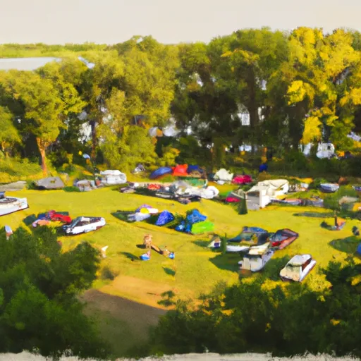 Clear Lake State Park Campground
 McIntosh Woods State Park Campground
 Lime Creek County Conservation Area
 Pilot Knob State Park Campground
 Mallard Marsh Dam No 1
 Clear Lake At Clear Lake
 Main Avenue Clear Lake