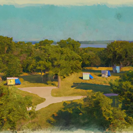
Anderson Dam Reservoir Report
Last Updated: January 11, 2026
Anderson Dam, located in Pottawattamie, Iowa, is a privately owned earth dam designed by the USDA NRCS for fire protection and as a small fish pond.
°F
°F
mph
Wind
%
Humidity
Summary
Completed in 1971, the dam stands at 31 feet high and has a storage capacity of 38 acre-feet. With a surface area of 3.1 acres and a drainage area of 0.11 square miles, Anderson Dam plays a crucial role in water resource management in the region.
Managed by the Iowa Department of Natural Resources, Anderson Dam is regulated, permitted, inspected, and enforced by state agencies to ensure its safety and functionality. Despite being classified as low hazard potential and not currently rated for condition assessment, the dam poses a moderate risk due to its age and design. While emergency action plans and risk management measures are not specified, the dam serves as a vital element in maintaining water supply and regulation for the local community.
As a part of the Omaha District and situated on the TR-Pony Creek, Anderson Dam plays a significant role in enhancing the resilience of the water infrastructure in Council Bluffs. With its strategic location and purpose, the dam serves as a valuable asset for fire protection, stock, and small fish pond activities while contributing to the overall ecosystem health of the area.
Year Completed |
1971 |
Dam Length |
338 |
Dam Height |
31 |
River Or Stream |
TR-PONY CREEK |
Primary Dam Type |
Earth |
Surface Area |
3.1 |
Drainage Area |
0.11 |
Nid Storage |
38 |
Hazard Potential |
Low |
Foundations |
Soil |
Nid Height |
31 |
Seasonal Comparison
Weather Forecast
Nearby Streamflow Levels
 Missouri River At Omaha
|
17500cfs |
 Big Papillion Cr
|
38cfs |
 West Nishnabotna River At Hancock
|
154cfs |
 West Nishnabotna River At Randolph
|
353cfs |
 Platte R At Louisville Ne
|
6500cfs |
 Boyer River At Logan
|
417cfs |
Dam Data Reference
Condition Assessment
SatisfactoryNo existing or potential dam safety deficiencies are recognized. Acceptable performance is expected under all loading conditions (static, hydrologic, seismic) in accordance with the minimum applicable state or federal regulatory criteria or tolerable risk guidelines.
Fair
No existing dam safety deficiencies are recognized for normal operating conditions. Rare or extreme hydrologic and/or seismic events may result in a dam safety deficiency. Risk may be in the range to take further action. Note: Rare or extreme event is defined by the regulatory agency based on their minimum
Poor A dam safety deficiency is recognized for normal operating conditions which may realistically occur. Remedial action is necessary. POOR may also be used when uncertainties exist as to critical analysis parameters which identify a potential dam safety deficiency. Investigations and studies are necessary.
Unsatisfactory
A dam safety deficiency is recognized that requires immediate or emergency remedial action for problem resolution.
Not Rated
The dam has not been inspected, is not under state or federal jurisdiction, or has been inspected but, for whatever reason, has not been rated.
Not Available
Dams for which the condition assessment is restricted to approved government users.
Hazard Potential Classification
HighDams assigned the high hazard potential classification are those where failure or mis-operation will probably cause loss of human life.
Significant
Dams assigned the significant hazard potential classification are those dams where failure or mis-operation results in no probable loss of human life but can cause economic loss, environment damage, disruption of lifeline facilities, or impact other concerns. Significant hazard potential classification dams are often located in predominantly rural or agricultural areas but could be in areas with population and significant infrastructure.
Low
Dams assigned the low hazard potential classification are those where failure or mis-operation results in no probable loss of human life and low economic and/or environmental losses. Losses are principally limited to the owner's property.
Undetermined
Dams for which a downstream hazard potential has not been designated or is not provided.
Not Available
Dams for which the downstream hazard potential is restricted to approved government users.
Area Campgrounds
| Location | Reservations | Toilets |
|---|---|---|
 Lake Manawa State Park
|
||
 Friendship City Park
|
||
 Camp Wakonda
|
||
 Camp Logan Fontenelle
|
||
 Camp Brewster
|
||
 Haworth City Park - Bellevue
|

 Anderson Dam
 Lake Manawa State Park