Iowa Noname63 Reservoir Report
Nearby: Skubal Dam Harris Dam
Last Updated: February 2, 2026
Iowa Noname63 is a local government-owned dam located in Washington, Iowa, specifically in the city of Gladwin.
°F
°F
mph
Wind
%
Humidity
15-Day Weather Outlook
Summary
Built in 1945, this earth dam stands at a height of 27 feet and has a length of 400 feet. Its primary purpose is for fire protection, stock, or as a small fish pond, with a storage capacity of 161 acre-feet.
Situated on the TR-Waiskey Run Creek, Iowa Noname63 is regulated by the Iowa Department of Natural Resources (DNR) and is subject to state permitting, inspection, and enforcement. Despite being classified as having a low hazard potential, the dam's risk assessment is considered moderate, indicating a level 3 risk. With a surface area of 9.6 acres and a drainage area of 0.56 square miles, this dam plays a crucial role in water resource management in the region.
While the dam has not been rated for its condition assessment, its emergency action plan (EAP) status is unknown. However, the dam is considered to meet guidelines in terms of risk management measures. With its strategic location and significant storage capacity, Iowa Noname63 remains an essential infrastructure for fire protection and water resource management in Washington County, Iowa.
Year Completed |
1945 |
Dam Length |
400 |
Dam Height |
27 |
River Or Stream |
TR-WAISKEY RUN CREEK |
Primary Dam Type |
Earth |
Surface Area |
9.6 |
Drainage Area |
0.56 |
Nid Storage |
161 |
Hazard Potential |
Low |
Foundations |
Soil |
Nid Height |
27 |
Seasonal Comparison
Hourly Weather Forecast
Nearby Streamflow Levels
 Iowa River Near Lone Tree
|
1990cfs |
 English River At Kalona
|
41cfs |
 Cedar River Near Conesville
|
4430cfs |
 Old Mans Creek Near Iowa City
|
24cfs |
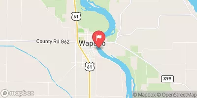 Iowa River At Wapello
|
7560cfs |
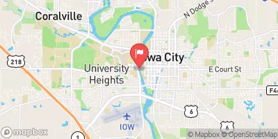 Iowa River At Iowa City
|
1130cfs |
Dam Data Reference
Condition Assessment
SatisfactoryNo existing or potential dam safety deficiencies are recognized. Acceptable performance is expected under all loading conditions (static, hydrologic, seismic) in accordance with the minimum applicable state or federal regulatory criteria or tolerable risk guidelines.
Fair
No existing dam safety deficiencies are recognized for normal operating conditions. Rare or extreme hydrologic and/or seismic events may result in a dam safety deficiency. Risk may be in the range to take further action. Note: Rare or extreme event is defined by the regulatory agency based on their minimum
Poor A dam safety deficiency is recognized for normal operating conditions which may realistically occur. Remedial action is necessary. POOR may also be used when uncertainties exist as to critical analysis parameters which identify a potential dam safety deficiency. Investigations and studies are necessary.
Unsatisfactory
A dam safety deficiency is recognized that requires immediate or emergency remedial action for problem resolution.
Not Rated
The dam has not been inspected, is not under state or federal jurisdiction, or has been inspected but, for whatever reason, has not been rated.
Not Available
Dams for which the condition assessment is restricted to approved government users.
Hazard Potential Classification
HighDams assigned the high hazard potential classification are those where failure or mis-operation will probably cause loss of human life.
Significant
Dams assigned the significant hazard potential classification are those dams where failure or mis-operation results in no probable loss of human life but can cause economic loss, environment damage, disruption of lifeline facilities, or impact other concerns. Significant hazard potential classification dams are often located in predominantly rural or agricultural areas but could be in areas with population and significant infrastructure.
Low
Dams assigned the low hazard potential classification are those where failure or mis-operation results in no probable loss of human life and low economic and/or environmental losses. Losses are principally limited to the owner's property.
Undetermined
Dams for which a downstream hazard potential has not been designated or is not provided.
Not Available
Dams for which the downstream hazard potential is restricted to approved government users.
Area Campgrounds
| Location | Reservations | Toilets |
|---|---|---|
 Marr Park
|
||
 Crooked Creek Christian Camp
|
||
 Louisa County Fairgrounds
|
||
 River Junction Access
|

 Iowa Noname63