Scott Blvd Dam Reservoir Report
Last Updated: February 2, 2026
The Scott Blvd Dam, located in Johnson County, Iowa City, is a crucial structure designed by Stanley Consultants in 1980 for flood risk reduction along the S.
°F
°F
mph
Wind
%
Humidity
15-Day Weather Outlook
Summary
Br. Ralston Creek. This earth dam stands at a height of 20 feet and stretches over 805 feet, providing a storage capacity of 313 acre-feet to help manage the surrounding drainage area of 1.42 square miles. With a spillway width of 4 feet and uncontrolled spillway type, the dam has been deemed to have a high hazard potential but is currently in satisfactory condition as of the last inspection in July 2020.
Despite its high hazard potential, the Scott Blvd Dam is well-maintained and regulated by the Iowa Department of Natural Resources, with regular inspections and enforcement measures in place to ensure its structural integrity and functionality. The dam serves as a vital flood risk reduction asset in the area, protecting the local community from potential water-related disasters. While it presents a moderate risk level, the dam's risk management measures are not explicitly outlined in the available data, indicating a need for further assessment and planning to enhance its resilience in the face of evolving climate challenges. Enthusiasts of water resources and climate resilience will find the Scott Blvd Dam an intriguing case study in infrastructure management and environmental protection efforts.
Year Completed |
1980 |
Dam Length |
805 |
Dam Height |
20 |
River Or Stream |
S. BR. RALSTON CREEK |
Primary Dam Type |
Earth |
Drainage Area |
1.42 |
Nid Storage |
313 |
Hazard Potential |
High |
Foundations |
Soil |
Nid Height |
20 |
Seasonal Comparison
Hourly Weather Forecast
Nearby Streamflow Levels
Dam Data Reference
Condition Assessment
SatisfactoryNo existing or potential dam safety deficiencies are recognized. Acceptable performance is expected under all loading conditions (static, hydrologic, seismic) in accordance with the minimum applicable state or federal regulatory criteria or tolerable risk guidelines.
Fair
No existing dam safety deficiencies are recognized for normal operating conditions. Rare or extreme hydrologic and/or seismic events may result in a dam safety deficiency. Risk may be in the range to take further action. Note: Rare or extreme event is defined by the regulatory agency based on their minimum
Poor A dam safety deficiency is recognized for normal operating conditions which may realistically occur. Remedial action is necessary. POOR may also be used when uncertainties exist as to critical analysis parameters which identify a potential dam safety deficiency. Investigations and studies are necessary.
Unsatisfactory
A dam safety deficiency is recognized that requires immediate or emergency remedial action for problem resolution.
Not Rated
The dam has not been inspected, is not under state or federal jurisdiction, or has been inspected but, for whatever reason, has not been rated.
Not Available
Dams for which the condition assessment is restricted to approved government users.
Hazard Potential Classification
HighDams assigned the high hazard potential classification are those where failure or mis-operation will probably cause loss of human life.
Significant
Dams assigned the significant hazard potential classification are those dams where failure or mis-operation results in no probable loss of human life but can cause economic loss, environment damage, disruption of lifeline facilities, or impact other concerns. Significant hazard potential classification dams are often located in predominantly rural or agricultural areas but could be in areas with population and significant infrastructure.
Low
Dams assigned the low hazard potential classification are those where failure or mis-operation results in no probable loss of human life and low economic and/or environmental losses. Losses are principally limited to the owner's property.
Undetermined
Dams for which a downstream hazard potential has not been designated or is not provided.
Not Available
Dams for which the downstream hazard potential is restricted to approved government users.
Area Campgrounds
| Location | Reservations | Toilets |
|---|---|---|
 Hills Access
|
||
 Lake Macbride State Park Campground
|
||
 River Junction Access
|

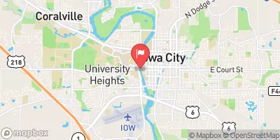
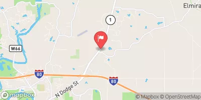
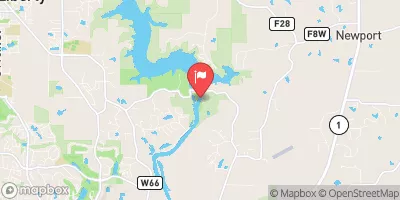
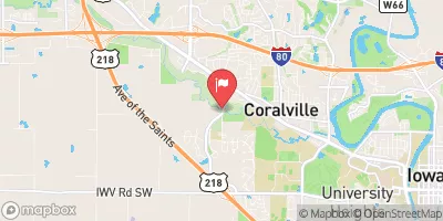
 Scott Blvd Dam
 520th Street Southeast Johnson County