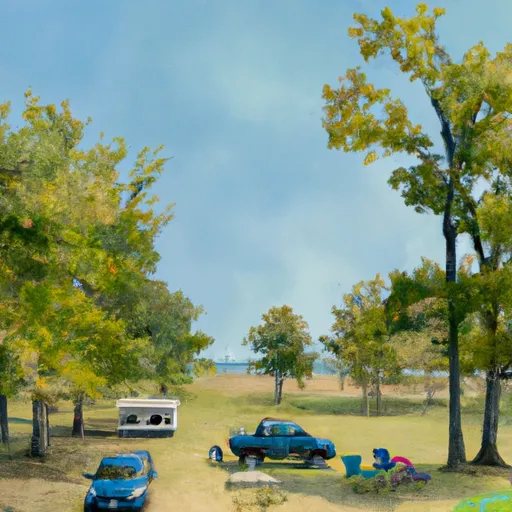
Logsdon Dam Reservoir Report
Nearby: Ruepke Dam Boswell Dam
Last Updated: February 4, 2026
Logsdon Dam, located in Lucas County, Iowa, is a privately owned structure designed by the Natural Resources Conservation Service (NRCS) for fire protection, stock, and small fish pond purposes.
°F
°F
mph
Wind
%
Humidity
15-Day Weather Outlook
Summary
Completed in 1996, this earth dam stands at a height of 19 feet and spans 395 feet in length, with a storage capacity of 66 acre-feet. Situated on the TR-CHARITON RIVER, the dam is regulated by the Iowa Department of Natural Resources and is considered to have a low hazard potential.
Despite its low hazard potential, Logsdon Dam is subject to moderate risk, with a risk assessment rating of 3. While the condition assessment is currently not rated, the dam is regularly inspected by the state regulatory agency and meets state permitting and enforcement requirements. With a surface area of 3.7 acres and a drainage area of 0.27 square miles, the dam plays a crucial role in water resource management in the area. Enthusiasts of water resources and climate will find Logsdon Dam an intriguing structure that serves multiple purposes and contributes to the local ecosystem.
Year Completed |
1996 |
Dam Length |
395 |
Dam Height |
19 |
River Or Stream |
TR- CHARITON RIVER |
Primary Dam Type |
Earth |
Surface Area |
3.7 |
Drainage Area |
0.27 |
Nid Storage |
66 |
Hazard Potential |
Low |
Foundations |
Soil |
Nid Height |
19 |
Seasonal Comparison
Hourly Weather Forecast
Nearby Streamflow Levels
Dam Data Reference
Condition Assessment
SatisfactoryNo existing or potential dam safety deficiencies are recognized. Acceptable performance is expected under all loading conditions (static, hydrologic, seismic) in accordance with the minimum applicable state or federal regulatory criteria or tolerable risk guidelines.
Fair
No existing dam safety deficiencies are recognized for normal operating conditions. Rare or extreme hydrologic and/or seismic events may result in a dam safety deficiency. Risk may be in the range to take further action. Note: Rare or extreme event is defined by the regulatory agency based on their minimum
Poor A dam safety deficiency is recognized for normal operating conditions which may realistically occur. Remedial action is necessary. POOR may also be used when uncertainties exist as to critical analysis parameters which identify a potential dam safety deficiency. Investigations and studies are necessary.
Unsatisfactory
A dam safety deficiency is recognized that requires immediate or emergency remedial action for problem resolution.
Not Rated
The dam has not been inspected, is not under state or federal jurisdiction, or has been inspected but, for whatever reason, has not been rated.
Not Available
Dams for which the condition assessment is restricted to approved government users.
Hazard Potential Classification
HighDams assigned the high hazard potential classification are those where failure or mis-operation will probably cause loss of human life.
Significant
Dams assigned the significant hazard potential classification are those dams where failure or mis-operation results in no probable loss of human life but can cause economic loss, environment damage, disruption of lifeline facilities, or impact other concerns. Significant hazard potential classification dams are often located in predominantly rural or agricultural areas but could be in areas with population and significant infrastructure.
Low
Dams assigned the low hazard potential classification are those where failure or mis-operation results in no probable loss of human life and low economic and/or environmental losses. Losses are principally limited to the owner's property.
Undetermined
Dams for which a downstream hazard potential has not been designated or is not provided.
Not Available
Dams for which the downstream hazard potential is restricted to approved government users.
Area Campgrounds
| Location | Reservations | Toilets |
|---|---|---|
 Black Oak Camp
|
||
 Longbeard Camp
|
||
 White Oak Camp
|
||
 Bottom Oak Camp
|
||
 Buck Stop Camp
|
||
 Red Haw State Park Campground
|


 Logsdon Dam