Summary
Completed in 1998, this earth dam stands at 34 feet high and spans 207 feet in length, providing a storage capacity of 46 acre-feet. Situated on the TR-Iowa River, the dam serves the community with low hazard potential and a moderate risk rating.
Managed by the Iowa Department of Natural Resources, the Walton Dam is regulated, permitted, inspected, and enforced by state agencies to ensure its safety and functionality. With a surface area of 3.5 acres and a drainage area of 0.08 square miles, the dam contributes to water resource management in the region. Although the dam has not been rated for its condition assessment, it remains a crucial infrastructure for fire protection and supporting local wildlife.
Water resource and climate enthusiasts will appreciate the strategic location of the Walton Dam within Benton County, Iowa, and its role in maintaining a balanced ecosystem along the Iowa River. With a controlled spillway and a capacity to hold 32 acre-feet of normal storage, the dam contributes to flood control efforts and supports irrigation needs in the surrounding area. As a privately-owned structure with state oversight, the Walton Dam represents a collaborative approach to water management and environmental stewardship in the region.
Year Completed |
1998 |
Dam Length |
207 |
Dam Height |
34 |
River Or Stream |
TR- IOWA RIVER |
Primary Dam Type |
Earth |
Surface Area |
3.5 |
Drainage Area |
0.08 |
Nid Storage |
46 |
Hazard Potential |
Low |
Foundations |
Soil |
Nid Height |
34 |
Seasonal Comparison
Weather Forecast
Nearby Streamflow Levels
 Iowa River Near Belle Plaine
|
966cfs |
 Salt Creek Near Elberon
|
42cfs |
 Big Bear Creek At Ladora
|
67cfs |
 Walnut Creek Near Hartwick
|
13cfs |
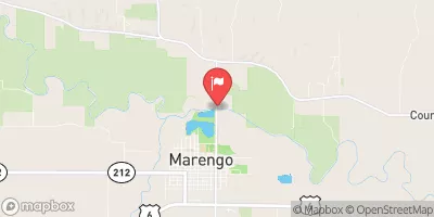 Iowa River At Marengo
|
818cfs |
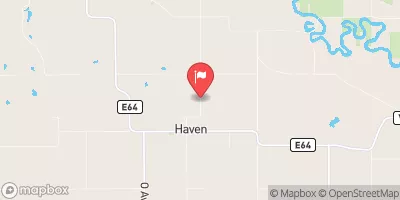 Richland Creek Near Haven
|
12cfs |
Dam Data Reference
Condition Assessment
SatisfactoryNo existing or potential dam safety deficiencies are recognized. Acceptable performance is expected under all loading conditions (static, hydrologic, seismic) in accordance with the minimum applicable state or federal regulatory criteria or tolerable risk guidelines.
Fair
No existing dam safety deficiencies are recognized for normal operating conditions. Rare or extreme hydrologic and/or seismic events may result in a dam safety deficiency. Risk may be in the range to take further action. Note: Rare or extreme event is defined by the regulatory agency based on their minimum
Poor A dam safety deficiency is recognized for normal operating conditions which may realistically occur. Remedial action is necessary. POOR may also be used when uncertainties exist as to critical analysis parameters which identify a potential dam safety deficiency. Investigations and studies are necessary.
Unsatisfactory
A dam safety deficiency is recognized that requires immediate or emergency remedial action for problem resolution.
Not Rated
The dam has not been inspected, is not under state or federal jurisdiction, or has been inspected but, for whatever reason, has not been rated.
Not Available
Dams for which the condition assessment is restricted to approved government users.
Hazard Potential Classification
HighDams assigned the high hazard potential classification are those where failure or mis-operation will probably cause loss of human life.
Significant
Dams assigned the significant hazard potential classification are those dams where failure or mis-operation results in no probable loss of human life but can cause economic loss, environment damage, disruption of lifeline facilities, or impact other concerns. Significant hazard potential classification dams are often located in predominantly rural or agricultural areas but could be in areas with population and significant infrastructure.
Low
Dams assigned the low hazard potential classification are those where failure or mis-operation results in no probable loss of human life and low economic and/or environmental losses. Losses are principally limited to the owner's property.
Undetermined
Dams for which a downstream hazard potential has not been designated or is not provided.
Not Available
Dams for which the downstream hazard potential is restricted to approved government users.

 Walton Dam