Zaugg Dam Reservoir Report
Nearby: Cooper Cove Park Dam Patz Dam
Last Updated: December 13, 2025
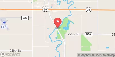
Zaugg Dam, located in Fort Dodge, Iowa, is a privately owned structure designed for flood risk reduction along the Tr-Lizard Creek.
°F
°F
mph
Wind
%
Humidity
Summary
Completed in 1998, this earth dam stands at a height of 42 feet and spans 510 feet in length, offering a storage capacity of 260 acre-feet and serving a drainage area of 2.1 square miles. With a primary purpose of flood risk reduction, the dam also caters to recreational activities in the area.
Despite its low hazard potential, Zaugg Dam's condition assessment in 2017 rated it as poor, prompting the need for inspection and potential maintenance. The dam's spillway, categorized as uncontrolled, features a width of 3 feet. While the risk assessment indicates a moderate level of risk, with a DSAC assigned date not specified, the structure continues to play a crucial role in managing water resources in the region. Water resource and climate enthusiasts can appreciate the intricate design and functionality of Zaugg Dam in safeguarding the surrounding area from flooding events.
Year Completed |
1998 |
Dam Length |
510 |
Dam Height |
42 |
River Or Stream |
Tr- Lizard Creek |
Primary Dam Type |
Earth |
Surface Area |
18.3 |
Drainage Area |
2.1 |
Nid Storage |
260 |
Hazard Potential |
Low |
Foundations |
Soil |
Nid Height |
42 |
Seasonal Comparison
Weather Forecast
Nearby Streamflow Levels
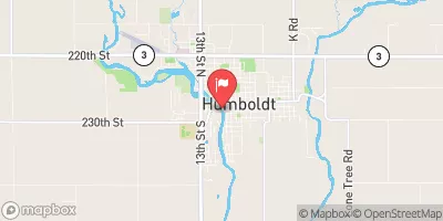 Des Moines River At Humboldt
|
401cfs |
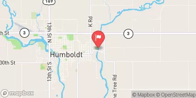 East Fork Des Moines River At Dakota City
|
255cfs |
 Des Moines River At Fort Dodge
|
1320cfs |
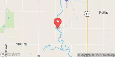 North Raccoon River Near Sac City
|
312cfs |
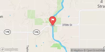 Des Moines River Near Stratford
|
1720cfs |
 Boone River Near Webster City
|
232cfs |
Dam Data Reference
Condition Assessment
SatisfactoryNo existing or potential dam safety deficiencies are recognized. Acceptable performance is expected under all loading conditions (static, hydrologic, seismic) in accordance with the minimum applicable state or federal regulatory criteria or tolerable risk guidelines.
Fair
No existing dam safety deficiencies are recognized for normal operating conditions. Rare or extreme hydrologic and/or seismic events may result in a dam safety deficiency. Risk may be in the range to take further action. Note: Rare or extreme event is defined by the regulatory agency based on their minimum
Poor A dam safety deficiency is recognized for normal operating conditions which may realistically occur. Remedial action is necessary. POOR may also be used when uncertainties exist as to critical analysis parameters which identify a potential dam safety deficiency. Investigations and studies are necessary.
Unsatisfactory
A dam safety deficiency is recognized that requires immediate or emergency remedial action for problem resolution.
Not Rated
The dam has not been inspected, is not under state or federal jurisdiction, or has been inspected but, for whatever reason, has not been rated.
Not Available
Dams for which the condition assessment is restricted to approved government users.
Hazard Potential Classification
HighDams assigned the high hazard potential classification are those where failure or mis-operation will probably cause loss of human life.
Significant
Dams assigned the significant hazard potential classification are those dams where failure or mis-operation results in no probable loss of human life but can cause economic loss, environment damage, disruption of lifeline facilities, or impact other concerns. Significant hazard potential classification dams are often located in predominantly rural or agricultural areas but could be in areas with population and significant infrastructure.
Low
Dams assigned the low hazard potential classification are those where failure or mis-operation results in no probable loss of human life and low economic and/or environmental losses. Losses are principally limited to the owner's property.
Undetermined
Dams for which a downstream hazard potential has not been designated or is not provided.
Not Available
Dams for which the downstream hazard potential is restricted to approved government users.

 Zaugg Dam