Curtis Dam Reservoir Report
Nearby: Vickstrom Dam Vershaw Dam
Last Updated: January 3, 2026
Curtis Dam, located in Scott County, Iowa, was completed in 2004 by the NRCS and serves primarily for fire protection and as a small fish pond.
°F
°F
mph
Wind
%
Humidity
Summary
This earth dam has a height of 28 feet and a length of 420 feet, with a storage capacity of 152 acre-feet. The dam is situated on the TR-Wapsipinicon River and is regulated by the Iowa DNR, with inspections and enforcement in place to ensure its safety and functionality.
Despite being classified with a low hazard potential, Curtis Dam is considered to have a moderate risk level, with a risk assessment rating of 3. The dam's condition assessment is currently not rated, and there is no Emergency Action Plan (EAP) prepared at this time. It is important for water resource and climate enthusiasts to stay updated on the risk management measures and any potential modifications to ensure the safety and sustainability of Curtis Dam in the future.
Year Completed |
2004 |
Dam Length |
420 |
Dam Height |
28 |
River Or Stream |
TR- WAPSIPINICON RIVER |
Primary Dam Type |
Earth |
Surface Area |
13.3 |
Drainage Area |
0.38 |
Nid Storage |
152 |
Hazard Potential |
Low |
Foundations |
Soil |
Nid Height |
28 |
Seasonal Comparison
Weather Forecast
Nearby Streamflow Levels
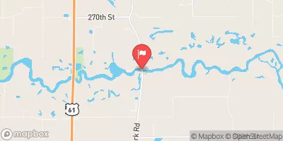
 Wapsipinicon River Near De Witt
|
559cfs |
 Crow Creek At Bettendorf
|
5cfs |
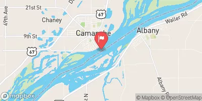
 Mississippi River At Clinton
|
34000cfs |
 Duck Creek At Dc Golf Course At Davenport
|
63cfs |
 Duck Creek At 110th Ave At Davenport
|
10cfs |
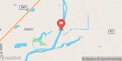
 Rock River Near Joslin
|
5930cfs |
Dam Data Reference
Condition Assessment
SatisfactoryNo existing or potential dam safety deficiencies are recognized. Acceptable performance is expected under all loading conditions (static, hydrologic, seismic) in accordance with the minimum applicable state or federal regulatory criteria or tolerable risk guidelines.
Fair
No existing dam safety deficiencies are recognized for normal operating conditions. Rare or extreme hydrologic and/or seismic events may result in a dam safety deficiency. Risk may be in the range to take further action. Note: Rare or extreme event is defined by the regulatory agency based on their minimum
Poor A dam safety deficiency is recognized for normal operating conditions which may realistically occur. Remedial action is necessary. POOR may also be used when uncertainties exist as to critical analysis parameters which identify a potential dam safety deficiency. Investigations and studies are necessary.
Unsatisfactory
A dam safety deficiency is recognized that requires immediate or emergency remedial action for problem resolution.
Not Rated
The dam has not been inspected, is not under state or federal jurisdiction, or has been inspected but, for whatever reason, has not been rated.
Not Available
Dams for which the condition assessment is restricted to approved government users.
Hazard Potential Classification
HighDams assigned the high hazard potential classification are those where failure or mis-operation will probably cause loss of human life.
Significant
Dams assigned the significant hazard potential classification are those dams where failure or mis-operation results in no probable loss of human life but can cause economic loss, environment damage, disruption of lifeline facilities, or impact other concerns. Significant hazard potential classification dams are often located in predominantly rural or agricultural areas but could be in areas with population and significant infrastructure.
Low
Dams assigned the low hazard potential classification are those where failure or mis-operation results in no probable loss of human life and low economic and/or environmental losses. Losses are principally limited to the owner's property.
Undetermined
Dams for which a downstream hazard potential has not been designated or is not provided.
Not Available
Dams for which the downstream hazard potential is restricted to approved government users.
Area Campgrounds
| Location | Reservations | Toilets |
|---|---|---|
 Sac-Fox Campground
|
||
 Wilderness Campground
|
||
 Incahias Campground
|
||
 Rock Creek County Campground
|

 Curtis Dam
 3rd Avenue North Cordova