Marywood Farms Wetland Dam #2 Reservoir Report
Last Updated: February 4, 2026
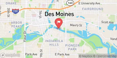
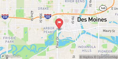
Marywood Farms Wetland Dam #2, located in Red Rock Reservoir, Iowa, is a privately owned structure designed by NRCS and regulated by the Iowa DNR.
°F
°F
mph
Wind
%
Humidity
15-Day Weather Outlook
Summary
Completed in 2007, this earth dam stands at a height of 8 feet and spans 1108 feet, with a primary purpose of serving as a Fish and Wildlife Pond. With a storage capacity of 108 acre-feet and a surface area of 15.6 acres, the dam plays a crucial role in enhancing the local ecosystem and supporting wildlife habitat.
Despite its low hazard potential, Marywood Farms Wetland Dam #2 is classified as having a moderate risk level, indicating the need for ongoing monitoring and maintenance. The dam features an uncontrolled spillway with a width of 1 foot, and while it has not been rated for condition assessment, it is subject to regular state inspections. The structure's location within the TR- South River watershed highlights its significance in managing water resources and supporting the overall health of the surrounding environment.
As a key component of the local water infrastructure, Marywood Farms Wetland Dam #2 contributes to flood control, water quality improvement, and wildlife conservation efforts in the region. With its strategic placement and design specifications, the dam serves as a valuable asset for both the community and the ecosystem, showcasing the importance of sustainable water resource management practices in mitigating the impacts of climate change and promoting environmental resilience.
Year Completed |
2007 |
Dam Length |
1108 |
Dam Height |
8 |
River Or Stream |
TR- SOUTH RIVER |
Primary Dam Type |
Earth |
Surface Area |
15.6 |
Drainage Area |
0.2 |
Nid Storage |
108 |
Hazard Potential |
Low |
Foundations |
Soil |
Nid Height |
8 |
Seasonal Comparison
Hourly Weather Forecast
Nearby Streamflow Levels
Dam Data Reference
Condition Assessment
SatisfactoryNo existing or potential dam safety deficiencies are recognized. Acceptable performance is expected under all loading conditions (static, hydrologic, seismic) in accordance with the minimum applicable state or federal regulatory criteria or tolerable risk guidelines.
Fair
No existing dam safety deficiencies are recognized for normal operating conditions. Rare or extreme hydrologic and/or seismic events may result in a dam safety deficiency. Risk may be in the range to take further action. Note: Rare or extreme event is defined by the regulatory agency based on their minimum
Poor A dam safety deficiency is recognized for normal operating conditions which may realistically occur. Remedial action is necessary. POOR may also be used when uncertainties exist as to critical analysis parameters which identify a potential dam safety deficiency. Investigations and studies are necessary.
Unsatisfactory
A dam safety deficiency is recognized that requires immediate or emergency remedial action for problem resolution.
Not Rated
The dam has not been inspected, is not under state or federal jurisdiction, or has been inspected but, for whatever reason, has not been rated.
Not Available
Dams for which the condition assessment is restricted to approved government users.
Hazard Potential Classification
HighDams assigned the high hazard potential classification are those where failure or mis-operation will probably cause loss of human life.
Significant
Dams assigned the significant hazard potential classification are those dams where failure or mis-operation results in no probable loss of human life but can cause economic loss, environment damage, disruption of lifeline facilities, or impact other concerns. Significant hazard potential classification dams are often located in predominantly rural or agricultural areas but could be in areas with population and significant infrastructure.
Low
Dams assigned the low hazard potential classification are those where failure or mis-operation results in no probable loss of human life and low economic and/or environmental losses. Losses are principally limited to the owner's property.
Undetermined
Dams for which a downstream hazard potential has not been designated or is not provided.
Not Available
Dams for which the downstream hazard potential is restricted to approved government users.


 Marywood Farms Wetland Dam #2