
Meyer Dam Reservoir Report
Last Updated: March 16, 2026
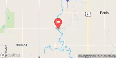
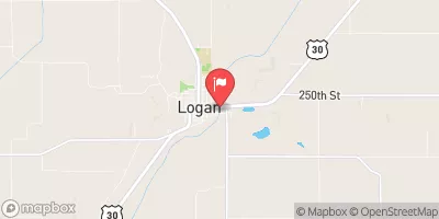
Meyer Dam, located in Denison, Iowa, is a privately owned structure designed by NRCS with a primary purpose of flood risk reduction.
Summary
Completed in 2010, this earth dam stands at a height of 27 feet and stretches 418 feet in length, providing a storage capacity of 49 acre-feet. Serving as a crucial infrastructure to protect the surrounding area from potential flooding, the dam is regulated by the Iowa Department of Natural Resources and undergoes regular inspections and enforcement to ensure its safety and efficiency.
Situated on a tributary to the East Boyer River, Meyer Dam plays a vital role in stabilizing grades and reducing the risk of flooding in the region. With a surface area of 3.9 acres and a drainage area of 0.24 square miles, the dam has a low hazard potential and a moderate risk assessment rating. Despite not being rated for condition assessment, the dam continues to serve its purpose effectively, meeting guidelines for emergency action plans and risk management measures.
Owned and operated privately, Meyer Dam contributes significantly to the overall water resource management and climate resilience efforts in Crawford County, Iowa. With its strategic location and design, the dam provides essential flood protection while maintaining a balance between environmental conservation and community safety. As a key infrastructure in the area, Meyer Dam stands as a testament to effective water resource management and the importance of proactive measures in mitigating climate-related risks.
°F
°F
mph
Wind
%
Humidity
15-Day Weather Outlook
Year Completed |
2010 |
Dam Length |
418 |
Dam Height |
27 |
River Or Stream |
Trib to East Boyer River |
Primary Dam Type |
Earth |
Surface Area |
3.9 |
Drainage Area |
0.24 |
Nid Storage |
49 |
Hazard Potential |
Low |
Foundations |
Soil |
Nid Height |
27 |
Seasonal Comparison
5-Day Hourly Forecast Detail
Nearby Streamflow Levels
 North Raccoon River Near Sac City
|
317cfs |
 Maple River At Mapleton
|
251cfs |
 Little Sioux River Near Turin
|
874cfs |
 Soldier River At Pisgah
|
177cfs |
 Monona-Harrison Ditch Near Turin
|
153cfs |
 Boyer River At Logan
|
370cfs |
Dam Data Reference
Condition Assessment
SatisfactoryNo existing or potential dam safety deficiencies are recognized. Acceptable performance is expected under all loading conditions (static, hydrologic, seismic) in accordance with the minimum applicable state or federal regulatory criteria or tolerable risk guidelines.
Fair
No existing dam safety deficiencies are recognized for normal operating conditions. Rare or extreme hydrologic and/or seismic events may result in a dam safety deficiency. Risk may be in the range to take further action. Note: Rare or extreme event is defined by the regulatory agency based on their minimum
Poor A dam safety deficiency is recognized for normal operating conditions which may realistically occur. Remedial action is necessary. POOR may also be used when uncertainties exist as to critical analysis parameters which identify a potential dam safety deficiency. Investigations and studies are necessary.
Unsatisfactory
A dam safety deficiency is recognized that requires immediate or emergency remedial action for problem resolution.
Not Rated
The dam has not been inspected, is not under state or federal jurisdiction, or has been inspected but, for whatever reason, has not been rated.
Not Available
Dams for which the condition assessment is restricted to approved government users.
Hazard Potential Classification
HighDams assigned the high hazard potential classification are those where failure or mis-operation will probably cause loss of human life.
Significant
Dams assigned the significant hazard potential classification are those dams where failure or mis-operation results in no probable loss of human life but can cause economic loss, environment damage, disruption of lifeline facilities, or impact other concerns. Significant hazard potential classification dams are often located in predominantly rural or agricultural areas but could be in areas with population and significant infrastructure.
Low
Dams assigned the low hazard potential classification are those where failure or mis-operation results in no probable loss of human life and low economic and/or environmental losses. Losses are principally limited to the owner's property.
Undetermined
Dams for which a downstream hazard potential has not been designated or is not provided.
Not Available
Dams for which the downstream hazard potential is restricted to approved government users.
 Meyer Dam