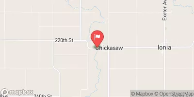
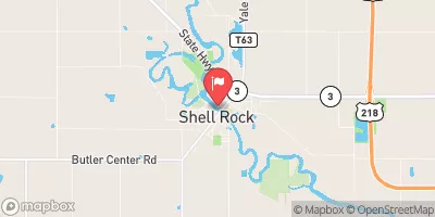
Nora Springs Low Head Dam Reservoir Report
Last Updated: February 4, 2026
Nora Springs Low Head Dam, located on the Shell Rock River in Floyd County, Iowa, was completed in 1895 and serves primarily for recreational purposes.
°F
°F
mph
Wind
%
Humidity
15-Day Weather Outlook
Summary
The dam, with a height of 12 feet and a length of 600 feet, creates a reservoir with a storage capacity of 150 acre-feet and a surface area of 22 acres. Despite its age, the dam is rated as having a low hazard potential and is currently not rated for its condition.
Owned by the local government, the Nora Springs Low Head Dam is regulated by the Iowa Department of Natural Resources, with state permitting, inspection, and enforcement in place. The dam is primarily constructed of concrete with multi-arch and stone cores, built on a rock foundation. While the dam has not been modified in recent years and lacks certain emergency preparedness measures, its risk assessment and management remain unspecified.
Enthusiasts of water resources and climate will be intrigued by the historical significance and engineering design of Nora Springs Low Head Dam, as well as its potential impact on the local ecosystem and surrounding community. With its low hazard potential and state regulation, the dam presents an interesting case study for assessing the balance between recreational use and environmental conservation in water resource management.
Year Completed |
1895 |
Dam Length |
600 |
Dam Height |
12 |
River Or Stream |
Shell Rock River |
Primary Dam Type |
Concrete |
Surface Area |
22 |
Drainage Area |
500 |
Nid Storage |
150 |
Structural Height |
8 |
Hazard Potential |
Low |
Foundations |
Rock |
Nid Height |
12 |
Seasonal Comparison
Hourly Weather Forecast
Nearby Streamflow Levels
 Winnebago River At Mason City
|
166cfs |
 Cedar River At Charles City
|
450cfs |
 Little Cedar River Near Ionia
|
70cfs |
 Cedar River Near Austin
|
231cfs |
 Shell Rock River At Shell Rock
|
484cfs |
 Cedar River At Waverly
|
436cfs |
Dam Data Reference
Condition Assessment
SatisfactoryNo existing or potential dam safety deficiencies are recognized. Acceptable performance is expected under all loading conditions (static, hydrologic, seismic) in accordance with the minimum applicable state or federal regulatory criteria or tolerable risk guidelines.
Fair
No existing dam safety deficiencies are recognized for normal operating conditions. Rare or extreme hydrologic and/or seismic events may result in a dam safety deficiency. Risk may be in the range to take further action. Note: Rare or extreme event is defined by the regulatory agency based on their minimum
Poor A dam safety deficiency is recognized for normal operating conditions which may realistically occur. Remedial action is necessary. POOR may also be used when uncertainties exist as to critical analysis parameters which identify a potential dam safety deficiency. Investigations and studies are necessary.
Unsatisfactory
A dam safety deficiency is recognized that requires immediate or emergency remedial action for problem resolution.
Not Rated
The dam has not been inspected, is not under state or federal jurisdiction, or has been inspected but, for whatever reason, has not been rated.
Not Available
Dams for which the condition assessment is restricted to approved government users.
Hazard Potential Classification
HighDams assigned the high hazard potential classification are those where failure or mis-operation will probably cause loss of human life.
Significant
Dams assigned the significant hazard potential classification are those dams where failure or mis-operation results in no probable loss of human life but can cause economic loss, environment damage, disruption of lifeline facilities, or impact other concerns. Significant hazard potential classification dams are often located in predominantly rural or agricultural areas but could be in areas with population and significant infrastructure.
Low
Dams assigned the low hazard potential classification are those where failure or mis-operation results in no probable loss of human life and low economic and/or environmental losses. Losses are principally limited to the owner's property.
Undetermined
Dams for which a downstream hazard potential has not been designated or is not provided.
Not Available
Dams for which the downstream hazard potential is restricted to approved government users.
Area Campgrounds
| Location | Reservations | Toilets |
|---|---|---|
 Wilkinson Pioneer ounty Park Campgrounds
|
||
 Lime Creek County Conservation Area
|
||
 Osage Sprink Park Campground
|

 Nora Springs Low Head Dam