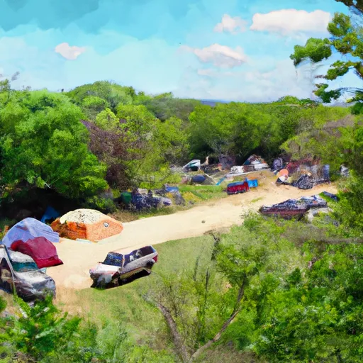
Cope Dam Reservoir Report
Last Updated: February 3, 2026
Cope Dam, located in Davis County, Iowa, serves as a vital structure for flood risk reduction along the TR-South Wyacondah River.
°F
°F
mph
Wind
%
Humidity
15-Day Weather Outlook
Summary
Built in 2014 by the USDA NRCS, this earth dam stands at a height of 22 feet and stretches 473 feet in length. With a storage capacity of 70 acre-feet, it plays a crucial role in managing the water levels in the area, covering a drainage area of 0.42 square miles.
Despite its relatively low hazard potential and moderate risk assessment, Cope Dam remains an essential asset for the community in Arbela Mo. and surrounding areas. The dam features an uncontrolled spillway and outlet gates, with a primary purpose of flood risk reduction. Owned privately, the dam is regulated by the Iowa DNR and undergoes state inspections and enforcement to ensure its structural integrity and functionality.
Water resource and climate enthusiasts will appreciate the strategic location and design of Cope Dam, as well as its impact on local water management efforts. With its stone core and soil foundation, the dam provides a reliable barrier against potential flooding events, contributing to the overall resilience of the region. As a key component in the flood risk reduction system, Cope Dam plays a critical role in safeguarding the community and surrounding areas from water-related disasters.
Year Completed |
2014 |
Dam Length |
473 |
Dam Height |
22 |
River Or Stream |
TR-South Wyacondah River |
Primary Dam Type |
Earth |
Surface Area |
3 |
Drainage Area |
0.42 |
Nid Storage |
70 |
Outlet Gates |
Uncontrolled |
Hazard Potential |
Low |
Foundations |
Soil |
Nid Height |
22 |
Seasonal Comparison
Hourly Weather Forecast
Nearby Streamflow Levels
 Fox River At Bloomfield
|
7cfs |
 Chariton River At Livonia
|
45cfs |
 Chariton River Near Moulton
|
34cfs |
 Des Moines River At Keosauqua
|
1800cfs |
 Des Moines River At Ottumwa
|
1090cfs |
 Chariton River Near Rathbun
|
11cfs |
Dam Data Reference
Condition Assessment
SatisfactoryNo existing or potential dam safety deficiencies are recognized. Acceptable performance is expected under all loading conditions (static, hydrologic, seismic) in accordance with the minimum applicable state or federal regulatory criteria or tolerable risk guidelines.
Fair
No existing dam safety deficiencies are recognized for normal operating conditions. Rare or extreme hydrologic and/or seismic events may result in a dam safety deficiency. Risk may be in the range to take further action. Note: Rare or extreme event is defined by the regulatory agency based on their minimum
Poor A dam safety deficiency is recognized for normal operating conditions which may realistically occur. Remedial action is necessary. POOR may also be used when uncertainties exist as to critical analysis parameters which identify a potential dam safety deficiency. Investigations and studies are necessary.
Unsatisfactory
A dam safety deficiency is recognized that requires immediate or emergency remedial action for problem resolution.
Not Rated
The dam has not been inspected, is not under state or federal jurisdiction, or has been inspected but, for whatever reason, has not been rated.
Not Available
Dams for which the condition assessment is restricted to approved government users.
Hazard Potential Classification
HighDams assigned the high hazard potential classification are those where failure or mis-operation will probably cause loss of human life.
Significant
Dams assigned the significant hazard potential classification are those dams where failure or mis-operation results in no probable loss of human life but can cause economic loss, environment damage, disruption of lifeline facilities, or impact other concerns. Significant hazard potential classification dams are often located in predominantly rural or agricultural areas but could be in areas with population and significant infrastructure.
Low
Dams assigned the low hazard potential classification are those where failure or mis-operation results in no probable loss of human life and low economic and/or environmental losses. Losses are principally limited to the owner's property.
Undetermined
Dams for which a downstream hazard potential has not been designated or is not provided.
Not Available
Dams for which the downstream hazard potential is restricted to approved government users.
Area Campgrounds
| Location | Reservations | Toilets |
|---|---|---|
 McGowen Rec Area
|
||
 Lake Fisher
|
||
 Drakesville City Park
|

 Cope Dam