
Frischholz Dam Reservoir Report
Nearby: Crimmins Dam Sossamon Dam
Last Updated: December 13, 2025
Frischholz Dam, also known as Downs Dam, is a private structure located in Swain County, North Carolina, along the Grassy Branch (B) river.
°F
°F
mph
Wind
%
Humidity
Summary
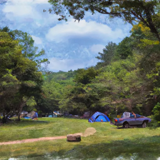
This Earth-type dam primarily serves as a recreational area for water enthusiasts, offering a serene environment for activities such as fishing, boating, and picnicking. With a hydraulic height of 14 feet and a structural height of 18.5 feet, the dam provides a surface area of 0.7 acres and a storage capacity of 5 acre-feet.
Although the dam's primary purpose is recreation, it also plays a crucial role in water resource management for the local community. The dam is regulated by the North Carolina Department of Environmental Quality, Division of Energy, Mineral, and Land Resources Dam Safety Program. However, with a hazard potential rated as high and a poor condition assessment, there are concerns about the dam's safety and the potential risks it poses. The last inspection in 2016 revealed the need for improvements to ensure the dam's structural integrity and safety for both recreational users and the surrounding area.
As water resource and climate enthusiasts, it is important to monitor the condition of Frischholz Dam and advocate for necessary repairs and maintenance to reduce the hazard potential and ensure the safety of the surrounding community. By staying informed about the dam's status, supporting regulatory agencies in their enforcement efforts, and promoting responsible water management practices, we can help preserve this valuable recreational resource while safeguarding against potential risks associated with dam failure.
Dam Length |
90 |
River Or Stream |
Grassy Branch (B) |
Primary Dam Type |
Earth |
Surface Area |
0.7 |
Hydraulic Height |
14 |
Drainage Area |
33 |
Nid Storage |
5 |
Structural Height |
18.5 |
Hazard Potential |
High |
Nid Height |
19 |
Seasonal Comparison
Weather Forecast
Nearby Streamflow Levels
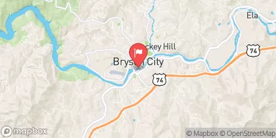 Tuckasegee River At Bryson City
|
897cfs |
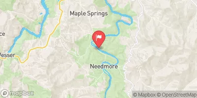 Little Tennessee River At Needmore
|
480cfs |
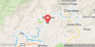 Oconaluftee River At Birdtown
|
265cfs |
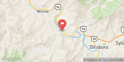 Tuckasegee River At Barker's Creek
|
382cfs |
 Little Tennessee R At Franklin
|
1050cfs |
 Cartoogechaye Creek Near Franklin
|
261cfs |
Dam Data Reference
Condition Assessment
SatisfactoryNo existing or potential dam safety deficiencies are recognized. Acceptable performance is expected under all loading conditions (static, hydrologic, seismic) in accordance with the minimum applicable state or federal regulatory criteria or tolerable risk guidelines.
Fair
No existing dam safety deficiencies are recognized for normal operating conditions. Rare or extreme hydrologic and/or seismic events may result in a dam safety deficiency. Risk may be in the range to take further action. Note: Rare or extreme event is defined by the regulatory agency based on their minimum
Poor A dam safety deficiency is recognized for normal operating conditions which may realistically occur. Remedial action is necessary. POOR may also be used when uncertainties exist as to critical analysis parameters which identify a potential dam safety deficiency. Investigations and studies are necessary.
Unsatisfactory
A dam safety deficiency is recognized that requires immediate or emergency remedial action for problem resolution.
Not Rated
The dam has not been inspected, is not under state or federal jurisdiction, or has been inspected but, for whatever reason, has not been rated.
Not Available
Dams for which the condition assessment is restricted to approved government users.
Hazard Potential Classification
HighDams assigned the high hazard potential classification are those where failure or mis-operation will probably cause loss of human life.
Significant
Dams assigned the significant hazard potential classification are those dams where failure or mis-operation results in no probable loss of human life but can cause economic loss, environment damage, disruption of lifeline facilities, or impact other concerns. Significant hazard potential classification dams are often located in predominantly rural or agricultural areas but could be in areas with population and significant infrastructure.
Low
Dams assigned the low hazard potential classification are those where failure or mis-operation results in no probable loss of human life and low economic and/or environmental losses. Losses are principally limited to the owner's property.
Undetermined
Dams for which a downstream hazard potential has not been designated or is not provided.
Not Available
Dams for which the downstream hazard potential is restricted to approved government users.
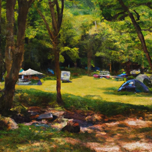
Area Campgrounds
| Location | Reservations | Toilets |
|---|---|---|
 #66 Lower Noland Creek
|
||
 Turkey Creek Campground
|
||
 #67 Goldmine Branch
|
||
 Tsali Campground
|
||
 Tsali
Tsali
|
||
 Tsali Recreation Area
|
 Frischholz Dam
 Natahala Powerhouse To Lake Fontana (River Mile 4)