2026-02-24T00:00:00-05:00
* WHAT...Snow expected above 3500 feet. Total snow accumulations mainly between 3 and 7 inches, with a foot or more possible on the high peaks of the Smokies. Up to an inch is possible in the valleys beneath the Smokies. * WHERE...The high elevations of Swain County. * WHEN...From midnight tonight to midnight EST Monday Night. * IMPACTS...The heavy snow will make many roads impassable, mainly in the higher elevations. The hazardous conditions could impact the Monday morning and evening commutes. * ADDITIONAL DETAILS...Winds gusting from 35 to 45 mph could result in areas of blowing snow and very low visibility in the high elevations Sunday night and Monday.
Summary
The ideal streamflow range for this segment is between 1,000 and 3,000 cubic feet per second (cfs). The segment spans 8 miles and is rated as a Class II-III rapids, making it suitable for intermediate-level paddlers.
There are several notable rapids and obstacles on this stretch of the river. The most famous is the Nantahala Falls, which is a Class III rapid that features a 6-foot drop and a large hydraulic at the bottom. Other notable rapids include the Quarry Rapid and the Surfing Rapid.
There are specific regulations in place for this area. All boaters must obtain a permit from the Nantahala National Forest Service, and there are restrictions on the number of commercial outfitters allowed to operate on the river. Additionally, all boaters must wear a personal flotation device (PFD) and helmets are strongly recommended.
Overall, the Nantahala River run from the Nantahala Powerhouse to Lake Fontana is a popular and exciting whitewater destination for intermediate-level paddlers. It offers a variety of rapids and obstacles, and the regulations in place help to ensure that the area is safe for all visitors.
°F
°F
mph
Wind
%
Humidity
15-Day Weather Outlook
River Run Details
| Last Updated | 2026-02-07 |
| River Levels | 504 cfs (2.29 ft) |
| Percent of Normal | 35% |
| Status | |
| Class Level | ii-iii |
| Elevation | ft |
| Streamflow Discharge | cfs |
| Gauge Height | ft |
| Reporting Streamgage | USGS 03503000 |
5-Day Hourly Forecast Detail
Nearby Streamflow Levels
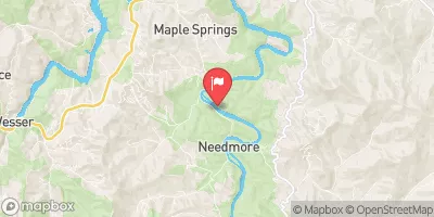 Little Tennessee River At Needmore
|
691cfs |
 Tuckasegee River At Bryson City
|
1200cfs |
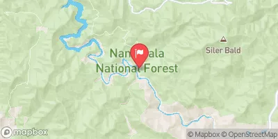 Nantahala River Near Rainbow Springs
|
197cfs |
 Little Tennessee R At Franklin
|
1050cfs |
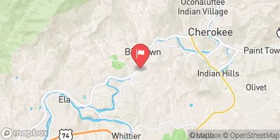 Oconaluftee River At Birdtown
|
482cfs |
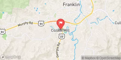 Cartoogechaye Creek Near Franklin
|
261cfs |
Area Campgrounds
| Location | Reservations | Toilets |
|---|---|---|
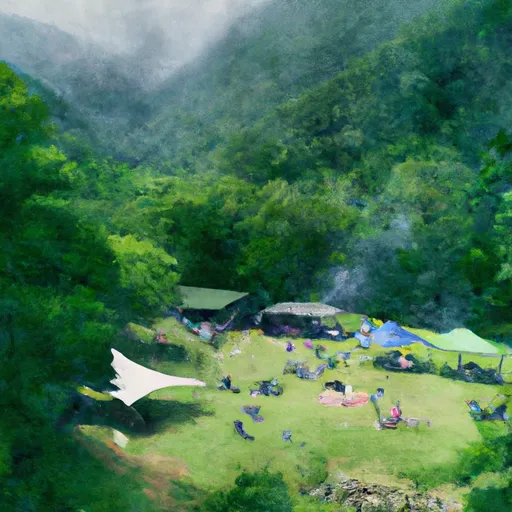 Lost Mine Camp Ground
|
||
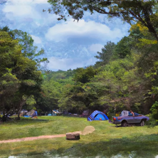 Turkey Creek Campground
|
||
 Tsali Recreation Area
|
||
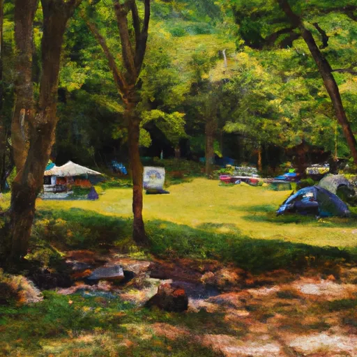 Tsali Campground
|
||
 Tsali
Tsali
|
||
 Ledbetter Creek Camp
|


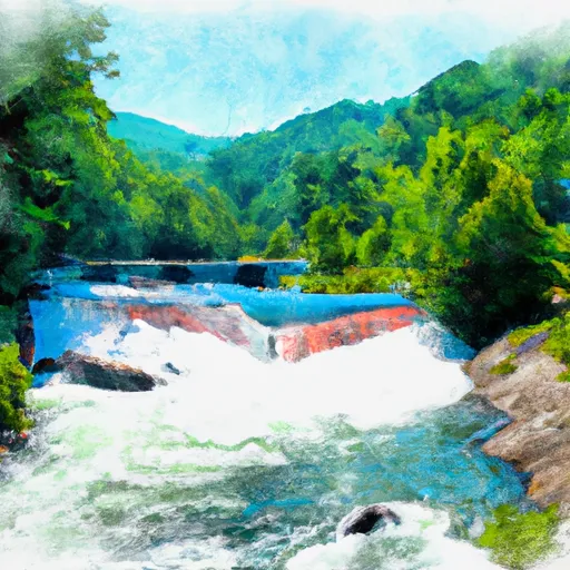 Natahala Powerhouse To Lake Fontana (River Mile 4)