Frd No 12 Reservoir Report
Nearby: Frd No 7 Frd No 13 (Site 7-21)
Last Updated: February 1, 2026
Frd No 12, also known as Lyons Creek Watershed Dam 12, is a locally owned dam located in Lyona, Kansas.
°F
°F
mph
Wind
%
Humidity
15-Day Weather Outlook
Summary
Built in 1974 by the USDA NRCS, this earth dam stands at a height of 32 feet and has a hydraulic height of 26 feet. Its primary purpose is flood risk reduction, serving the Lyon Creek-TR river or stream with a drainage area of 1.8 square miles.
With a storage capacity of 811.72 acre-feet, Frd No 12 covers a surface area of 17.62 acres and has a normal storage level of 69 feet. The dam boasts an uncontrolled spillway with a width of 40 feet, and its hazard potential is rated as low with a moderate risk assessment score of 3. The condition of the dam is currently not rated, and emergency action plans and risk management measures are yet to be documented.
Water resource and climate enthusiasts will find Frd No 12 an intriguing structure for its role in flood risk reduction in the Dickinson County area. Its design and engineering by the USDA NRCS highlight the importance of sustainable infrastructure for water management and environmental protection. As a regulated and inspected dam, Frd No 12 plays a crucial role in mitigating potential flood hazards and ensuring the safety of nearby residents and ecosystems.
Year Completed |
1974 |
Dam Length |
1770 |
Dam Height |
32 |
River Or Stream |
LYON CREEK-TR |
Primary Dam Type |
Earth |
Surface Area |
17.62 |
Hydraulic Height |
26 |
Drainage Area |
1.8 |
Nid Storage |
811.72 |
Structural Height |
32 |
Outlet Gates |
None |
Hazard Potential |
Low |
Foundations |
Unlisted/Unknown |
Nid Height |
32 |
Seasonal Comparison
Hourly Weather Forecast
Nearby Streamflow Levels
 Smoky Hill R At Enterprise
|
377cfs |
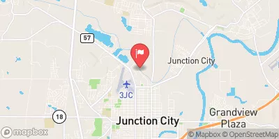
 Lyon C Nr Junction City
|
17cfs |
 Chapman C Nr Chapman
|
16cfs |
 Gypsum C Nr Gypsum
|
15cfs |
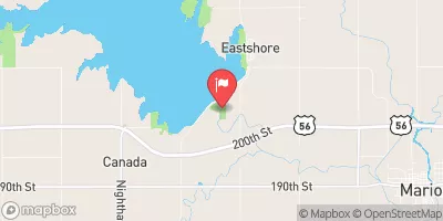 N Cottonwood R Bl Marion Lk
|
2cfs |
 Republican R Bl Milford Dam
|
417cfs |
Dam Data Reference
Condition Assessment
SatisfactoryNo existing or potential dam safety deficiencies are recognized. Acceptable performance is expected under all loading conditions (static, hydrologic, seismic) in accordance with the minimum applicable state or federal regulatory criteria or tolerable risk guidelines.
Fair
No existing dam safety deficiencies are recognized for normal operating conditions. Rare or extreme hydrologic and/or seismic events may result in a dam safety deficiency. Risk may be in the range to take further action. Note: Rare or extreme event is defined by the regulatory agency based on their minimum
Poor A dam safety deficiency is recognized for normal operating conditions which may realistically occur. Remedial action is necessary. POOR may also be used when uncertainties exist as to critical analysis parameters which identify a potential dam safety deficiency. Investigations and studies are necessary.
Unsatisfactory
A dam safety deficiency is recognized that requires immediate or emergency remedial action for problem resolution.
Not Rated
The dam has not been inspected, is not under state or federal jurisdiction, or has been inspected but, for whatever reason, has not been rated.
Not Available
Dams for which the condition assessment is restricted to approved government users.
Hazard Potential Classification
HighDams assigned the high hazard potential classification are those where failure or mis-operation will probably cause loss of human life.
Significant
Dams assigned the significant hazard potential classification are those dams where failure or mis-operation results in no probable loss of human life but can cause economic loss, environment damage, disruption of lifeline facilities, or impact other concerns. Significant hazard potential classification dams are often located in predominantly rural or agricultural areas but could be in areas with population and significant infrastructure.
Low
Dams assigned the low hazard potential classification are those where failure or mis-operation results in no probable loss of human life and low economic and/or environmental losses. Losses are principally limited to the owner's property.
Undetermined
Dams for which a downstream hazard potential has not been designated or is not provided.
Not Available
Dams for which the downstream hazard potential is restricted to approved government users.

 Frd No 12