Andale Frd No A-2 Reservoir Report
Nearby: Dd No 3 Colwich Park Dam
Last Updated: February 21, 2026
Andale Frd No A-2 is a vital structure in Sedgwick, Kansas, designed by the USDA NRCS to mitigate flood risks in the area.
Summary
Completed in 1963, this earth dam stands at a height of 17.6 feet, with a hydraulic height of 21 feet, and a structural height of 24 feet. It serves the primary purpose of flood risk reduction and has a storage capacity of 407.2 acre-feet, with normal storage at 33.9 acre-feet.
Located in Andale, the dam covers a surface area of 9.97 acres and has a drainage area of 0.79 square miles. With a maximum discharge of 2400 cubic feet per second, the dam's uncontrolled spillway is 144 feet wide. Despite being assessed as in fair condition, the dam poses a high hazard potential and undergoes inspections every three years. With its impressive flood risk reduction capabilities and crucial role in water resource management, Andale Frd No A-2 is a key asset in safeguarding the surrounding area from potential flooding events.
°F
°F
mph
Wind
%
Humidity
15-Day Weather Outlook
Year Completed |
1963 |
Dam Length |
1500 |
Dam Height |
17.6 |
Primary Dam Type |
Earth |
Surface Area |
9.97 |
Hydraulic Height |
21 |
Drainage Area |
0.79 |
Nid Storage |
407.2 |
Structural Height |
24 |
Outlet Gates |
None |
Hazard Potential |
High |
Foundations |
Unlisted/Unknown |
Nid Height |
24 |
Seasonal Comparison
5-Day Hourly Forecast Detail
Nearby Streamflow Levels
Dam Data Reference
Condition Assessment
SatisfactoryNo existing or potential dam safety deficiencies are recognized. Acceptable performance is expected under all loading conditions (static, hydrologic, seismic) in accordance with the minimum applicable state or federal regulatory criteria or tolerable risk guidelines.
Fair
No existing dam safety deficiencies are recognized for normal operating conditions. Rare or extreme hydrologic and/or seismic events may result in a dam safety deficiency. Risk may be in the range to take further action. Note: Rare or extreme event is defined by the regulatory agency based on their minimum
Poor A dam safety deficiency is recognized for normal operating conditions which may realistically occur. Remedial action is necessary. POOR may also be used when uncertainties exist as to critical analysis parameters which identify a potential dam safety deficiency. Investigations and studies are necessary.
Unsatisfactory
A dam safety deficiency is recognized that requires immediate or emergency remedial action for problem resolution.
Not Rated
The dam has not been inspected, is not under state or federal jurisdiction, or has been inspected but, for whatever reason, has not been rated.
Not Available
Dams for which the condition assessment is restricted to approved government users.
Hazard Potential Classification
HighDams assigned the high hazard potential classification are those where failure or mis-operation will probably cause loss of human life.
Significant
Dams assigned the significant hazard potential classification are those dams where failure or mis-operation results in no probable loss of human life but can cause economic loss, environment damage, disruption of lifeline facilities, or impact other concerns. Significant hazard potential classification dams are often located in predominantly rural or agricultural areas but could be in areas with population and significant infrastructure.
Low
Dams assigned the low hazard potential classification are those where failure or mis-operation results in no probable loss of human life and low economic and/or environmental losses. Losses are principally limited to the owner's property.
Undetermined
Dams for which a downstream hazard potential has not been designated or is not provided.
Not Available
Dams for which the downstream hazard potential is restricted to approved government users.

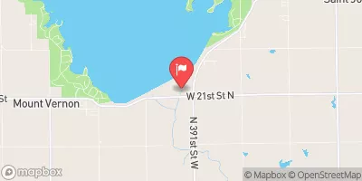
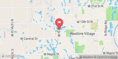
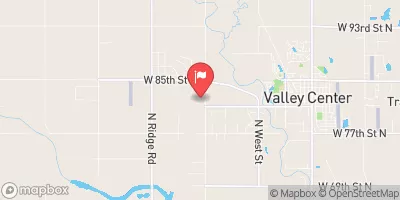
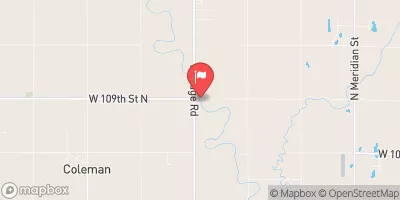
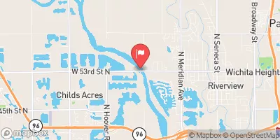
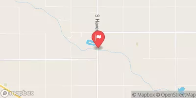
 Andale Frd No A-2
 Cheney Re Nr Cheney
 Wichita - Blackbird Pond
 Wichita - Sunflower Pond
 Cheney Reservoir
 Wichita Buffalo Park