Summary
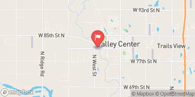
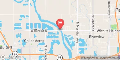
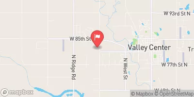
Built in 1979 by USDA NRCS, this structure serves as a flood risk reduction measure along the West Branch Walnut River. With a height of 28 feet and a storage capacity of 580.08 acre-feet, Frd No 5 plays a crucial role in managing water flow and protecting the surrounding area from potential flooding events.
Despite being categorized as having a low hazard potential, Frd No 5 is considered to have a moderate risk profile. The dam features uncontrolled spillways and does not have any outlet gates. It is regulated, permitted, inspected, and enforced by the Kansas Department of Agriculture, ensuring that it meets all state standards and guidelines for dam safety. Additionally, the dam has not been rated for its condition assessment, reflecting the need for ongoing monitoring and maintenance to ensure its long-term effectiveness in flood risk reduction.
With its strategic location and design, Frd No 5 is a key component in the water resource management infrastructure of Butler County, Kansas. As climate change continues to impact water systems and increase the frequency of extreme weather events, the importance of well-maintained dams like Frd No 5 in mitigating flood risks and protecting communities becomes increasingly apparent. Through continued oversight and adherence to safety protocols, Frd No 5 exemplifies the essential role that dams play in safeguarding water resources and enhancing resilience to climate-related challenges.
°F
°F
mph
Wind
%
Humidity
15-Day Weather Outlook
Year Completed |
1979 |
Dam Length |
1310 |
Dam Height |
28 |
River Or Stream |
WEST BRANCH WALNUT RIVER-TR |
Primary Dam Type |
Earth |
Surface Area |
9.88 |
Hydraulic Height |
24 |
Drainage Area |
1.2 |
Nid Storage |
580.08 |
Structural Height |
28 |
Outlet Gates |
None |
Hazard Potential |
Low |
Foundations |
Unlisted/Unknown |
Nid Height |
28 |
Seasonal Comparison
5-Day Hourly Forecast Detail
Nearby Streamflow Levels
 Whitewater R At Towanda
|
125cfs |
 Cedar C Nr Cedar Point
|
64cfs |
 Cottonwood R Nr Florence
|
251cfs |
 L Arkansas R At Valley Center
|
95cfs |
 Arkansas R Nr Maize
|
203cfs |
 Floodway At L Arkansas R At Valley Center
|
0cfs |
Dam Data Reference
Condition Assessment
SatisfactoryNo existing or potential dam safety deficiencies are recognized. Acceptable performance is expected under all loading conditions (static, hydrologic, seismic) in accordance with the minimum applicable state or federal regulatory criteria or tolerable risk guidelines.
Fair
No existing dam safety deficiencies are recognized for normal operating conditions. Rare or extreme hydrologic and/or seismic events may result in a dam safety deficiency. Risk may be in the range to take further action. Note: Rare or extreme event is defined by the regulatory agency based on their minimum
Poor A dam safety deficiency is recognized for normal operating conditions which may realistically occur. Remedial action is necessary. POOR may also be used when uncertainties exist as to critical analysis parameters which identify a potential dam safety deficiency. Investigations and studies are necessary.
Unsatisfactory
A dam safety deficiency is recognized that requires immediate or emergency remedial action for problem resolution.
Not Rated
The dam has not been inspected, is not under state or federal jurisdiction, or has been inspected but, for whatever reason, has not been rated.
Not Available
Dams for which the condition assessment is restricted to approved government users.
Hazard Potential Classification
HighDams assigned the high hazard potential classification are those where failure or mis-operation will probably cause loss of human life.
Significant
Dams assigned the significant hazard potential classification are those dams where failure or mis-operation results in no probable loss of human life but can cause economic loss, environment damage, disruption of lifeline facilities, or impact other concerns. Significant hazard potential classification dams are often located in predominantly rural or agricultural areas but could be in areas with population and significant infrastructure.
Low
Dams assigned the low hazard potential classification are those where failure or mis-operation results in no probable loss of human life and low economic and/or environmental losses. Losses are principally limited to the owner's property.
Undetermined
Dams for which a downstream hazard potential has not been designated or is not provided.
Not Available
Dams for which the downstream hazard potential is restricted to approved government users.

 Frd No 5