Summary
With a dam height of 33.3 feet and a storage capacity of 1359.2 acre-feet, this earth dam plays a crucial role in mitigating flood risks in the region. The dam is state-regulated by the Kansas Department of Agriculture and undergoes regular inspections to ensure its fair condition and significant hazard potential are managed effectively.
Despite being a relatively small structure with a drainage area of 3.59 square miles, Frd No 16 has a moderate risk assessment rating of 3. Its uncontrolled spillway and lack of outlet gates highlight the need for careful monitoring and maintenance to prevent potential emergencies. With the assistance of the Natural Resources Conservation Service as the primary designer, this dam continues to serve its primary purpose of flood risk reduction while contributing to the sustainability of the Fifth Creek-TR watershed.
As climate change intensifies and water resources become increasingly strained, structures like Frd No 16 are invaluable in safeguarding communities from the impacts of extreme weather events. The collaboration between local governments, federal agencies, and regulatory bodies in overseeing the operation and maintenance of this dam underscores the importance of proactive risk management in the face of evolving environmental challenges.
°F
°F
mph
Wind
%
Humidity
15-Day Weather Outlook
Year Completed |
1981 |
Dam Length |
1390 |
Dam Height |
33.3 |
River Or Stream |
FIFTH CREEK-TR |
Primary Dam Type |
Earth |
Surface Area |
22.8 |
Drainage Area |
3.59 |
Nid Storage |
1359.2 |
Outlet Gates |
None |
Hazard Potential |
Significant |
Foundations |
Unlisted/Unknown |
Nid Height |
33 |
Seasonal Comparison
5-Day Hourly Forecast Detail
Nearby Streamflow Levels
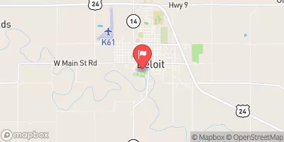 Solomon R At Beloit
|
16cfs |
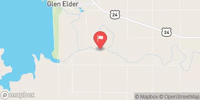 Solomon R Nr Glen Elder
|
16cfs |
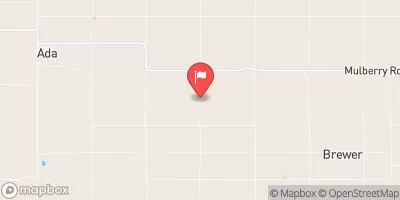 Salt C Nr Ada
|
25cfs |
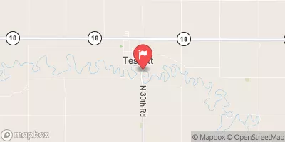 Saline R At Tescott
|
23cfs |
 Solomon R Nr Minneapolis
|
40cfs |
 Saline R At Wilson Dam
|
7cfs |
Dam Data Reference
Condition Assessment
SatisfactoryNo existing or potential dam safety deficiencies are recognized. Acceptable performance is expected under all loading conditions (static, hydrologic, seismic) in accordance with the minimum applicable state or federal regulatory criteria or tolerable risk guidelines.
Fair
No existing dam safety deficiencies are recognized for normal operating conditions. Rare or extreme hydrologic and/or seismic events may result in a dam safety deficiency. Risk may be in the range to take further action. Note: Rare or extreme event is defined by the regulatory agency based on their minimum
Poor A dam safety deficiency is recognized for normal operating conditions which may realistically occur. Remedial action is necessary. POOR may also be used when uncertainties exist as to critical analysis parameters which identify a potential dam safety deficiency. Investigations and studies are necessary.
Unsatisfactory
A dam safety deficiency is recognized that requires immediate or emergency remedial action for problem resolution.
Not Rated
The dam has not been inspected, is not under state or federal jurisdiction, or has been inspected but, for whatever reason, has not been rated.
Not Available
Dams for which the condition assessment is restricted to approved government users.
Hazard Potential Classification
HighDams assigned the high hazard potential classification are those where failure or mis-operation will probably cause loss of human life.
Significant
Dams assigned the significant hazard potential classification are those dams where failure or mis-operation results in no probable loss of human life but can cause economic loss, environment damage, disruption of lifeline facilities, or impact other concerns. Significant hazard potential classification dams are often located in predominantly rural or agricultural areas but could be in areas with population and significant infrastructure.
Low
Dams assigned the low hazard potential classification are those where failure or mis-operation results in no probable loss of human life and low economic and/or environmental losses. Losses are principally limited to the owner's property.
Undetermined
Dams for which a downstream hazard potential has not been designated or is not provided.
Not Available
Dams for which the downstream hazard potential is restricted to approved government users.

 Frd No 16