12-8 Reservoir Report
Nearby: Dd No 12-12 Site 12-7
Last Updated: February 24, 2026
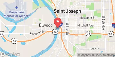
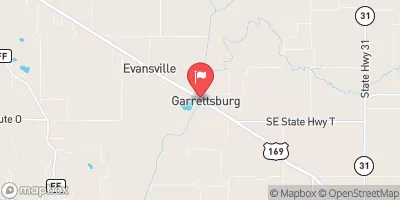
Located in Brown County, Kansas, the 12-8 dam stands as a critical flood risk reduction structure along the South Fork of Wolf River.
Summary
Built in 2004 by the USDA NRCS, this earth dam reaches a height of 38 feet and stretches 970 feet in length. With a storage capacity of 1225.7 acre-feet and a drainage area of 1.83 square miles, the dam plays a vital role in protecting the surrounding area from potential flooding.
Managed by the Kansas Department of Agriculture, the 12-8 dam is regulated, inspected, and enforced to ensure its structural integrity and operational effectiveness. The dam's spillway type is uncontrolled, with a spillway width of 100 feet, allowing for a maximum discharge of 4473 cubic feet per second. Despite its significant hazard potential, the dam's condition assessment remains satisfactory, indicating its current state of readiness for flood events.
With a moderate risk assessment rating, the 12-8 dam serves as a crucial flood risk reduction asset in the region, providing protection against potential inundation. As water resource and climate enthusiasts, understanding the functionality and importance of structures like the 12-8 dam is essential in safeguarding communities and ecosystems from the impacts of extreme weather events and ensuring sustainable water management practices in the face of a changing climate.
°F
°F
mph
Wind
%
Humidity
15-Day Weather Outlook
Year Completed |
2004 |
Dam Length |
970 |
Dam Height |
38 |
River Or Stream |
SOUTH FORK OF WOLF RIVER |
Primary Dam Type |
Earth |
Surface Area |
25.08 |
Drainage Area |
1.83 |
Nid Storage |
1225.7 |
Outlet Gates |
None |
Hazard Potential |
Significant |
Foundations |
Unlisted/Unknown |
Nid Height |
38 |
Seasonal Comparison
5-Day Hourly Forecast Detail
Nearby Streamflow Levels
 Delaware R Nr Muscotah
|
30cfs |
 Stranger C Nr Potter
|
199cfs |
 Missouri River At St. Joseph
|
24000cfs |
 Missouri River At Rulo
|
23500cfs |
 Big Nemaha River At Falls City
|
99cfs |
 Platte River Near Agency
|
91cfs |
Dam Data Reference
Condition Assessment
SatisfactoryNo existing or potential dam safety deficiencies are recognized. Acceptable performance is expected under all loading conditions (static, hydrologic, seismic) in accordance with the minimum applicable state or federal regulatory criteria or tolerable risk guidelines.
Fair
No existing dam safety deficiencies are recognized for normal operating conditions. Rare or extreme hydrologic and/or seismic events may result in a dam safety deficiency. Risk may be in the range to take further action. Note: Rare or extreme event is defined by the regulatory agency based on their minimum
Poor A dam safety deficiency is recognized for normal operating conditions which may realistically occur. Remedial action is necessary. POOR may also be used when uncertainties exist as to critical analysis parameters which identify a potential dam safety deficiency. Investigations and studies are necessary.
Unsatisfactory
A dam safety deficiency is recognized that requires immediate or emergency remedial action for problem resolution.
Not Rated
The dam has not been inspected, is not under state or federal jurisdiction, or has been inspected but, for whatever reason, has not been rated.
Not Available
Dams for which the condition assessment is restricted to approved government users.
Hazard Potential Classification
HighDams assigned the high hazard potential classification are those where failure or mis-operation will probably cause loss of human life.
Significant
Dams assigned the significant hazard potential classification are those dams where failure or mis-operation results in no probable loss of human life but can cause economic loss, environment damage, disruption of lifeline facilities, or impact other concerns. Significant hazard potential classification dams are often located in predominantly rural or agricultural areas but could be in areas with population and significant infrastructure.
Low
Dams assigned the low hazard potential classification are those where failure or mis-operation results in no probable loss of human life and low economic and/or environmental losses. Losses are principally limited to the owner's property.
Undetermined
Dams for which a downstream hazard potential has not been designated or is not provided.
Not Available
Dams for which the downstream hazard potential is restricted to approved government users.

 12-8
12-8