Susan Case Dam dam

Susan Case Dam
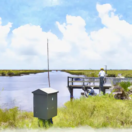
Susan Case Dam, located in Fishville, Louisiana, is a private Earth dam primarily used for fire protection, stock, and small fish pond purposes. The dam, standing at 8 feet tall with a hydraulic height of 6 feet, spans 420 feet in length and has a storage capacity of 93 acre-feet. Situated on TR-Big Creek in Grant County, Louisiana, this structure is regulated by the Louisiana Department of Transportation and Development, with state permitting, inspection, and enforcement in place.
Despite its low hazard potential, Susan Case Dam is currently assessed as being in poor condition as of the last inspection in March 2021. The dam has a moderate risk rating of 3, prompting the need for risk management measures to ensure its continued safety and functionality. Although no specific modifications or improvements have been recorded, the structure's maintenance and upkeep are crucial to mitigate any potential risks associated with its current condition.
Water resource and climate enthusiasts interested in the maintenance and regulation of dams will find Susan Case Dam a compelling case study. With its unique design features, associated purposes, and state-regulated status, this structure serves as an important example of the intersection between human infrastructure and natural water systems. As efforts continue to address its current condition and risk assessment, the future of Susan Case Dam will be closely monitored for sustainable water resource management in the region.
Plan around the weather
Same NOAA / yr.no feed Snoflo's iOS app uses. Watch the precipitation column on the meteogram -- rain on the basin upstream typically lifts inflow 24-72 hours later.
Next 5 days, hour by hour
Temperature line with weather symbols on top, snow + rain accumulation as columns, humidity as a dotted line.
5-day forecast table
Every 3 hours, broken out across temperature, snow, rain, humidity, and wind. Each cell is colour-coded relative to the column min/max.
| Time | Condition | Temp (°F) | Snow (in) | Rain (in) | Humidity (%) | Wind (mps) | Wind dir |
|---|---|---|---|---|---|---|---|
| Loading detailed forecast… | |||||||
15-day temperature & precipitation
Daily temperatures, snow, and rain projected over the next two weeks.
Nearby streamflow gauges
USGS streamgauges around Susan Case Dam -- inflows here typically show up in storage 24-72 hours later.
| Streamgauge | Discharge | View |
|---|---|---|
| Big Creek At Pollock | 109 cfs | → |
| Little River Near Rochelle | 1,220 cfs | → |
| Dugdemona River Near Joyce | 36 cfs | → |
| Bayou Cocodrie Nr Clearwater | 812 cfs | → |
| Bayou Des Glaises Diversion Ch. At Moreauville | 1,460 cfs | → |
| Calcasieu River Nr Glenmora | 978 cfs | → |


About Susan Case Dam
Where does the data for Susan Case Dam come from?
Structural and regulatory data come from the U.S. Army Corps of Engineers' National Inventory of Dams (NID). Weather forecast comes from NOAA / yr.no -- the same feed Snoflo's iOS app uses.
How often is the report updated?
NID structural data refreshes annually as the Corps publishes updated assessments. The weather forecast refreshes throughout the day.
What does the Low hazard rating mean?
The Corps of Engineers' hazard potential classification grades probable consequences if the dam fails: High = probable loss of human life; Significant = no probable loss of human life but possible economic loss / environmental damage; Low = no probable loss of human life, only minor economic / environmental losses. See the Dam Data Reference card below for the full definitions.
What's "% of normal"?
The current storage value compared to the historical average storage on this calendar day. 100% = right on average; values above 100% mean above-normal storage (wet year); values below mean below-normal (dry year or drought).
Can I get alerts when storage crosses a threshold?
Yes -- alerts are managed in the Snoflo iOS app. Favorite this dam, set a threshold, and you'll get a push the moment conditions cross.
Dam data reference
Condition Assessment
- Satisfactory
- No existing or potential dam safety deficiencies are recognized. Acceptable performance is expected under all loading conditions (static, hydrologic, seismic) in accordance with the minimum applicable state or federal regulatory criteria or tolerable risk guidelines.
- Fair
- No existing dam safety deficiencies are recognized for normal operating conditions. Rare or extreme hydrologic and/or seismic events may result in a dam safety deficiency. Risk may be in the range to take further action.
- Poor
- A dam safety deficiency is recognized for normal operating conditions which may realistically occur. Remedial action is necessary. POOR may also be used when uncertainties exist as to critical analysis parameters which identify a potential dam safety deficiency.
- Unsatisfactory
- A dam safety deficiency is recognized that requires immediate or emergency remedial action for problem resolution.
- Not Rated
- The dam has not been inspected, is not under state or federal jurisdiction, or has been inspected but, for whatever reason, has not been rated.
Hazard Potential Classification
- High
- Dams assigned the high hazard potential classification are those where failure or mis-operation will probably cause loss of human life.
- Significant
- Dams assigned the significant hazard potential classification are those dams where failure or mis-operation results in no probable loss of human life but can cause economic loss, environmental damage, disruption of lifeline facilities, or impact other concerns. Significant hazard potential classification dams are often located in predominantly rural or agricultural areas but could be in areas with population and significant infrastructure.
- Low
- Dams assigned the low hazard potential classification are those where failure or mis-operation results in no probable loss of human life and low economic and/or environmental losses. Losses are principally limited to the owner's property.
- Undetermined
- Dams for which a downstream hazard potential has not been designated or is not provided.