


Grand Rapids Reservoir Report
Last Updated: April 26, 2026
°F
°F
mph
Wind
%
Humidity
Grand Rapids, located in Marinette, Wisconsin, along the Menominee River, is a privately owned hydroelectric dam completed in 1909.
Summary
With a gravity dam type and a height of 40 feet, Grand Rapids serves the primary purpose of generating hydroelectric power. Its structure spans 1,410 feet and provides a storage capacity of 3,900 acre-feet, with a normal storage level of 2,500 acre-feet. The dam has a high hazard potential and a very high risk assessment rating, making it a critical asset in the region's water resource management.
Despite being privately owned, Grand Rapids is state-regulated and permitted for operation. The dam has not been inspected since 2008, with a scheduled inspection frequency of every two years. It is situated in a picturesque location with a surface area of 354 acres and a drainage area of 3,867 square miles. The dam's spillway type is controlled, ensuring proper water flow management during peak discharge periods. The risk management measures and emergency action plan for Grand Rapids are crucial in safeguarding the surrounding communities in the event of an emergency.
In the political landscape, Grand Rapids falls under the jurisdiction of the Chicago District of the US Army Corps of Engineers. The dam has historical significance, with modifications dating back to 1923. With a high structural height of 40 feet and a hydraulic height of 29 feet, Grand Rapids stands as a testament to early 20th-century engineering ingenuity. Climate and water resource enthusiasts will find Grand Rapids to be a fascinating case study in hydroelectric infrastructure and the intersection of human development with natural ecosystems.
Regional Streamflow Levels
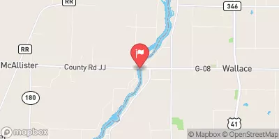 Menominee River Near Mc Allister
|
15100cfs |
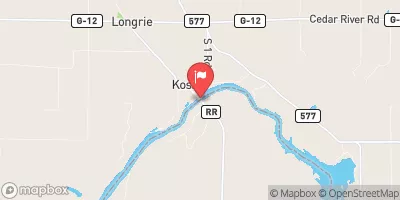 Menominee River At Koss
|
14500cfs |
 Menominee River At White Rapids Dam Near Banat
|
12800cfs |
 Menominee River Below Pemene Creek Near Pembine
|
12700cfs |
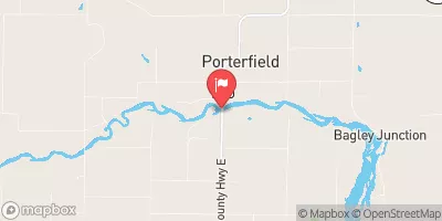 Peshtigo River At Porterfield
|
2220cfs |
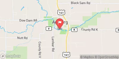 Pike River At Amberg
|
470cfs |
15-Day Long Term Forecast
Years Modified |
1923 - Other |
Year Completed |
1909 |
Dam Length |
1410 |
Dam Height |
40 |
River Or Stream |
MENOMINEE |
Primary Dam Type |
Gravity |
Surface Area |
354 |
Hydraulic Height |
29 |
Drainage Area |
3867 |
Nid Storage |
3900 |
Structural Height |
40 |
Hazard Potential |
High |
Nid Height |
40 |
Seasonal Comparison
5-Day Hourly Forecast Detail
Dam Data Reference
Condition Assessment
SatisfactoryNo existing or potential dam safety deficiencies are recognized. Acceptable performance is expected under all loading conditions (static, hydrologic, seismic) in accordance with the minimum applicable state or federal regulatory criteria or tolerable risk guidelines.
Fair
No existing dam safety deficiencies are recognized for normal operating conditions. Rare or extreme hydrologic and/or seismic events may result in a dam safety deficiency. Risk may be in the range to take further action. Note: Rare or extreme event is defined by the regulatory agency based on their minimum
Poor A dam safety deficiency is recognized for normal operating conditions which may realistically occur. Remedial action is necessary. POOR may also be used when uncertainties exist as to critical analysis parameters which identify a potential dam safety deficiency. Investigations and studies are necessary.
Unsatisfactory
A dam safety deficiency is recognized that requires immediate or emergency remedial action for problem resolution.
Not Rated
The dam has not been inspected, is not under state or federal jurisdiction, or has been inspected but, for whatever reason, has not been rated.
Not Available
Dams for which the condition assessment is restricted to approved government users.
Hazard Potential Classification
HighDams assigned the high hazard potential classification are those where failure or mis-operation will probably cause loss of human life.
Significant
Dams assigned the significant hazard potential classification are those dams where failure or mis-operation results in no probable loss of human life but can cause economic loss, environment damage, disruption of lifeline facilities, or impact other concerns. Significant hazard potential classification dams are often located in predominantly rural or agricultural areas but could be in areas with population and significant infrastructure.
Low
Dams assigned the low hazard potential classification are those where failure or mis-operation results in no probable loss of human life and low economic and/or environmental losses. Losses are principally limited to the owner's property.
Undetermined
Dams for which a downstream hazard potential has not been designated or is not provided.
Not Available
Dams for which the downstream hazard potential is restricted to approved government users.
 Grand Rapids Flowage -- Access Grand Rapids Rd