


Sturgeon Falls Reservoir Report
Last Updated: May 3, 2026
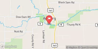
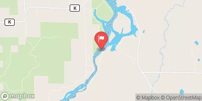
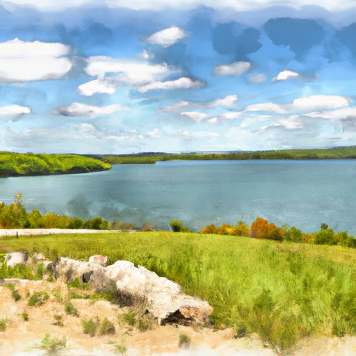
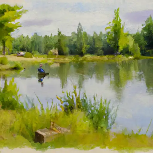
Nearby: Sturgeon Falls Mary Lake Dam
°F
°F
mph
Wind
%
Humidity
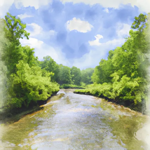
Sturgeon Falls in Marinette, Wisconsin, is a hydroelectric dam with a rich history dating back to its completion in 1906.
Summary
Situated on the Menominee River, this gravity dam serves multiple purposes, including hydroelectric power generation and recreation. With a dam height of 38 feet and a structural height of 38 feet, Sturgeon Falls boasts a storage capacity of 3940 acre-feet and a drainage area of 3014 square miles.
Despite its age, Sturgeon Falls has a low hazard potential and is currently not rated for its condition. However, the risk assessment for this dam is classified as very high, indicating the importance of ongoing monitoring and maintenance. While the dam may not have been inspected recently, it is reassuring to know that emergency action plans are in place and updated regularly to ensure the safety of the surrounding community in case of any unforeseen events.
For water resource and climate enthusiasts, Sturgeon Falls offers a fascinating glimpse into the intersection of human engineering and environmental stewardship. As a key player in the local energy landscape, this dam on the Menominee River stands as a testament to the enduring legacy of hydroelectric power and the ongoing efforts to balance resource utilization with ecological sustainability in Wisconsin.
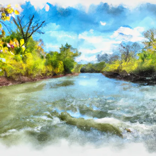
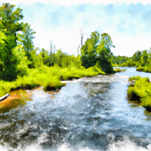
Regional Streamflow Levels
 Menominee River Near Vulcan
|
6150cfs |
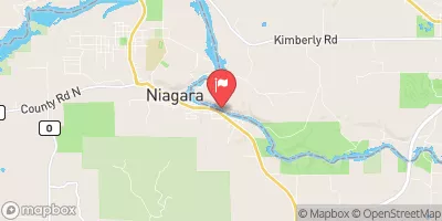 Menominee River At Niagara
|
5210cfs |
 Menominee River Below Pemene Creek Near Pembine
|
6880cfs |
 Menominee River At Twin Falls Near Iron Mt
|
3420cfs |
 Pike River At Amberg
|
355cfs |
 Menominee River At White Rapids Dam Near Banat
|
6910cfs |
15-Day Long Term Forecast
Year Completed |
1906 |
Dam Length |
700 |
Dam Height |
38 |
River Or Stream |
MENOMINEE |
Primary Dam Type |
Gravity |
Surface Area |
275 |
Hydraulic Height |
27 |
Drainage Area |
3014 |
Nid Storage |
3940 |
Structural Height |
38 |
Hazard Potential |
Low |
Nid Height |
38 |
Seasonal Comparison
5-Day Hourly Forecast Detail
Dam Data Reference
Condition Assessment
SatisfactoryNo existing or potential dam safety deficiencies are recognized. Acceptable performance is expected under all loading conditions (static, hydrologic, seismic) in accordance with the minimum applicable state or federal regulatory criteria or tolerable risk guidelines.
Fair
No existing dam safety deficiencies are recognized for normal operating conditions. Rare or extreme hydrologic and/or seismic events may result in a dam safety deficiency. Risk may be in the range to take further action. Note: Rare or extreme event is defined by the regulatory agency based on their minimum
Poor A dam safety deficiency is recognized for normal operating conditions which may realistically occur. Remedial action is necessary. POOR may also be used when uncertainties exist as to critical analysis parameters which identify a potential dam safety deficiency. Investigations and studies are necessary.
Unsatisfactory
A dam safety deficiency is recognized that requires immediate or emergency remedial action for problem resolution.
Not Rated
The dam has not been inspected, is not under state or federal jurisdiction, or has been inspected but, for whatever reason, has not been rated.
Not Available
Dams for which the condition assessment is restricted to approved government users.
Hazard Potential Classification
HighDams assigned the high hazard potential classification are those where failure or mis-operation will probably cause loss of human life.
Significant
Dams assigned the significant hazard potential classification are those dams where failure or mis-operation results in no probable loss of human life but can cause economic loss, environment damage, disruption of lifeline facilities, or impact other concerns. Significant hazard potential classification dams are often located in predominantly rural or agricultural areas but could be in areas with population and significant infrastructure.
Low
Dams assigned the low hazard potential classification are those where failure or mis-operation results in no probable loss of human life and low economic and/or environmental losses. Losses are principally limited to the owner's property.
Undetermined
Dams for which a downstream hazard potential has not been designated or is not provided.
Not Available
Dams for which the downstream hazard potential is restricted to approved government users.
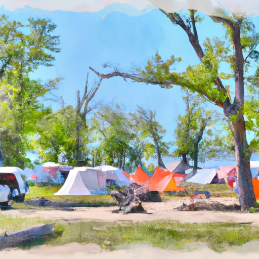
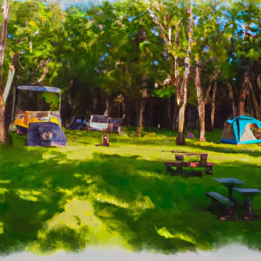
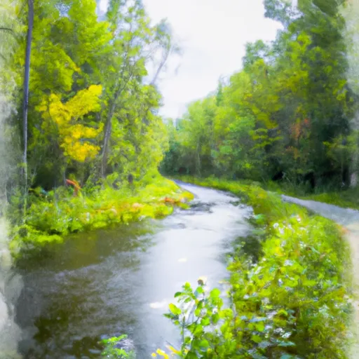
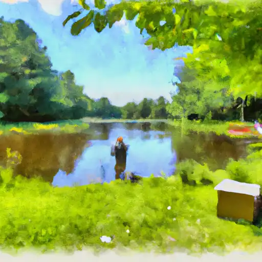
Area Campgrounds
 River Bends Campground
 Summer Breeze Campground
 New Prospect - Kettle Moraine State Forest
 Twelve Foot Falls County Park
 Gene's Pond State Forest Campground
 Evergreen City Park
 Schweitzer Reservoir Near Palmer
 Greenwood Reservoir Near Greenwood
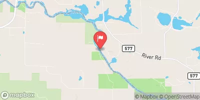
 River Road Norway Township
River Runs
-
 Forest Road 2398 To Eastern Forest Boundary
-
 Confluence With Armstrong Creek To Sec 12/13 Line, T35N, R16E
-
 Brule Lake In Ne1/4 Sec 15, T41N, R13E To Forest Boundary In Se1/4 Sec 31, T41N, R17E
-
 Sec 12/13 Line, T35N, R16E To Forest Boundary In Sec 24, T35N, R16E
-
 Forest Road 2156 To Eastern Forest Boundary
-
 1/4 Mile Upstream From Evans Bridge To Confluence With Armstrong Creek
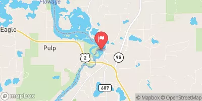
 Twin Falls Flowage
 Shakey Lakes
 Gene Pond
 Peavy Pond
 Green Bay