


Stewart Dam Reservoir Report
Last Updated: April 24, 2026
Nearby: Hardin Dam Shimek Forest Dam 1
°F
°F
mph
Wind
%
Humidity
Stewart Dam, located in St.
Summary
Francisville, Iowa, is a privately owned earth dam designed by the USDA NRCS and completed in 1989. Standing at a height of 28 feet and stretching 270 feet in length, this dam serves multiple purposes including fire protection and providing a small fish pond. The dam has a storage capacity of 46 acre-feet and covers a surface area of 3.9 acres, with a drainage area of 0.08 square miles.
Managed by the Iowa DNR, Stewart Dam is regulated and inspected regularly to ensure its structural integrity and safety. With a low hazard potential and a moderate risk assessment rating, the dam is deemed to be in satisfactory condition. While currently not rated for its condition assessment, the dam has not undergone any modifications since its construction and does not have an Emergency Action Plan (EAP) in place. Overall, Stewart Dam serves as a vital resource for water conservation and management in the area, contributing to the local ecosystem and providing recreational opportunities for residents and wildlife alike.
Regional Streamflow Levels
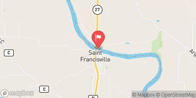 Des Moines River At St. Francisville
|
13600cfs |
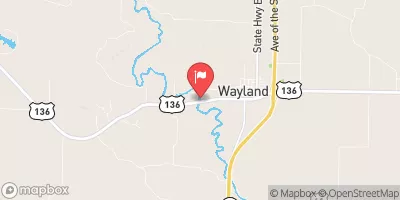 Fox River At Wayland
|
198cfs |
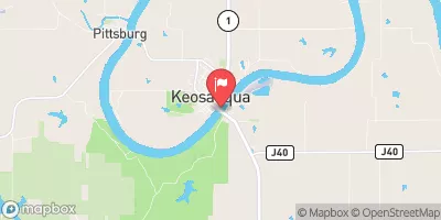 Des Moines River At Keosauqua
|
12500cfs |
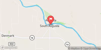 Skunk River At Augusta
|
8310cfs |
 Cedar Creek Near Oakland Mills
|
167cfs |
 Big Creek Near Mt. Pleasant
|
46cfs |
15-Day Long Term Forecast
Year Completed |
1989 |
Dam Length |
270 |
Dam Height |
28 |
River Or Stream |
TR- GRANTS CREEK |
Primary Dam Type |
Earth |
Surface Area |
3.9 |
Drainage Area |
0.08 |
Nid Storage |
46 |
Hazard Potential |
Low |
Foundations |
Soil |
Nid Height |
28 |
Seasonal Comparison
5-Day Hourly Forecast Detail
Dam Data Reference
Condition Assessment
SatisfactoryNo existing or potential dam safety deficiencies are recognized. Acceptable performance is expected under all loading conditions (static, hydrologic, seismic) in accordance with the minimum applicable state or federal regulatory criteria or tolerable risk guidelines.
Fair
No existing dam safety deficiencies are recognized for normal operating conditions. Rare or extreme hydrologic and/or seismic events may result in a dam safety deficiency. Risk may be in the range to take further action. Note: Rare or extreme event is defined by the regulatory agency based on their minimum
Poor A dam safety deficiency is recognized for normal operating conditions which may realistically occur. Remedial action is necessary. POOR may also be used when uncertainties exist as to critical analysis parameters which identify a potential dam safety deficiency. Investigations and studies are necessary.
Unsatisfactory
A dam safety deficiency is recognized that requires immediate or emergency remedial action for problem resolution.
Not Rated
The dam has not been inspected, is not under state or federal jurisdiction, or has been inspected but, for whatever reason, has not been rated.
Not Available
Dams for which the condition assessment is restricted to approved government users.
Hazard Potential Classification
HighDams assigned the high hazard potential classification are those where failure or mis-operation will probably cause loss of human life.
Significant
Dams assigned the significant hazard potential classification are those dams where failure or mis-operation results in no probable loss of human life but can cause economic loss, environment damage, disruption of lifeline facilities, or impact other concerns. Significant hazard potential classification dams are often located in predominantly rural or agricultural areas but could be in areas with population and significant infrastructure.
Low
Dams assigned the low hazard potential classification are those where failure or mis-operation results in no probable loss of human life and low economic and/or environmental losses. Losses are principally limited to the owner's property.
Undetermined
Dams for which a downstream hazard potential has not been designated or is not provided.
Not Available
Dams for which the downstream hazard potential is restricted to approved government users.
Area Campgrounds
| Location | Reservations | Toilets |
|---|---|---|
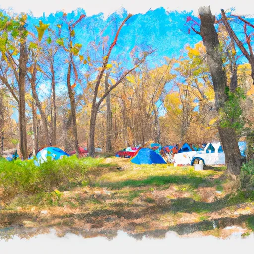 Shimek State Forest
|
||
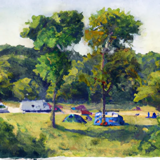 Battle of Athens State Park
|
||
 Indian Lake Park
|