
Helton Lake Dam Reservoir Report
Nearby: Water Mill Lake Dam Prock's Dam
Last Updated: January 12, 2026
Helton Lake Dam, located in Miller County, Missouri, is a private earth dam with a buttress core type standing at 30 feet in height.
°F
°F
mph
Wind
%
Humidity
Summary
This dam serves as a crucial water resource, providing a maximum storage capacity of 60 acre-feet and a normal storage capacity of 50 acre-feet. With a drainage area of 240 square miles, the dam plays a significant role in controlling water flow and ensuring water supply for the surrounding areas.
Despite not being regulated by the state and lacking extensive information on its construction year and purposes, Helton Lake Dam has a high hazard potential due to its condition assessment being labeled as "Not Rated". While the dam has not been inspected recently, it is imperative to address any potential risks and implement appropriate risk management measures to ensure the safety and integrity of the structure. With a captivating location near the confluence of the Tucker Hollow and Gravois Creeks, enthusiasts of water resources and climate will find Helton Lake Dam an intriguing site to explore and study in the context of sustainable water management and climate resilience.
Dam Height |
30 |
Surface Area |
5 |
Drainage Area |
240 |
Nid Storage |
60 |
Hazard Potential |
High |
Foundations |
Unlisted/Unknown |
Nid Height |
30 |
Seasonal Comparison
Weather Forecast
Nearby Streamflow Levels
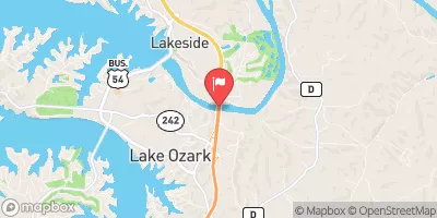 Osage River Near Bagnell
|
1010cfs |
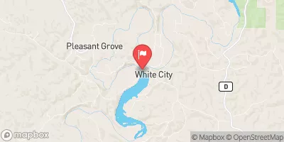
 Osage River Below St. Thomas
|
1190cfs |
 Niangua River At Tunnel Dam Near Macks Creek
|
178cfs |
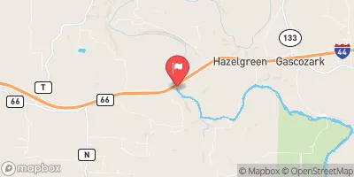 Gasconade River Near Hazelgreen
|
93cfs |
 Moreau River Near Jefferson City
|
22cfs |
 Gasconade River At Jerome
|
631cfs |
Dam Data Reference
Condition Assessment
SatisfactoryNo existing or potential dam safety deficiencies are recognized. Acceptable performance is expected under all loading conditions (static, hydrologic, seismic) in accordance with the minimum applicable state or federal regulatory criteria or tolerable risk guidelines.
Fair
No existing dam safety deficiencies are recognized for normal operating conditions. Rare or extreme hydrologic and/or seismic events may result in a dam safety deficiency. Risk may be in the range to take further action. Note: Rare or extreme event is defined by the regulatory agency based on their minimum
Poor A dam safety deficiency is recognized for normal operating conditions which may realistically occur. Remedial action is necessary. POOR may also be used when uncertainties exist as to critical analysis parameters which identify a potential dam safety deficiency. Investigations and studies are necessary.
Unsatisfactory
A dam safety deficiency is recognized that requires immediate or emergency remedial action for problem resolution.
Not Rated
The dam has not been inspected, is not under state or federal jurisdiction, or has been inspected but, for whatever reason, has not been rated.
Not Available
Dams for which the condition assessment is restricted to approved government users.
Hazard Potential Classification
HighDams assigned the high hazard potential classification are those where failure or mis-operation will probably cause loss of human life.
Significant
Dams assigned the significant hazard potential classification are those dams where failure or mis-operation results in no probable loss of human life but can cause economic loss, environment damage, disruption of lifeline facilities, or impact other concerns. Significant hazard potential classification dams are often located in predominantly rural or agricultural areas but could be in areas with population and significant infrastructure.
Low
Dams assigned the low hazard potential classification are those where failure or mis-operation results in no probable loss of human life and low economic and/or environmental losses. Losses are principally limited to the owner's property.
Undetermined
Dams for which a downstream hazard potential has not been designated or is not provided.
Not Available
Dams for which the downstream hazard potential is restricted to approved government users.
 Helton Lake Dam
 Miller County