Tow Dam

Tow
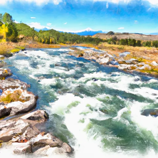
Located in Hill County, Montana, the Tow, Wilfred dam stands as a testament to sustainable water resource management. Constructed in 1952 by the USDA NRCS, this earth dam serves a primary purpose of irrigation, with a storage capacity of 175 acre-feet. Situated on the Gravel Coulee river, the dam plays a crucial role in supporting agricultural activities in the region, ensuring a stable water supply for farmers in the area.
With a low hazard potential and a solid structural assessment, Tow, Wilfred dam is a reliable asset in the region's water infrastructure. Managed by the Natural Resources Conservation Service, this federal-owned structure showcases the importance of collaboration between government agencies in safeguarding water resources. Despite its age, the dam continues to serve its intended purpose effectively, highlighting the long-term benefits of investing in sustainable water management practices.
As climate change continues to impact water resources worldwide, structures like Tow, Wilfred dam play a crucial role in mitigating the effects of variability in water availability. By providing a steady water supply for irrigation, this dam contributes to the resilience of local agricultural systems in the face of changing climatic conditions. With its efficient design and low-risk profile, Tow, Wilfred dam stands as a model for sustainable water resource management in the region, embodying the importance of proactive conservation efforts in safeguarding our water supply for future generations.
Plan around the weather
Same NOAA / yr.no feed Snoflo's iOS app uses. Watch the precipitation column on the meteogram -- rain on the basin upstream typically lifts inflow 24-72 hours later.
Next 5 days, hour by hour
Temperature line with weather symbols on top, snow + rain accumulation as columns, humidity as a dotted line.
5-day forecast table
Every 3 hours, broken out across temperature, snow, rain, humidity, and wind. Each cell is colour-coded relative to the column min/max.
| Time | Condition | Temp (°F) | Snow (in) | Rain (in) | Humidity (%) | Wind (mps) | Wind dir |
|---|---|---|---|---|---|---|---|
| Loading detailed forecast… | |||||||
15-day temperature & precipitation
Daily temperatures, snow, and rain projected over the next two weeks.
Nearby streamflow gauges
USGS streamgauges around Tow -- inflows here typically show up in storage 24-72 hours later.
| Streamgauge | Discharge | View |
|---|---|---|
| Big Sandy Creek Near Havre Mt | 77 cfs | → |
| Milk River At Havre Mt | 1,020 cfs | → |
| Clear Creek Near Chinook Mt | 4 cfs | → |
| Missouri River At Virgelle Mt | 5,800 cfs | → |
| Battle Creek Near Chinook Mt | 6 cfs | → |
| Teton River At Loma Mt | 7 cfs | → |


About Tow
Where does the data for Tow come from?
Structural and regulatory data come from the U.S. Army Corps of Engineers' National Inventory of Dams (NID). Weather forecast comes from NOAA / yr.no -- the same feed Snoflo's iOS app uses.
How often is the report updated?
NID structural data refreshes annually as the Corps publishes updated assessments. The weather forecast refreshes throughout the day.
What does the Low hazard rating mean?
The Corps of Engineers' hazard potential classification grades probable consequences if the dam fails: High = probable loss of human life; Significant = no probable loss of human life but possible economic loss / environmental damage; Low = no probable loss of human life, only minor economic / environmental losses. See the Dam Data Reference card below for the full definitions.
What's "% of normal"?
The current storage value compared to the historical average storage on this calendar day. 100% = right on average; values above 100% mean above-normal storage (wet year); values below mean below-normal (dry year or drought).
Can I get alerts when storage crosses a threshold?
Yes -- alerts are managed in the Snoflo iOS app. Favorite this dam, set a threshold, and you'll get a push the moment conditions cross.
Dam data reference
Condition Assessment
- Satisfactory
- No existing or potential dam safety deficiencies are recognized. Acceptable performance is expected under all loading conditions (static, hydrologic, seismic) in accordance with the minimum applicable state or federal regulatory criteria or tolerable risk guidelines.
- Fair
- No existing dam safety deficiencies are recognized for normal operating conditions. Rare or extreme hydrologic and/or seismic events may result in a dam safety deficiency. Risk may be in the range to take further action.
- Poor
- A dam safety deficiency is recognized for normal operating conditions which may realistically occur. Remedial action is necessary. POOR may also be used when uncertainties exist as to critical analysis parameters which identify a potential dam safety deficiency.
- Unsatisfactory
- A dam safety deficiency is recognized that requires immediate or emergency remedial action for problem resolution.
- Not Rated
- The dam has not been inspected, is not under state or federal jurisdiction, or has been inspected but, for whatever reason, has not been rated.
Hazard Potential Classification
- High
- Dams assigned the high hazard potential classification are those where failure or mis-operation will probably cause loss of human life.
- Significant
- Dams assigned the significant hazard potential classification are those dams where failure or mis-operation results in no probable loss of human life but can cause economic loss, environmental damage, disruption of lifeline facilities, or impact other concerns. Significant hazard potential classification dams are often located in predominantly rural or agricultural areas but could be in areas with population and significant infrastructure.
- Low
- Dams assigned the low hazard potential classification are those where failure or mis-operation results in no probable loss of human life and low economic and/or environmental losses. Losses are principally limited to the owner's property.
- Undetermined
- Dams for which a downstream hazard potential has not been designated or is not provided.