


Granger Lk Nr Granger Reservoir Report
Last Updated: May 3, 2026
°F
°F
mph
Wind
%
Humidity
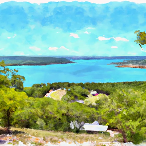
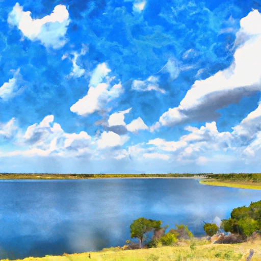
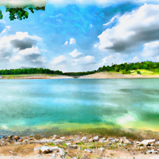
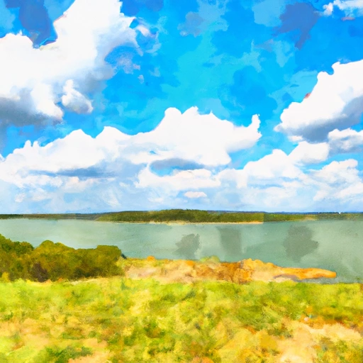
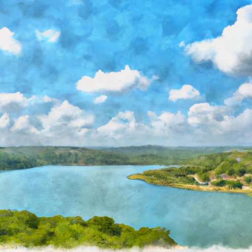
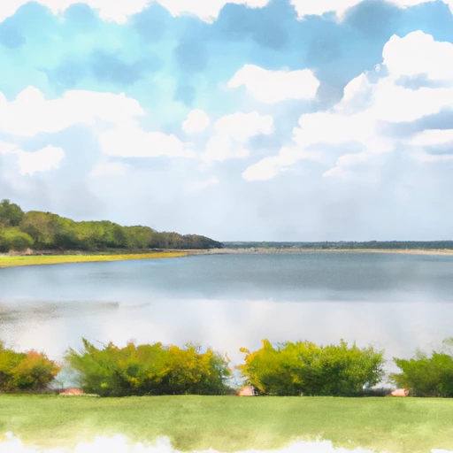
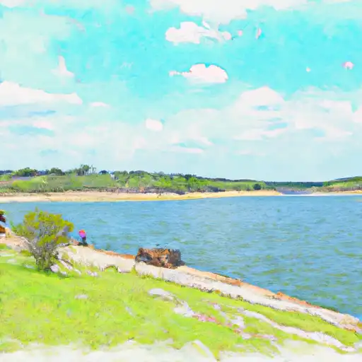
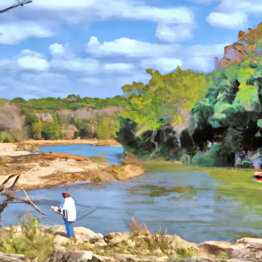
Granger Lake is a reservoir located in Williamson County, Texas, near the city of Granger.
Summary
The lake was created in 1980 by the construction of a dam on the San Gabriel River. The primary purpose of the lake is to provide flood control, but it also serves as a source of drinking water and recreation for the surrounding area. The lake has a surface area of 4,400 acres and a maximum depth of 50 feet. The hydrology of the lake is influenced by the San Gabriel River and several smaller tributaries. The lake is also fed by snowpack from the nearby hills. The lake is used for a variety of recreational activities, including boating, fishing, and camping. The surrounding area is primarily agricultural, with crops including cotton, corn, and wheat.
Regional Streamflow Levels
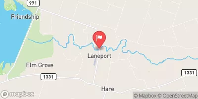 San Gabriel Rv At Laneport
|
486cfs |
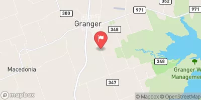 Willis Ck Nr Granger
|
30cfs |
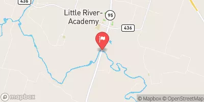 Little Rv Nr Little River
|
374cfs |
 Little Rv Nr Rockdale
|
968cfs |
 Berry Ck At Airport Rd Nr Georgetown
|
46cfs |
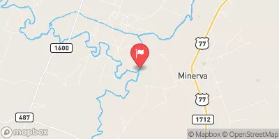
 Salado Ck At Salado
|
67cfs |
15-Day Long Term Forecast
Reservoir Details
| Lake Or Reservoir Water Surface Elevation Above Ngvd 1929, Ft 24hr Change | -0.01% |
| Percent of Normal | 100% |
| Minimum |
498.4 ft
2011-11-13 |
| Maximum |
519.23 ft
2015-05-31 |
| Average | 505 ft |
| Dam_Height | 115 |
| Hydraulic_Height | 114 |
| Drainage_Area | 475 |
| Year_Completed | 1979 |
| Nid_Storage | 650000 |
| Structural_Height | 115 |
| River_Or_Stream | SAN GABRIEL RIVER |
| Foundations | Rock, Soil |
| Surface_Area | 4400 |
| Hazard_Potential | High |
| Outlet_Gates | Uncontrolled - 0 |
| Dam_Length | 15240 |
| Primary_Dam_Type | Earth |
| Nid_Height | 115 |
Seasonal Comparison
Wind Speed, Mph Levels
Wind Direction, Degrees Clockwise From North Levels
Precipitation, Total, In Levels
Lake Or Reservoir Water Surface Elevation Above Ngvd 1929, Ft Levels
5-Day Hourly Forecast Detail
Dam Data Reference
Condition Assessment
SatisfactoryNo existing or potential dam safety deficiencies are recognized. Acceptable performance is expected under all loading conditions (static, hydrologic, seismic) in accordance with the minimum applicable state or federal regulatory criteria or tolerable risk guidelines.
Fair
No existing dam safety deficiencies are recognized for normal operating conditions. Rare or extreme hydrologic and/or seismic events may result in a dam safety deficiency. Risk may be in the range to take further action. Note: Rare or extreme event is defined by the regulatory agency based on their minimum
Poor A dam safety deficiency is recognized for normal operating conditions which may realistically occur. Remedial action is necessary. POOR may also be used when uncertainties exist as to critical analysis parameters which identify a potential dam safety deficiency. Investigations and studies are necessary.
Unsatisfactory
A dam safety deficiency is recognized that requires immediate or emergency remedial action for problem resolution.
Not Rated
The dam has not been inspected, is not under state or federal jurisdiction, or has been inspected but, for whatever reason, has not been rated.
Not Available
Dams for which the condition assessment is restricted to approved government users.
Hazard Potential Classification
HighDams assigned the high hazard potential classification are those where failure or mis-operation will probably cause loss of human life.
Significant
Dams assigned the significant hazard potential classification are those dams where failure or mis-operation results in no probable loss of human life but can cause economic loss, environment damage, disruption of lifeline facilities, or impact other concerns. Significant hazard potential classification dams are often located in predominantly rural or agricultural areas but could be in areas with population and significant infrastructure.
Low
Dams assigned the low hazard potential classification are those where failure or mis-operation results in no probable loss of human life and low economic and/or environmental losses. Losses are principally limited to the owner's property.
Undetermined
Dams for which a downstream hazard potential has not been designated or is not provided.
Not Available
Dams for which the downstream hazard potential is restricted to approved government users.
Area Campgrounds
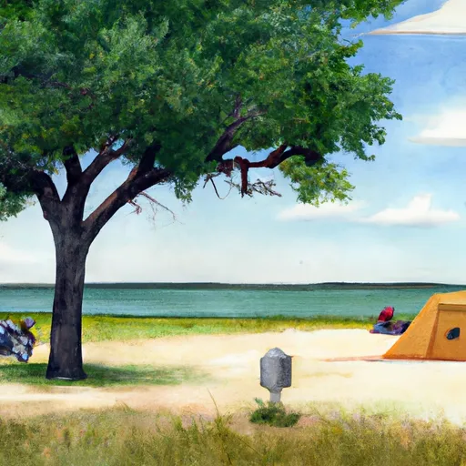 Wilson Fox - Granger Lake
 Taylor - Granger Lake
 Willis Creek - Granger Lake
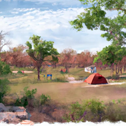 Berry Springs Park and Preserve
 Cedar Breaks - Lake Georgetown
 Jim Hogg - Lake Georgetown
Nearby Reservoirs
-
Granger Dam
-
Hejl Lake Dam
-
Lower Brushy Creek Ws Scs Site 3 Dam
-
Lower Brushy Creek Ws Scs Site 7 Dam
-
Lower Brushy Creek Ws Scs Site 6 Dam
-
Lower Brushy Creek Ws Scs Site 4a Dam
-
 Granger Lk Nr Granger
-
 Lk Georgetown Nr Georgetown
-
 Stillhouse Hollow Lk Nr Belton
-
 Belton Lk Nr Belton
-
 Lk Travis Nr Austin
-
 Somerville Lk Nr Somerville
 Williamson County
 Lake Georgetown
 Stillhouse Hollow
 Walter E. Long Lake (Decker)
 Belton Lake
 Lake Bastrop