Richert Dam 2 Reservoir Report
Nearby: Richert Road Dam Dey Dam
Last Updated: February 23, 2026
Located in Seward, Nebraska, Richert Dam 2 is a privately owned irrigation dam designed by the USDA NRCS and completed in 1963.
Summary
This earth dam stands at a height of 12 feet with a structural height of 15 feet and a hydraulic height of 11 feet. It has a length of 350 feet and can hold a maximum storage capacity of 118 acre-feet, serving the purpose of irrigation for the surrounding area.
Managed by the Nebraska Department of Natural Resources, Richert Dam 2 is regulated, permitted, inspected, and enforced by state agencies to ensure its safety and compliance with regulations. Despite its low hazard potential, the dam's condition assessment in 2017 rated it as poor. With a drainage area of 1.6 square miles and a maximum discharge capacity of 345 cubic feet per second, the dam plays a crucial role in managing water resources in the region.
Although the dam's condition assessment may raise concerns, ongoing inspections and maintenance efforts can help mitigate any potential risks. Richert Dam 2's role in irrigation and water management in the area highlights the importance of sustainable infrastructure for water resource and climate enthusiasts. Protecting and maintaining such structures is essential for ensuring the continued availability and efficient use of water resources in the region.
°F
°F
mph
Wind
%
Humidity
15-Day Weather Outlook
Year Completed |
1963 |
Dam Length |
350 |
Dam Height |
12 |
River Or Stream |
TR-WILDCAT CREEK |
Primary Dam Type |
Earth |
Surface Area |
1 |
Hydraulic Height |
11 |
Drainage Area |
1.6 |
Nid Storage |
118 |
Structural Height |
15 |
Hazard Potential |
Low |
Foundations |
Soil |
Nid Height |
15 |
Seasonal Comparison
5-Day Hourly Forecast Detail
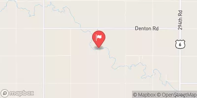
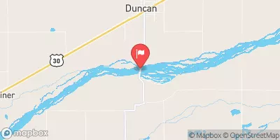
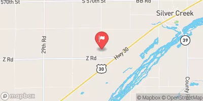
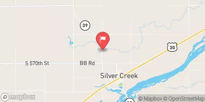
Nearby Streamflow Levels
Dam Data Reference
Condition Assessment
SatisfactoryNo existing or potential dam safety deficiencies are recognized. Acceptable performance is expected under all loading conditions (static, hydrologic, seismic) in accordance with the minimum applicable state or federal regulatory criteria or tolerable risk guidelines.
Fair
No existing dam safety deficiencies are recognized for normal operating conditions. Rare or extreme hydrologic and/or seismic events may result in a dam safety deficiency. Risk may be in the range to take further action. Note: Rare or extreme event is defined by the regulatory agency based on their minimum
Poor A dam safety deficiency is recognized for normal operating conditions which may realistically occur. Remedial action is necessary. POOR may also be used when uncertainties exist as to critical analysis parameters which identify a potential dam safety deficiency. Investigations and studies are necessary.
Unsatisfactory
A dam safety deficiency is recognized that requires immediate or emergency remedial action for problem resolution.
Not Rated
The dam has not been inspected, is not under state or federal jurisdiction, or has been inspected but, for whatever reason, has not been rated.
Not Available
Dams for which the condition assessment is restricted to approved government users.
Hazard Potential Classification
HighDams assigned the high hazard potential classification are those where failure or mis-operation will probably cause loss of human life.
Significant
Dams assigned the significant hazard potential classification are those dams where failure or mis-operation results in no probable loss of human life but can cause economic loss, environment damage, disruption of lifeline facilities, or impact other concerns. Significant hazard potential classification dams are often located in predominantly rural or agricultural areas but could be in areas with population and significant infrastructure.
Low
Dams assigned the low hazard potential classification are those where failure or mis-operation results in no probable loss of human life and low economic and/or environmental losses. Losses are principally limited to the owner's property.
Undetermined
Dams for which a downstream hazard potential has not been designated or is not provided.
Not Available
Dams for which the downstream hazard potential is restricted to approved government users.


 Richert Dam 2