Dey Dam Reservoir Report
Nearby: Rabe Dam Richert Dam 2
Last Updated: February 23, 2026
Dey Dam, located in York, Nebraska, is a privately owned earth dam designed by the USDA NRCS and completed in 1963.
Summary
This dam serves multiple purposes, with a primary purpose classified as "Other." With a height of 17.3 feet and a storage capacity of 83.3 acre-feet, Dey Dam plays a crucial role in managing water resources in the area, with a normal storage capacity of 5.9 acre-feet and a drainage area of 0.96 square miles.
Owned and regulated by the Nebraska Department of Natural Resources, Dey Dam is inspected regularly to ensure its structural integrity and is classified as having a low hazard potential with a satisfactory condition assessment. The dam has a hydraulic height of 15.46 feet and a structural height of 21.3 feet, with a length of 280 feet and a surface area of 2.1 acres. With a maximum discharge capacity of 372 cubic feet per second, Dey Dam provides essential flood control and water management services for the surrounding area, showcasing the importance of sustainable infrastructure in water resource management.
Situated on the TR-Lincoln Creek, Dey Dam is located in Seward, Nebraska, within the Omaha District. Its design incorporates buttress and stone core types with a soil foundation, highlighting the intricate engineering involved in its construction. With a dedicated team overseeing its operations and upkeep, Dey Dam stands as a testament to the collaboration between federal and state agencies in ensuring the safety and functionality of vital water infrastructure for the benefit of the local community and the environment.
°F
°F
mph
Wind
%
Humidity
15-Day Weather Outlook
Year Completed |
1963 |
Dam Length |
280 |
Dam Height |
17.3 |
River Or Stream |
TR-LINCOLN CREEK |
Primary Dam Type |
Earth |
Surface Area |
2.1 |
Hydraulic Height |
15.46 |
Drainage Area |
0.96 |
Nid Storage |
83.3 |
Structural Height |
21.3 |
Hazard Potential |
Low |
Foundations |
Soil |
Nid Height |
21 |
Seasonal Comparison
5-Day Hourly Forecast Detail
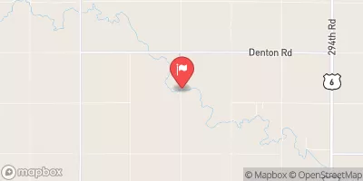
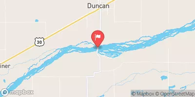
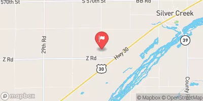
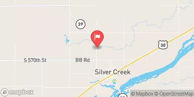
Nearby Streamflow Levels
Dam Data Reference
Condition Assessment
SatisfactoryNo existing or potential dam safety deficiencies are recognized. Acceptable performance is expected under all loading conditions (static, hydrologic, seismic) in accordance with the minimum applicable state or federal regulatory criteria or tolerable risk guidelines.
Fair
No existing dam safety deficiencies are recognized for normal operating conditions. Rare or extreme hydrologic and/or seismic events may result in a dam safety deficiency. Risk may be in the range to take further action. Note: Rare or extreme event is defined by the regulatory agency based on their minimum
Poor A dam safety deficiency is recognized for normal operating conditions which may realistically occur. Remedial action is necessary. POOR may also be used when uncertainties exist as to critical analysis parameters which identify a potential dam safety deficiency. Investigations and studies are necessary.
Unsatisfactory
A dam safety deficiency is recognized that requires immediate or emergency remedial action for problem resolution.
Not Rated
The dam has not been inspected, is not under state or federal jurisdiction, or has been inspected but, for whatever reason, has not been rated.
Not Available
Dams for which the condition assessment is restricted to approved government users.
Hazard Potential Classification
HighDams assigned the high hazard potential classification are those where failure or mis-operation will probably cause loss of human life.
Significant
Dams assigned the significant hazard potential classification are those dams where failure or mis-operation results in no probable loss of human life but can cause economic loss, environment damage, disruption of lifeline facilities, or impact other concerns. Significant hazard potential classification dams are often located in predominantly rural or agricultural areas but could be in areas with population and significant infrastructure.
Low
Dams assigned the low hazard potential classification are those where failure or mis-operation results in no probable loss of human life and low economic and/or environmental losses. Losses are principally limited to the owner's property.
Undetermined
Dams for which a downstream hazard potential has not been designated or is not provided.
Not Available
Dams for which the downstream hazard potential is restricted to approved government users.


 Dey Dam