Kucera Dam Reservoir Report
Last Updated: January 4, 2026
Located in Clarkson, Nebraska, the Kucera Dam stands as a testament to the collaboration between the private sector and the USDA NRCS in ensuring flood risk reduction and other water resource management activities.
°F
°F
mph
Wind
%
Humidity
Summary
Built in 1971, this earth dam boasts a height of 36 feet and a length of 781 feet, providing a storage capacity of 674 acre-feet for the TR-MID FK MAPLE CREEK watershed. With a low hazard potential and a satisfactory condition assessment, the dam is regulated by the NE DNR and undergoes regular inspections to ensure its structural integrity.
The Kucera Dam plays a crucial role in protecting the surrounding community and environment from potential flooding events, with a maximum discharge capacity of 2060 cubic feet per second. Its primary purpose extends beyond flood risk reduction to encompass various water resource management activities, demonstrating its versatility in catering to the diverse needs of the region. With a surface area of 15 acres and a drainage area of 2.8 square miles, the dam serves as a vital infrastructure for water storage and management in Stanton County, Nebraska.
As a key component of the local water resource infrastructure, the Kucera Dam not only provides essential flood protection but also supports various other purposes such as irrigation and recreational activities. With its strategic location and reliable performance, the dam stands as a beacon of effective water resource management, showcasing the importance of collaboration between private owners and regulatory agencies in safeguarding our natural environment and ensuring sustainable water use for future generations.
Year Completed |
1971 |
Dam Length |
781 |
Dam Height |
36 |
River Or Stream |
TR-MID FK MAPLE CREEK |
Primary Dam Type |
Earth |
Surface Area |
15 |
Hydraulic Height |
35 |
Drainage Area |
2.8 |
Nid Storage |
674 |
Structural Height |
37 |
Hazard Potential |
Low |
Foundations |
Soil |
Nid Height |
37 |
Seasonal Comparison
Weather Forecast
Nearby Streamflow Levels
 Elkhorn River At Pilger
|
633cfs |
 Shell Creek Near Columbus
|
87cfs |
 Elkhorn River At West Point
|
877cfs |
 Elkhorn R At Norfolk Ne
|
440cfs |
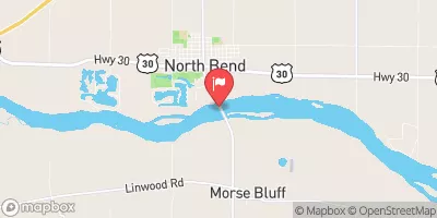 Platte River At North Bend
|
4920cfs |
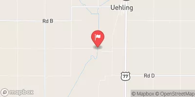 Logan Creek Near Uehling
|
359cfs |
Dam Data Reference
Condition Assessment
SatisfactoryNo existing or potential dam safety deficiencies are recognized. Acceptable performance is expected under all loading conditions (static, hydrologic, seismic) in accordance with the minimum applicable state or federal regulatory criteria or tolerable risk guidelines.
Fair
No existing dam safety deficiencies are recognized for normal operating conditions. Rare or extreme hydrologic and/or seismic events may result in a dam safety deficiency. Risk may be in the range to take further action. Note: Rare or extreme event is defined by the regulatory agency based on their minimum
Poor A dam safety deficiency is recognized for normal operating conditions which may realistically occur. Remedial action is necessary. POOR may also be used when uncertainties exist as to critical analysis parameters which identify a potential dam safety deficiency. Investigations and studies are necessary.
Unsatisfactory
A dam safety deficiency is recognized that requires immediate or emergency remedial action for problem resolution.
Not Rated
The dam has not been inspected, is not under state or federal jurisdiction, or has been inspected but, for whatever reason, has not been rated.
Not Available
Dams for which the condition assessment is restricted to approved government users.
Hazard Potential Classification
HighDams assigned the high hazard potential classification are those where failure or mis-operation will probably cause loss of human life.
Significant
Dams assigned the significant hazard potential classification are those dams where failure or mis-operation results in no probable loss of human life but can cause economic loss, environment damage, disruption of lifeline facilities, or impact other concerns. Significant hazard potential classification dams are often located in predominantly rural or agricultural areas but could be in areas with population and significant infrastructure.
Low
Dams assigned the low hazard potential classification are those where failure or mis-operation results in no probable loss of human life and low economic and/or environmental losses. Losses are principally limited to the owner's property.
Undetermined
Dams for which a downstream hazard potential has not been designated or is not provided.
Not Available
Dams for which the downstream hazard potential is restricted to approved government users.

 Kucera Dam