Brown Dam 2007 dam

Brown Dam 2007
Brown Dam 2007, located in Bushnell, Nebraska, is a privately owned structure designed by USDA NRCS with a primary purpose of fire protection, stock, or small fish pond. Built in 1963, this earth dam stands at a height of 15.5 feet and has a storage capacity of 52.2 acre-feet. It spans 250 feet in length and covers a surface area of 6.52 acres, serving the Lodgepole Creek watershed in Kimball County.
Managed by the Nebraska Department of Natural Resources, Brown Dam 2007 is regulated, permitted, inspected, and enforced by state authorities to ensure its safety and functionality. With a low hazard potential and a satisfactory condition assessment as of November 2017, this dam plays a crucial role in water resource management and agricultural activities in the region. While it lacks certain features like a spillway or outlet gates, its importance for fire protection and livestock needs cannot be understated in the semi-arid climate of Nebraska.
For water resource and climate enthusiasts, Brown Dam 2007 serves as a vital infrastructure for local water storage and management, contributing to the resilience of the Lodgepole Creek watershed. Its design, construction, and maintenance reflect a commitment to sustainable practices and regulatory compliance, ensuring the safety of downstream communities and ecosystems. As climate change continues to impact water availability in the region, dams like Brown Dam 2007 play a crucial role in securing water resources for various purposes while mitigating potential risks associated with floods and droughts.
Plan around the weather
Same NOAA / yr.no feed Snoflo's iOS app uses. Watch the precipitation column on the meteogram -- rain on the basin upstream typically lifts inflow 24-72 hours later.
Next 5 days, hour by hour
Temperature line with weather symbols on top, snow + rain accumulation as columns, humidity as a dotted line.
5-day forecast table
Every 3 hours, broken out across temperature, snow, rain, humidity, and wind. Each cell is colour-coded relative to the column min/max.
| Time | Condition | Temp (°F) | Snow (in) | Rain (in) | Humidity (%) | Wind (mps) | Wind dir |
|---|---|---|---|---|---|---|---|
| Loading detailed forecast… | |||||||
15-day temperature & precipitation
Daily temperatures, snow, and rain projected over the next two weeks.
Nearby streamflow gauges
USGS streamgauges around Brown Dam 2007 -- inflows here typically show up in storage 24-72 hours later.
| Streamgauge | Discharge | View |
|---|---|---|
| Lodgepole Creek At Bushnell | · | → |
| Crow Creek At 19th Street | 3 cfs | → |
Make a day of it
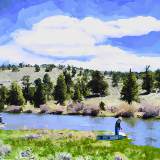
Boat launches, lakeside camping, fishing access, and other reservoirs near Brown Dam 2007.
Campgrounds
See all →


About Brown Dam 2007
Where does the data for Brown Dam 2007 come from?
Structural and regulatory data come from the U.S. Army Corps of Engineers' National Inventory of Dams (NID). Weather forecast comes from NOAA / yr.no -- the same feed Snoflo's iOS app uses.
How often is the report updated?
NID structural data refreshes annually as the Corps publishes updated assessments. The weather forecast refreshes throughout the day.
What does the Low hazard rating mean?
The Corps of Engineers' hazard potential classification grades probable consequences if the dam fails: High = probable loss of human life; Significant = no probable loss of human life but possible economic loss / environmental damage; Low = no probable loss of human life, only minor economic / environmental losses. See the Dam Data Reference card below for the full definitions.
What's "% of normal"?
The current storage value compared to the historical average storage on this calendar day. 100% = right on average; values above 100% mean above-normal storage (wet year); values below mean below-normal (dry year or drought).
Can I get alerts when storage crosses a threshold?
Yes -- alerts are managed in the Snoflo iOS app. Favorite this dam, set a threshold, and you'll get a push the moment conditions cross.
Dam data reference
Condition Assessment
- Satisfactory
- No existing or potential dam safety deficiencies are recognized. Acceptable performance is expected under all loading conditions (static, hydrologic, seismic) in accordance with the minimum applicable state or federal regulatory criteria or tolerable risk guidelines.
- Fair
- No existing dam safety deficiencies are recognized for normal operating conditions. Rare or extreme hydrologic and/or seismic events may result in a dam safety deficiency. Risk may be in the range to take further action.
- Poor
- A dam safety deficiency is recognized for normal operating conditions which may realistically occur. Remedial action is necessary. POOR may also be used when uncertainties exist as to critical analysis parameters which identify a potential dam safety deficiency.
- Unsatisfactory
- A dam safety deficiency is recognized that requires immediate or emergency remedial action for problem resolution.
- Not Rated
- The dam has not been inspected, is not under state or federal jurisdiction, or has been inspected but, for whatever reason, has not been rated.
Hazard Potential Classification
- High
- Dams assigned the high hazard potential classification are those where failure or mis-operation will probably cause loss of human life.
- Significant
- Dams assigned the significant hazard potential classification are those dams where failure or mis-operation results in no probable loss of human life but can cause economic loss, environmental damage, disruption of lifeline facilities, or impact other concerns. Significant hazard potential classification dams are often located in predominantly rural or agricultural areas but could be in areas with population and significant infrastructure.
- Low
- Dams assigned the low hazard potential classification are those where failure or mis-operation results in no probable loss of human life and low economic and/or environmental losses. Losses are principally limited to the owner's property.
- Undetermined
- Dams for which a downstream hazard potential has not been designated or is not provided.